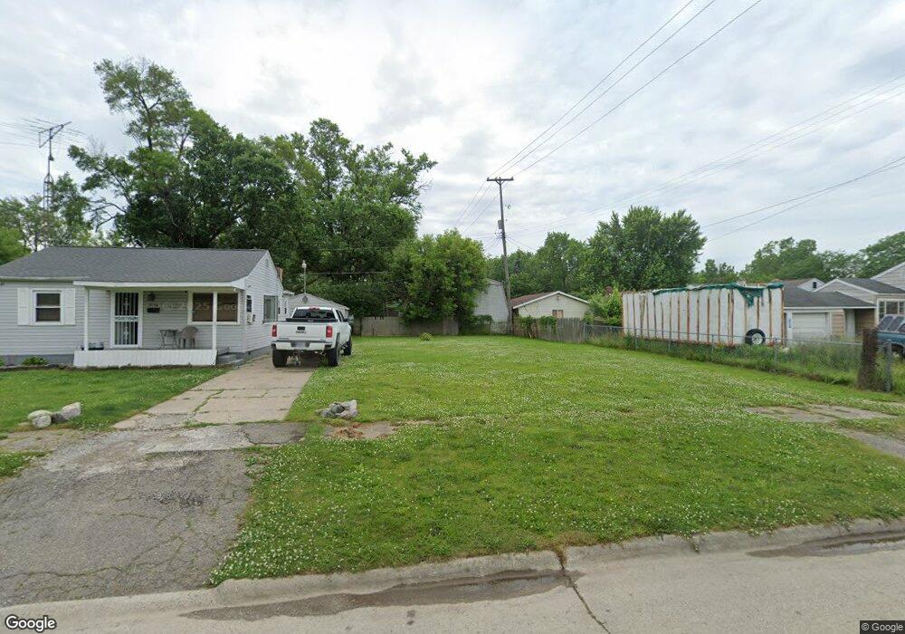
3112 Holly Ave Flint, MI 48506
Potter Longway NeighborhoodEstimated Value: $67,000 - $123,000
2
Beds
1
Bath
572
Sq Ft
$168/Sq Ft
Est. Value
About This Home
This home is located at 3112 Holly Ave, Flint, MI 48506 and is currently estimated at $95,910, approximately $167 per square foot. 3112 Holly Ave is a home located in Genesee County with nearby schools including Potter School, Richfield Public School Academy, and Richfield Early Learning Center.
Ownership History
Date
Name
Owned For
Owner Type
Purchase Details
Closed on
Dec 17, 2015
Sold by
Genesee County
Bought by
Genesee County Land Bank
Current Estimated Value
Purchase Details
Closed on
Nov 3, 2009
Sold by
Mortgage Electronic Registration Systems
Bought by
Federal National Mortgage Association
Purchase Details
Closed on
Sep 23, 2009
Sold by
Brown Patrick and Brown Maureen
Bought by
Mortgage Electronic Registration Systems
Purchase Details
Closed on
Nov 29, 2006
Sold by
Brown Douglas E and Brown Kathleen A
Bought by
Brown Patrick and Brown Maureen
Home Financials for this Owner
Home Financials are based on the most recent Mortgage that was taken out on this home.
Original Mortgage
$40,000
Interest Rate
6.47%
Mortgage Type
Purchase Money Mortgage
Create a Home Valuation Report for This Property
The Home Valuation Report is an in-depth analysis detailing your home's value as well as a comparison with similar homes in the area
Home Values in the Area
Average Home Value in this Area
Purchase History
| Date | Buyer | Sale Price | Title Company |
|---|---|---|---|
| Genesee County Land Bank | -- | None Available | |
| Federal National Mortgage Association | -- | None Available | |
| Mortgage Electronic Registration Systems | $35,170 | None Available | |
| Brown Patrick | $40,000 | Cislo Title Co |
Source: Public Records
Mortgage History
| Date | Status | Borrower | Loan Amount |
|---|---|---|---|
| Previous Owner | Brown Patrick | $40,000 |
Source: Public Records
Tax History Compared to Growth
Tax History
| Year | Tax Paid | Tax Assessment Tax Assessment Total Assessment is a certain percentage of the fair market value that is determined by local assessors to be the total taxable value of land and additions on the property. | Land | Improvement |
|---|---|---|---|---|
| 2025 | -- | $0 | $0 | $0 |
| 2024 | -- | $0 | $0 | $0 |
| 2023 | -- | $0 | $0 | $0 |
| 2022 | $0 | $0 | $0 | $0 |
| 2021 | $0 | $0 | $0 | $0 |
| 2020 | $0 | $0 | $0 | $0 |
| 2019 | $0 | $0 | $0 | $0 |
| 2018 | $0 | $0 | $0 | $0 |
| 2017 | $0 | $0 | $0 | $0 |
| 2016 | $0 | $0 | $0 | $0 |
| 2015 | -- | $0 | $0 | $0 |
| 2014 | -- | $0 | $0 | $0 |
| 2012 | -- | $9,500 | $0 | $0 |
Source: Public Records
Map
Nearby Homes
- 3205 Holly Ave
- 3232 Dale Ave
- 3149 Whittier Ave
- 3220 Woodrow Ave
- 3401 Davison Rd
- 3116 Beechwood Ave
- 3514 Whittier Ave
- 3214 Maryland Ave
- 2719 Branch Rd
- 3421 Brewster St
- 3617 Churchill Ave
- 3617 Davison Rd
- 2211 Torrance St
- 1414 Earlmoor Blvd
- 3730 Holly Ave
- 2426 Hoff St
- 1324 Earlmoor Blvd
- 3713 Risedorph Ave
- 3739 Marmion Ave
- 3740 Ivanhoe Ave