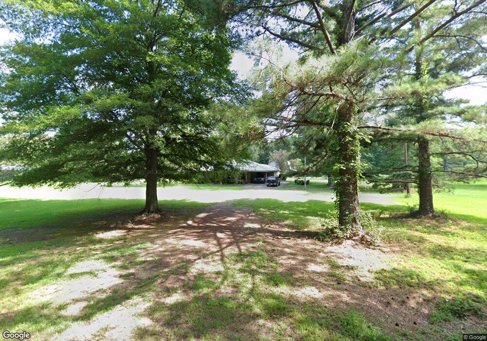
3113 Cowart Price Rd Tylertown, MS 39667
Estimated Value: $177,001 - $414,000
3
Beds
3
Baths
1,804
Sq Ft
$155/Sq Ft
Est. Value
About This Home
This home is located at 3113 Cowart Price Rd, Tylertown, MS 39667 and is currently estimated at $278,750, approximately $154 per square foot. 3113 Cowart Price Rd is a home located in Pike County with nearby schools including North Pike Elementary School, North Pike Middle School, and North Pike Senior High School.
Ownership History
Date
Name
Owned For
Owner Type
Purchase Details
Closed on
Feb 24, 2009
Sold by
Carter Lindsay S and Smith Lindsay
Bought by
Self Michael Ray and Self Debra L
Current Estimated Value
Home Financials for this Owner
Home Financials are based on the most recent Mortgage that was taken out on this home.
Original Mortgage
$149,500
Outstanding Balance
$93,737
Interest Rate
5.03%
Mortgage Type
New Conventional
Estimated Equity
$185,013
Create a Home Valuation Report for This Property
The Home Valuation Report is an in-depth analysis detailing your home's value as well as a comparison with similar homes in the area
Home Values in the Area
Average Home Value in this Area
Purchase History
| Date | Buyer | Sale Price | Title Company |
|---|---|---|---|
| Self Michael Ray | -- | None Available |
Source: Public Records
Mortgage History
| Date | Status | Borrower | Loan Amount |
|---|---|---|---|
| Open | Self Michael Ray | $149,500 |
Source: Public Records
Tax History Compared to Growth
Tax History
| Year | Tax Paid | Tax Assessment Tax Assessment Total Assessment is a certain percentage of the fair market value that is determined by local assessors to be the total taxable value of land and additions on the property. | Land | Improvement |
|---|---|---|---|---|
| 2025 | $482 | $13,198 | $0 | $0 |
| 2024 | $482 | $11,011 | $0 | $0 |
| 2023 | $440 | $10,775 | $0 | $0 |
| 2022 | $434 | $10,775 | $0 | $0 |
| 2021 | $433 | $10,775 | $0 | $0 |
| 2020 | $569 | $11,788 | $0 | $0 |
| 2019 | $1,218 | $11,719 | $0 | $0 |
| 2018 | $1,208 | $11,719 | $0 | $0 |
| 2017 | $1,175 | $11,719 | $0 | $0 |
| 2016 | $1,003 | $11,719 | $0 | $0 |
| 2015 | $1,053 | $12,462 | $0 | $0 |
| 2014 | $1,024 | $12,462 | $0 | $0 |
| 2013 | -- | $12,462 | $0 | $0 |
Source: Public Records
Map
Nearby Homes
- 1095 Eric Price Rd
- TBD Carters Creek Rd
- 1017 Hidden Meadow Ln
- 1073 Hillcrest Farms Ln
- 0 C D Rayborn Rd
- 182 Hwy 44 None
- 8001 W Topisaw S
- Leonard Rd
- 37 Adron Boyd Rd
- 0 Beartown Rd
- 5161 River Rd S
- 1168 Clem Nettles Rd
- 0 Matthews Rd
- 1139 Hwy 583 N
- 5014 Leatherwood Rd
- XXX Highway 44
- 325 Beartown Rd
- 0 Hwy 583 N Unit LotWP001 19718421
- 0 Hwy 583 N Unit LotWP001 19718422
- 0 Hwy 583 N Unit LotWP001 19872463
- 3109 Cowart Price Rd
- 3139 Cowart Price Rd
- XXX Coffey Rd
- 3060 Cowart Price Rd
- 3061 Cowart Price Rd
- 1092 Coffey Rd
- 2173 Cowart Price Rd
- 1086 Coffey Rd
- 1075 Coffey Rd
- 1021 Eric Price Rd
- 1072 Coffey Rd
- 4024 Cowart Price Rd
- 1016 Coffey Rd
- 2184 Cowart Price Rd
- 1055 Coffey Rd
- 1066 Cowart Price Rd
- 1047 Coffey Rd
- 1006 Coffey Rd
- 5124 Mississippi 44
- 0 Cowart Price Rd