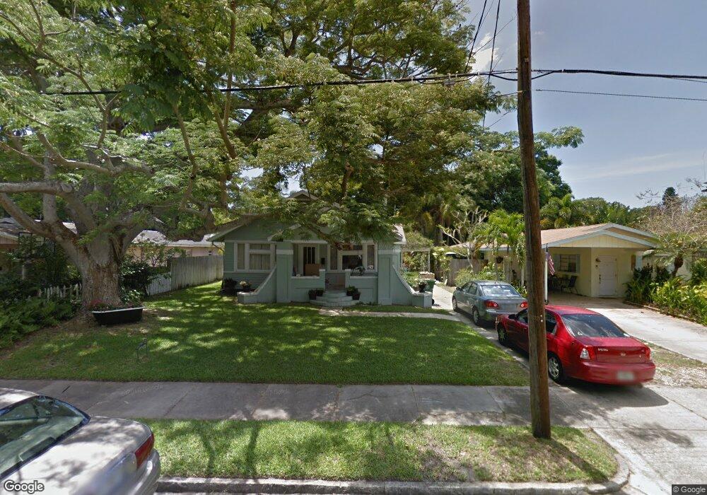
312 30th St W Bradenton, FL 34205
Central Bradenton NeighborhoodEstimated Value: $239,000 - $474,000
2
Beds
1
Bath
1,837
Sq Ft
$201/Sq Ft
Est. Value
About This Home
This home is located at 312 30th St W, Bradenton, FL 34205 and is currently estimated at $369,588, approximately $201 per square foot. 312 30th St W is a home located in Manatee County with nearby schools including Ballard Elementary School, Manatee High School, and Martha B. King Middle School.
Ownership History
Date
Name
Owned For
Owner Type
Purchase Details
Closed on
Oct 5, 1999
Sold by
Coleman Janet L and Thomas Janet L
Bought by
Scott Laura Helen
Current Estimated Value
Home Financials for this Owner
Home Financials are based on the most recent Mortgage that was taken out on this home.
Original Mortgage
$65,450
Outstanding Balance
$19,702
Interest Rate
7.79%
Estimated Equity
$349,886
Purchase Details
Closed on
Jun 25, 1999
Sold by
Zehner Jeannine K and Westbrook Jeannine
Bought by
Thompson Janet L
Create a Home Valuation Report for This Property
The Home Valuation Report is an in-depth analysis detailing your home's value as well as a comparison with similar homes in the area
Home Values in the Area
Average Home Value in this Area
Purchase History
| Date | Buyer | Sale Price | Title Company |
|---|---|---|---|
| Scott Laura Helen | $81,900 | -- | |
| Thompson Janet L | $57,500 | -- |
Source: Public Records
Mortgage History
| Date | Status | Borrower | Loan Amount |
|---|---|---|---|
| Open | Scott Laura Helen | $65,450 |
Source: Public Records
Tax History Compared to Growth
Tax History
| Year | Tax Paid | Tax Assessment Tax Assessment Total Assessment is a certain percentage of the fair market value that is determined by local assessors to be the total taxable value of land and additions on the property. | Land | Improvement |
|---|---|---|---|---|
| 2025 | $1,841 | $145,241 | -- | -- |
| 2024 | $1,841 | $141,148 | -- | -- |
| 2023 | $1,803 | $137,037 | $0 | $0 |
| 2022 | $1,691 | $130,174 | $0 | $0 |
| 2021 | $1,606 | $126,383 | $0 | $0 |
| 2020 | $1,650 | $124,638 | $0 | $0 |
| 2019 | $1,611 | $121,836 | $0 | $0 |
| 2018 | $1,585 | $119,564 | $0 | $0 |
| 2017 | $1,468 | $117,105 | $0 | $0 |
| 2016 | $1,451 | $114,696 | $0 | $0 |
| 2015 | $1,459 | $113,899 | $0 | $0 |
| 2014 | $1,459 | $112,995 | $0 | $0 |
| 2013 | $1,444 | $111,325 | $31,600 | $79,725 |
Source: Public Records
Map
Nearby Homes
- 121 32nd St W
- 2713 4th Ave W
- 102 28th St W
- 3308 3rd Ave W
- 222 27th St W
- 2705 2nd Ave W
- 115 29th St NW
- 118 29th St NW
- 520 27th St W
- 3325 2nd Ave W
- 708 32nd St W
- 124 28th Street Ct NW
- 3212 Avenue A W
- 2906 9th Ave W
- 208 36th St W
- 707 35th St W
- 320 25th St W
- 2716 Riverview Blvd
- 2925 9th Ave W
- 2722 9th Ave W