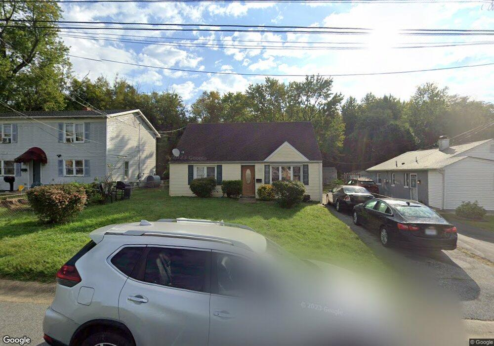
312 Cedar Ave Wilmington, DE 19804
Estimated Value: $224,000 - $288,000
3
Beds
1
Bath
945
Sq Ft
$278/Sq Ft
Est. Value
About This Home
This home is located at 312 Cedar Ave, Wilmington, DE 19804 and is currently estimated at $262,779, approximately $278 per square foot. 312 Cedar Ave is a home located in New Castle County with nearby schools including Richey Elementary School, Stanton Middle School, and Dickinson (John) High School.
Ownership History
Date
Name
Owned For
Owner Type
Purchase Details
Closed on
Nov 16, 2021
Sold by
Matthews Pamela J Dorsey
Bought by
Dorsey Jerome A
Current Estimated Value
Home Financials for this Owner
Home Financials are based on the most recent Mortgage that was taken out on this home.
Original Mortgage
$136,000
Outstanding Balance
$124,793
Interest Rate
3.09%
Mortgage Type
New Conventional
Estimated Equity
$137,986
Purchase Details
Closed on
Nov 14, 2007
Sold by
Dorsey John and Dorsey Charles
Bought by
Matthews Pamela J Dorsey
Home Financials for this Owner
Home Financials are based on the most recent Mortgage that was taken out on this home.
Original Mortgage
$76,000
Interest Rate
6.27%
Mortgage Type
New Conventional
Create a Home Valuation Report for This Property
The Home Valuation Report is an in-depth analysis detailing your home's value as well as a comparison with similar homes in the area
Home Values in the Area
Average Home Value in this Area
Purchase History
| Date | Buyer | Sale Price | Title Company |
|---|---|---|---|
| Dorsey Jerome A | $170,000 | None Available | |
| Matthews Pamela J Dorsey | -- | None Available |
Source: Public Records
Mortgage History
| Date | Status | Borrower | Loan Amount |
|---|---|---|---|
| Open | Dorsey Jerome A | $136,000 | |
| Previous Owner | Matthews Pamela J Dorsey | $76,000 |
Source: Public Records
Tax History Compared to Growth
Tax History
| Year | Tax Paid | Tax Assessment Tax Assessment Total Assessment is a certain percentage of the fair market value that is determined by local assessors to be the total taxable value of land and additions on the property. | Land | Improvement |
|---|---|---|---|---|
| 2024 | $1,115 | $29,400 | $5,900 | $23,500 |
| 2023 | $987 | $29,400 | $5,900 | $23,500 |
| 2022 | $994 | $29,400 | $5,900 | $23,500 |
| 2021 | $993 | $29,400 | $5,900 | $23,500 |
| 2020 | $996 | $29,400 | $5,900 | $23,500 |
| 2019 | $1,456 | $29,400 | $5,900 | $23,500 |
| 2018 | $482 | $29,400 | $5,900 | $23,500 |
| 2017 | $920 | $29,400 | $5,900 | $23,500 |
| 2016 | $920 | $29,400 | $5,900 | $23,500 |
| 2015 | $863 | $29,400 | $5,900 | $23,500 |
| 2014 | $800 | $29,400 | $5,900 | $23,500 |
Source: Public Records
Map
Nearby Homes
- 402 Maple Ave
- 109 Cunard St
- 718 Newport Gap Pike
- 333 Clyde St
- 0 Kiamensi Rd
- 717 Garnet Rd
- 9 Standiford Ct Unit 172
- 1 Burnside Blvd
- 1217 Newport Gap Pike
- 5 Standiford Ct Unit 174
- 714 Woodtop Rd
- 100 Bestfield Rd
- 100 Lindberg Ave
- 102 Adelphia Ave
- 110 Silview Ave
- 608 N Augustine St
- 618 Boxwood Rd
- 419 Becker Ave
- 3419 LOT 4 Old Capitol Trail
- 3419 LOT 3 Old Capitol Trail