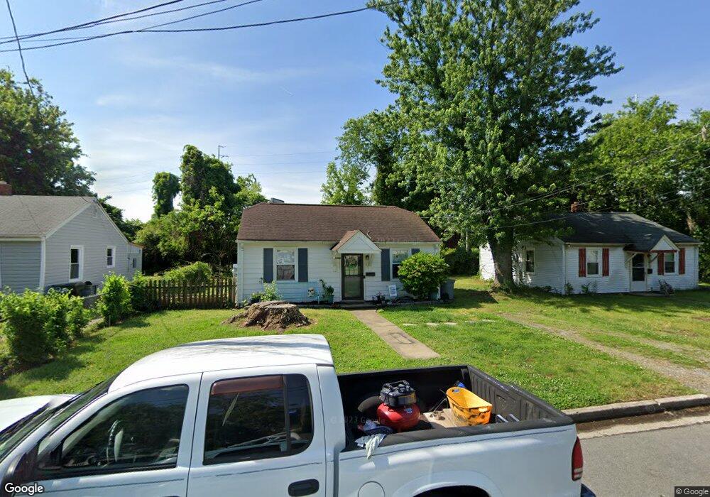
312 Cooper St Hampton, VA 23669
Pasture Point NeighborhoodEstimated Value: $132,000 - $176,481
2
Beds
1
Bath
672
Sq Ft
$233/Sq Ft
Est. Value
About This Home
This home is located at 312 Cooper St, Hampton, VA 23669 and is currently estimated at $156,870, approximately $233 per square foot. 312 Cooper St is a home located in Hampton City with nearby schools including Capt. John Smith Elementary School, C. Alton Lindsay Middle School, and Phoebus High School.
Ownership History
Date
Name
Owned For
Owner Type
Purchase Details
Closed on
Jul 27, 2020
Sold by
Woolard Phillip W and Woolard Mary S
Bought by
Clark Shelby and Pearson Susan
Current Estimated Value
Home Financials for this Owner
Home Financials are based on the most recent Mortgage that was taken out on this home.
Original Mortgage
$78,551
Outstanding Balance
$69,809
Interest Rate
3.1%
Mortgage Type
FHA
Estimated Equity
$87,061
Purchase Details
Closed on
Jun 2, 2005
Sold by
Bales Brian
Bought by
Howard James W
Create a Home Valuation Report for This Property
The Home Valuation Report is an in-depth analysis detailing your home's value as well as a comparison with similar homes in the area
Home Values in the Area
Average Home Value in this Area
Purchase History
| Date | Buyer | Sale Price | Title Company |
|---|---|---|---|
| Clark Shelby | $80,000 | Title Quest Of Hampton Roads | |
| Howard James W | $55,000 | -- |
Source: Public Records
Mortgage History
| Date | Status | Borrower | Loan Amount |
|---|---|---|---|
| Open | Clark Shelby | $78,551 |
Source: Public Records
Tax History
| Year | Tax Paid | Tax Assessment Tax Assessment Total Assessment is a certain percentage of the fair market value that is determined by local assessors to be the total taxable value of land and additions on the property. | Land | Improvement |
|---|---|---|---|---|
| 2025 | $1,710 | $141,100 | $49,500 | $91,600 |
| 2024 | $1,515 | $131,700 | $49,500 | $82,200 |
| 2023 | $1,339 | $115,400 | $49,500 | $65,900 |
| 2022 | $1,257 | $106,500 | $45,000 | $61,500 |
| 2021 | $1,252 | $90,500 | $38,300 | $52,200 |
| 2020 | $1,354 | $109,200 | $37,900 | $71,300 |
| 2019 | $1,354 | $109,200 | $37,900 | $71,300 |
| 2018 | $1,472 | $109,200 | $37,900 | $71,300 |
| 2017 | $1,448 | $0 | $0 | $0 |
| 2016 | $1,448 | $109,200 | $0 | $0 |
| 2015 | $1,495 | $0 | $0 | $0 |
| 2014 | $1,485 | $113,000 | $37,900 | $75,100 |
Source: Public Records
Map
Nearby Homes
- 311 Cooper St
- 314 Cooper St
- 433 Cooper St
- 439 Cooper St
- 606 Washington St
- 603 Washington St
- 720 River St
- 329 Elm Ave
- 542 River St
- 221 Island Cove Ct Unit C
- 115 E Pembroke Ave
- 418 Wine St
- 138 Eberly Terrace
- 226 Island Cove Ct Unit C
- 329 Center St
- 212 Dockside Dr Unit C
- 301 Washington St
- 845 N King St
- 10 Eberly Terrace
- 240 Dockside Dr Unit C
Your Personal Tour Guide
Ask me questions while you tour the home.