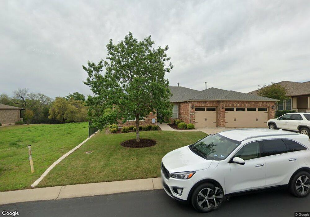
312 Davis Mountain Cir Georgetown, TX 78633
Sun City NeighborhoodEstimated Value: $568,830 - $663,000
--
Bed
1
Bath
2,428
Sq Ft
$258/Sq Ft
Est. Value
About This Home
This home is located at 312 Davis Mountain Cir, Georgetown, TX 78633 and is currently estimated at $627,208, approximately $258 per square foot. 312 Davis Mountain Cir is a home.
Ownership History
Date
Name
Owned For
Owner Type
Purchase Details
Closed on
Apr 2, 2024
Sold by
Bergevin Duane B and Eneboe Michele Bergevin
Bought by
Eneboe Michele Bergevin and Eneboe Michael K
Current Estimated Value
Purchase Details
Closed on
Feb 25, 2015
Sold by
Del Webb Texas Limited Partnership
Bought by
Eneboe Mike and Eneboe Michele
Home Financials for this Owner
Home Financials are based on the most recent Mortgage that was taken out on this home.
Original Mortgage
$351,000
Interest Rate
3.68%
Mortgage Type
New Conventional
Create a Home Valuation Report for This Property
The Home Valuation Report is an in-depth analysis detailing your home's value as well as a comparison with similar homes in the area
Home Values in the Area
Average Home Value in this Area
Purchase History
| Date | Buyer | Sale Price | Title Company |
|---|---|---|---|
| Eneboe Michele Bergevin | -- | None Listed On Document | |
| Eneboe Mike | -- | Ctc |
Source: Public Records
Mortgage History
| Date | Status | Borrower | Loan Amount |
|---|---|---|---|
| Previous Owner | Eneboe Mike | $351,000 |
Source: Public Records
Tax History Compared to Growth
Tax History
| Year | Tax Paid | Tax Assessment Tax Assessment Total Assessment is a certain percentage of the fair market value that is determined by local assessors to be the total taxable value of land and additions on the property. | Land | Improvement |
|---|---|---|---|---|
| 2025 | $5,700 | $630,499 | $114,000 | $516,499 |
| 2024 | $5,700 | $588,923 | $104,500 | $484,423 |
| 2023 | $5,571 | $573,084 | $0 | $0 |
| 2022 | $7,841 | $520,985 | $0 | $0 |
| 2021 | $10,343 | $473,623 | $88,000 | $389,853 |
| 2020 | $9,549 | $430,566 | $83,820 | $346,746 |
| 2019 | $10,079 | $440,526 | $83,460 | $357,066 |
| 2018 | $8,127 | $440,526 | $83,460 | $357,066 |
| 2017 | $9,846 | $426,302 | $78,000 | $348,302 |
| 2016 | $8,040 | $424,302 | $76,000 | $348,302 |
| 2015 | $705 | $153,764 | $56,240 | $97,524 |
| 2014 | $705 | $30,400 | $0 | $0 |
Source: Public Records
Map
Nearby Homes
- 100 Landmark Inn Ct
- 204 Cathedral Mountain Pass
- 121 Cathedral Mountain Pass
- 113 Cathedral Mountain Pass
- 608 Kite Ridge St
- 106 Ranch House Cove
- 124 Harness Ln
- 706 Kite Ridge St
- 101 Ranch House Cove
- 523 McKittrick Ridge Rd
- 226 Fairway Ridge Rd
- 115 Longhorn Trail
- 108 Egret Cove
- 110 Harness Ln
- 130 Great Frontier Dr
- 102 Harness Ln
- 111 Great Frontier Dr
- 130 Old Blue Mountain Ln
- 159 Scissortail Trail
- 914 Dome Peak Ln
- 310 Davis Mountain Cir
- 316 Davis Mountain Cir
- 308 Davis Mountain Cir
- 307 Davis Mountain Cir
- 309 Davis Mountain Cir
- 305 Davis Mountain Cir
- 102 Fort Park Cove
- 306 Davis Mountain Cir
- 314 Davis Mountain Cir
- 311 Davis Mountain Cir
- 303 Davis Mountain Cir
- 304 Davis Mountain Cir
- 104 Fort Park Cove
- 401 Davis Mountain Cir
- 301 Davis Mountain Cir
- 302 Davis Mountain Cir
- 319 Cathedral Mountain Pass
- 400 Davis Mountain Cir
- 105 Fort Park Cove
- 317 Cathedral Mountain Pass