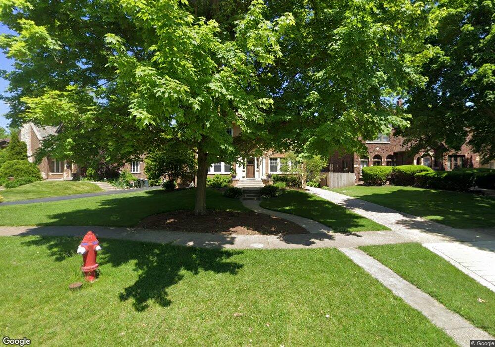
312 Eastgrove Rd Riverside, IL 60546
Estimated Value: $595,000 - $719,000
3
Beds
2
Baths
1,600
Sq Ft
$425/Sq Ft
Est. Value
About This Home
This home is located at 312 Eastgrove Rd, Riverside, IL 60546 and is currently estimated at $680,516, approximately $425 per square foot. 312 Eastgrove Rd is a home located in Cook County with nearby schools including Blythe Park Elementary School, L J Hauser Jr High School, and Riverside Brookfield High School.
Ownership History
Date
Name
Owned For
Owner Type
Purchase Details
Closed on
May 26, 2011
Sold by
Stanek Florence and Pietrzak Dolores
Bought by
Rubio Hutt D and Rubio Laura A
Current Estimated Value
Home Financials for this Owner
Home Financials are based on the most recent Mortgage that was taken out on this home.
Original Mortgage
$260,000
Outstanding Balance
$180,245
Interest Rate
4.75%
Mortgage Type
New Conventional
Estimated Equity
$500,271
Create a Home Valuation Report for This Property
The Home Valuation Report is an in-depth analysis detailing your home's value as well as a comparison with similar homes in the area
Home Values in the Area
Average Home Value in this Area
Purchase History
| Date | Buyer | Sale Price | Title Company |
|---|---|---|---|
| Rubio Hutt D | $355,000 | Cti |
Source: Public Records
Mortgage History
| Date | Status | Borrower | Loan Amount |
|---|---|---|---|
| Open | Rubio Hutt D | $260,000 |
Source: Public Records
Tax History Compared to Growth
Tax History
| Year | Tax Paid | Tax Assessment Tax Assessment Total Assessment is a certain percentage of the fair market value that is determined by local assessors to be the total taxable value of land and additions on the property. | Land | Improvement |
|---|---|---|---|---|
| 2024 | $15,254 | $51,000 | $12,454 | $38,546 |
| 2023 | $15,828 | $51,000 | $12,454 | $38,546 |
| 2022 | $15,828 | $44,743 | $10,756 | $33,987 |
| 2021 | $15,241 | $44,742 | $10,755 | $33,987 |
| 2020 | $14,823 | $44,742 | $10,755 | $33,987 |
| 2019 | $13,284 | $41,171 | $9,906 | $31,265 |
| 2018 | $12,891 | $41,171 | $9,906 | $31,265 |
| 2017 | $12,493 | $41,171 | $9,906 | $31,265 |
| 2016 | $13,122 | $39,758 | $8,491 | $31,267 |
| 2015 | $12,778 | $39,758 | $8,491 | $31,267 |
| 2014 | $12,578 | $39,758 | $8,491 | $31,267 |
| 2013 | $10,549 | $36,443 | $7,925 | $28,518 |
Source: Public Records
Map
Nearby Homes
- 339 Eastgrove Rd
- 269 Shenstone Rd
- 727 Selborne Rd
- 475 Shenstone Rd Unit 303
- 2914 Maple Ave
- 3032 Wisconsin Ave
- 472 Northgate Ct
- 562 Byrd Rd
- 3107 Wenonah Ave
- 3515 S Harlem Ave Unit 1B
- 56 Forest Ave Unit 1N
- 172 Olmsted Rd
- 3212 Clinton Ave
- 2527 Keystone Ave
- 78 Pine Ave
- 3142 Kenilworth Ave
- 2513 Keystone Ave
- 3302 Kenilworth Ave
- 6840 29th Place
- 3330 Grove Ave Unit 1S
- 316 Eastgrove Rd
- 186 N Delaplaine Rd
- 320 Eastgrove Rd
- 324 Eastgrove Rd
- 293 Longcommon Rd
- 301 Longcommon Rd
- 328 Eastgrove Rd
- 299 Longcommon Rd
- 315 Longcommon Rd
- 332 Eastgrove Rd
- 325 Eastgrove Rd
- 325 Longcommon Rd
- 197 N Delaplaine Rd
- 181 N Delaplaine Rd
- 185 N Delaplaine Rd
- 336 Eastgrove Rd
- 189 N Delaplaine Rd
- 173 N Delaplaine Rd
- 201 N Delaplaine Rd
- 333 Longcommon Rd