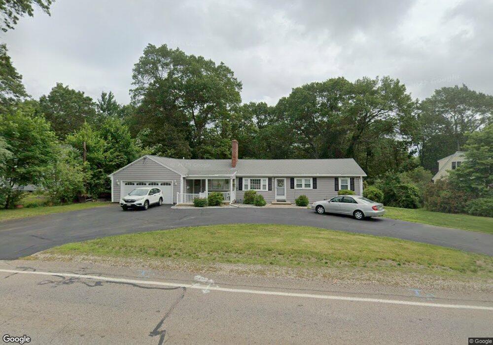
312 High Plain St Walpole, MA 02081
Estimated Value: $809,586 - $871,000
4
Beds
2
Baths
2,402
Sq Ft
$353/Sq Ft
Est. Value
About This Home
This home is located at 312 High Plain St, Walpole, MA 02081 and is currently estimated at $846,897, approximately $352 per square foot. 312 High Plain St is a home located in Norfolk County with nearby schools including Old Post Road School, Walpole Middle School, and Walpole High School.
Ownership History
Date
Name
Owned For
Owner Type
Purchase Details
Closed on
Jun 22, 1998
Sold by
Latone Lawrence S and Latone Betty S
Bought by
Somerville Robert G and Somerville Delores A
Current Estimated Value
Home Financials for this Owner
Home Financials are based on the most recent Mortgage that was taken out on this home.
Original Mortgage
$90,000
Outstanding Balance
$18,068
Interest Rate
7.09%
Mortgage Type
Purchase Money Mortgage
Estimated Equity
$828,829
Purchase Details
Closed on
Apr 29, 1994
Sold by
A&A Rt
Bought by
Latone Lawrence S and Latone Betty S
Home Financials for this Owner
Home Financials are based on the most recent Mortgage that was taken out on this home.
Original Mortgage
$164,350
Interest Rate
7.7%
Mortgage Type
Purchase Money Mortgage
Create a Home Valuation Report for This Property
The Home Valuation Report is an in-depth analysis detailing your home's value as well as a comparison with similar homes in the area
Home Values in the Area
Average Home Value in this Area
Purchase History
| Date | Buyer | Sale Price | Title Company |
|---|---|---|---|
| Somerville Robert G | $230,000 | -- | |
| Latone Lawrence S | $173,000 | -- |
Source: Public Records
Mortgage History
| Date | Status | Borrower | Loan Amount |
|---|---|---|---|
| Open | Latone Lawrence S | $90,000 | |
| Previous Owner | Latone Lawrence S | $164,350 | |
| Previous Owner | Latone Lawrence S | $90,000 |
Source: Public Records
Tax History
| Year | Tax Paid | Tax Assessment Tax Assessment Total Assessment is a certain percentage of the fair market value that is determined by local assessors to be the total taxable value of land and additions on the property. | Land | Improvement |
|---|---|---|---|---|
| 2025 | $9,195 | $716,700 | $282,900 | $433,800 |
| 2024 | $8,802 | $665,800 | $271,900 | $393,900 |
| 2023 | $8,391 | $604,100 | $236,500 | $367,600 |
| 2022 | $7,910 | $547,000 | $219,000 | $328,000 |
| 2021 | $7,393 | $498,200 | $206,600 | $291,600 |
| 2020 | $6,930 | $462,300 | $184,700 | $277,600 |
| 2019 | $6,809 | $450,900 | $177,500 | $273,400 |
| 2018 | $6,394 | $418,700 | $161,300 | $257,400 |
| 2017 | $6,209 | $405,000 | $155,100 | $249,900 |
| 2016 | $6,333 | $407,000 | $159,500 | $247,500 |
| 2015 | $5,930 | $377,700 | $135,000 | $242,700 |
| 2014 | $5,530 | $350,900 | $135,000 | $215,900 |
Source: Public Records
Map
Nearby Homes
- 1 Providence Hwy
- 1 Palace Ct
- 486 Washington St
- 363 - 367 Washington St
- Unit 11 Powder House Ln Unit 11
- 8 Powder House Ln Unit 2
- Unit 12 Powder House Ln Unit 12
- Unit 3 Powder House Ln Unit 3
- 635 Old Post Rd Unit 303
- 635 Old Post Rd Unit 302
- 635 Old Post Rd Unit 2-203
- 37 Alice Ave
- 587 Common St
- 224 School St Unit 9
- 222 School St Unit 9
- 6 Eleanor Rd
- 291 Plimpton St
- 0 U S Route 1
- 56 North St
- 881 Main St Unit 9
- 314 High Plain St
- 310 High Plain St
- 320 High Plain St
- 6 Pontiac Rd
- 317 High Plain St
- 2 Harding Rd
- 3 Harrison Ave
- 300 High Plain St
- 8 Pontiac Rd
- 4 Pontiac Rd
- 293 High Plain St
- 333 High Plain St
- 11 Barstow Rd
- 2 Barstow Rd
- 16 Harding Rd
- 164 Old Post Rd
- 290 High Plain St
- 11 Harding Rd
- 10 Pontiac Rd
- 19 Harding Rd
Your Personal Tour Guide
Ask me questions while you tour the home.