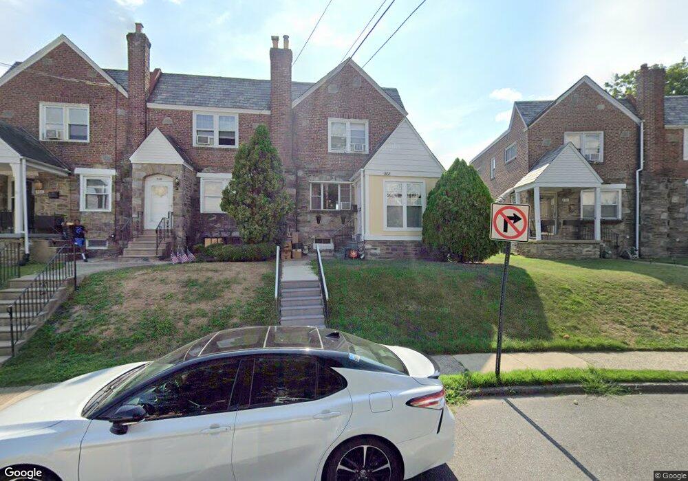
312 N Maple Ave Lansdowne, PA 19050
Estimated Value: $247,000 - $294,000
3
Beds
2
Baths
1,616
Sq Ft
$165/Sq Ft
Est. Value
About This Home
This home is located at 312 N Maple Ave, Lansdowne, PA 19050 and is currently estimated at $266,093, approximately $164 per square foot. 312 N Maple Ave is a home located in Delaware County with nearby schools including East Lansdowne Elementary School, Penn Wood Middle School, and Penn Wood High School - Cypress Street Campus.
Ownership History
Date
Name
Owned For
Owner Type
Purchase Details
Closed on
Jun 23, 1994
Sold by
Clark Demarbis N and Clark Cindi
Bought by
Sushereba Beth J
Current Estimated Value
Create a Home Valuation Report for This Property
The Home Valuation Report is an in-depth analysis detailing your home's value as well as a comparison with similar homes in the area
Home Values in the Area
Average Home Value in this Area
Purchase History
| Date | Buyer | Sale Price | Title Company |
|---|---|---|---|
| Sushereba Beth J | $95,000 | Commonwealth Land Title Ins |
Source: Public Records
Tax History
| Year | Tax Paid | Tax Assessment Tax Assessment Total Assessment is a certain percentage of the fair market value that is determined by local assessors to be the total taxable value of land and additions on the property. | Land | Improvement |
|---|---|---|---|---|
| 2025 | $5,795 | $140,740 | $43,150 | $97,590 |
| 2024 | $5,795 | $140,740 | $43,150 | $97,590 |
| 2023 | $5,524 | $140,740 | $43,150 | $97,590 |
| 2022 | $5,416 | $140,740 | $43,150 | $97,590 |
| 2021 | $8,133 | $140,740 | $43,150 | $97,590 |
| 2020 | $5,758 | $87,800 | $31,160 | $56,640 |
| 2019 | $5,662 | $87,800 | $31,160 | $56,640 |
| 2018 | $5,564 | $87,800 | $0 | $0 |
| 2017 | $5,442 | $87,800 | $0 | $0 |
| 2016 | $482 | $87,800 | $0 | $0 |
| 2015 | $482 | $87,800 | $0 | $0 |
| 2014 | $482 | $87,800 | $0 | $0 |
Source: Public Records
Map
Nearby Homes
- 291 N Wycombe Ave
- 360 Huntley Rd
- 7303 Sherbrook Blvd
- 247 Coverly Rd
- 243 Coverly Rd
- 291 Jackson Ave
- 91 Lamport Rd
- 7265 Calvin Rd
- 7261 Calvin Rd
- 319 Avon Rd
- 212 N Maple Ave
- 7273 Guilford Rd
- 210 Wabash Ave
- 7283 Bradford Rd
- 305 Margate Rd
- 311 Margate Rd
- 178 N Union Ave
- 329 Sanford Rd
- 432 Grace Rd
- 244 Wembly Rd
- 310 N Maple Ave
- 308 N Maple Ave
- 314 N Maple Ave
- 177 E Plumstead Ave
- 179 E Plumstead Ave
- 175 E Plumstead Ave
- 316 N Maple Ave
- 181 E Plumstead Ave
- 173 E Plumstead Ave
- 305 Barker Ave
- 307 Barker Ave
- 303 Barker Ave
- 171 E Plumstead Ave
- 309 Barker Ave
- 169 E Plumstead Ave
- 301 Barker Ave
- 311 Barker Ave
- 318 N Maple Ave
- 167 E Plumstead Ave
- 313 Barker Ave
Your Personal Tour Guide
Ask me questions while you tour the home.