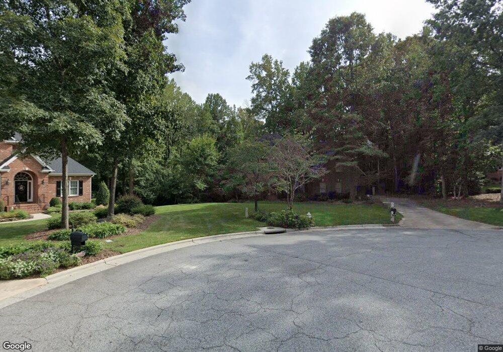
312 Pearce Dr Jamestown, NC 27282
Estimated Value: $538,000 - $614,000
3
Beds
4
Baths
3,313
Sq Ft
$174/Sq Ft
Est. Value
About This Home
This home is located at 312 Pearce Dr, Jamestown, NC 27282 and is currently estimated at $577,896, approximately $174 per square foot. 312 Pearce Dr is a home located in Guilford County with nearby schools including Millis Road Elementary School, Jamestown Middle School, and Ragsdale High School.
Ownership History
Date
Name
Owned For
Owner Type
Purchase Details
Closed on
Feb 25, 1999
Sold by
D Stone Builders Inc
Bought by
Thomas Brock and Thomas Tanya Vance
Current Estimated Value
Home Financials for this Owner
Home Financials are based on the most recent Mortgage that was taken out on this home.
Original Mortgage
$240,000
Outstanding Balance
$58,531
Interest Rate
6.84%
Estimated Equity
$519,365
Create a Home Valuation Report for This Property
The Home Valuation Report is an in-depth analysis detailing your home's value as well as a comparison with similar homes in the area
Home Values in the Area
Average Home Value in this Area
Purchase History
| Date | Buyer | Sale Price | Title Company |
|---|---|---|---|
| Thomas Brock | $311,000 | -- |
Source: Public Records
Mortgage History
| Date | Status | Borrower | Loan Amount |
|---|---|---|---|
| Open | Thomas Brock | $240,000 |
Source: Public Records
Tax History Compared to Growth
Tax History
| Year | Tax Paid | Tax Assessment Tax Assessment Total Assessment is a certain percentage of the fair market value that is determined by local assessors to be the total taxable value of land and additions on the property. | Land | Improvement |
|---|---|---|---|---|
| 2025 | $6,014 | $443,700 | $81,300 | $362,400 |
| 2024 | $6,014 | $443,700 | $81,300 | $362,400 |
| 2023 | $6,014 | $443,700 | $81,300 | $362,400 |
| 2022 | $5,393 | $443,700 | $81,300 | $362,400 |
| 2021 | $4,878 | $401,300 | $81,300 | $320,000 |
| 2020 | $4,878 | $401,300 | $81,300 | $320,000 |
| 2019 | $4,810 | $401,300 | $0 | $0 |
| 2018 | $4,786 | $401,300 | $0 | $0 |
| 2017 | $4,810 | $401,300 | $0 | $0 |
| 2016 | $4,662 | $385,300 | $0 | $0 |
| 2015 | $4,681 | $385,300 | $0 | $0 |
| 2014 | $4,720 | $385,300 | $0 | $0 |
Source: Public Records
Map
Nearby Homes
- 5 Langholm Ct
- 107 Brookberry Dr
- 120 Brookberry Dr
- 101 Byrnwood Dr
- 3805 Creek Point Way
- WILMINGTON Plan at Kinsley - The Preserve
- PENWELL Plan at Kinsley - The Preserve
- WINSTON Plan at Kinsley - The Preserve
- HAYDEN Plan at Kinsley - The Preserve
- SAVANNAH Plan at Kinsley - The Meadows
- COLUMBIA Plan at Kinsley - The Preserve
- LINVILLE Plan at Kinsley - The Meadows
- 5420 Whitley Way
- 2009 Kildare Woods Dr
- 200 Oakdale Forest Ct Unit Lot 1
- 200 Oakdale Forest Ct
- 204 Oakdale Forest Ct Unit Lot 3
- 204 Oakdale Forest Ct
- 206 Oakdale Forest Ct
- 206 Oakdale Forest Ct Unit Lot 4