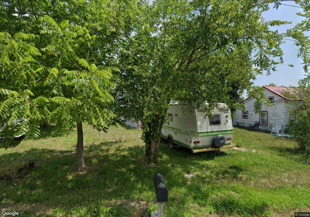
312 S Chestnut St Richland, MO 65556
Estimated Value: $123,495 - $156,000
--
Bed
1
Bath
1,741
Sq Ft
$78/Sq Ft
Est. Value
About This Home
This home is located at 312 S Chestnut St, Richland, MO 65556 and is currently estimated at $135,874, approximately $78 per square foot. 312 S Chestnut St is a home with nearby schools including Richland Elementary School, Richland Jr. High School, and Richland High School.
Ownership History
Date
Name
Owned For
Owner Type
Purchase Details
Closed on
Mar 2, 2018
Sold by
Perry Kassandra and Perry George
Bought by
Perry Kassandra
Current Estimated Value
Purchase Details
Closed on
Jul 25, 2014
Sold by
Joe H Joe H and Boren Joe H
Bought by
Perez Kassandra
Purchase Details
Closed on
Apr 5, 2008
Sold by
Maness James Weldon
Bought by
Boren Joel H and Boren Joel H
Home Financials for this Owner
Home Financials are based on the most recent Mortgage that was taken out on this home.
Original Mortgage
$12,600
Interest Rate
7.5%
Mortgage Type
Future Advance Clause Open End Mortgage
Create a Home Valuation Report for This Property
The Home Valuation Report is an in-depth analysis detailing your home's value as well as a comparison with similar homes in the area
Home Values in the Area
Average Home Value in this Area
Purchase History
| Date | Buyer | Sale Price | Title Company |
|---|---|---|---|
| Perry Kassandra | -- | -- | |
| Perez Kassandra | -- | -- | |
| Boren Joel H | -- | None Available |
Source: Public Records
Mortgage History
| Date | Status | Borrower | Loan Amount |
|---|---|---|---|
| Previous Owner | Boren Joel H | $12,600 |
Source: Public Records
Tax History Compared to Growth
Tax History
| Year | Tax Paid | Tax Assessment Tax Assessment Total Assessment is a certain percentage of the fair market value that is determined by local assessors to be the total taxable value of land and additions on the property. | Land | Improvement |
|---|---|---|---|---|
| 2024 | $463 | $10,729 | $1,311 | $9,418 |
| 2023 | $461 | $10,729 | $1,311 | $9,418 |
| 2022 | $451 | $10,729 | $1,311 | $9,418 |
| 2021 | $455 | $10,729 | $1,311 | $9,418 |
| 2020 | $439 | $10,281 | $0 | $0 |
| 2019 | $438 | $10,281 | $0 | $0 |
| 2018 | $112 | $2,641 | $0 | $0 |
| 2017 | $112 | $4,672 | $0 | $0 |
| 2016 | $112 | $2,640 | $0 | $0 |
| 2015 | -- | $1,750 | $0 | $0 |
| 2014 | $82 | $2,640 | $0 | $0 |
Source: Public Records
Map
Nearby Homes
- 23013 Rock Bluff Dr
- 23288 Rock Bluff Dr
- 200 Mildred St
- 218 Francis St
- 504 N Pine St
- 810 Mildred St
- 304 Warren St
- 34990 S Highway 133
- 104 E Jefferson Ave
- 800 Hillhouse Rd
- 712 Mcclain St
- 804 E Main St
- 24939 Storm Break Dr
- 22798 River View Dr
- 26287 Radcliff Dr
- 30131 Ranch Ln
- King Rd
- 6203 Shepherd Rd
- 0 Rochester Rd Unit 23885013
- 0 Rochester Rd Unit MIS25040527
- 307 W Main St
- 307 W Main St
- 315 W Main St
- 307 W Main St
- 305 W Main St
- 307 W Main St Unit A & B
- 112 W Pulaski St
- 311 S Chestnut St
- 115 W Pulaski St
- 208 W Pulaski St
- 301 S Chestnut St
- 0 W Pulaski Ave
- 301 N Chestnut St
- 209 W Pulaski St
- 211 W Pulaski St
- 209 W Main St
- 212 W Pulaski Ave
- 109 Texas Ave
- 0 Pulaski Unit 14061961
- 0 Pulaski Unit 15017639