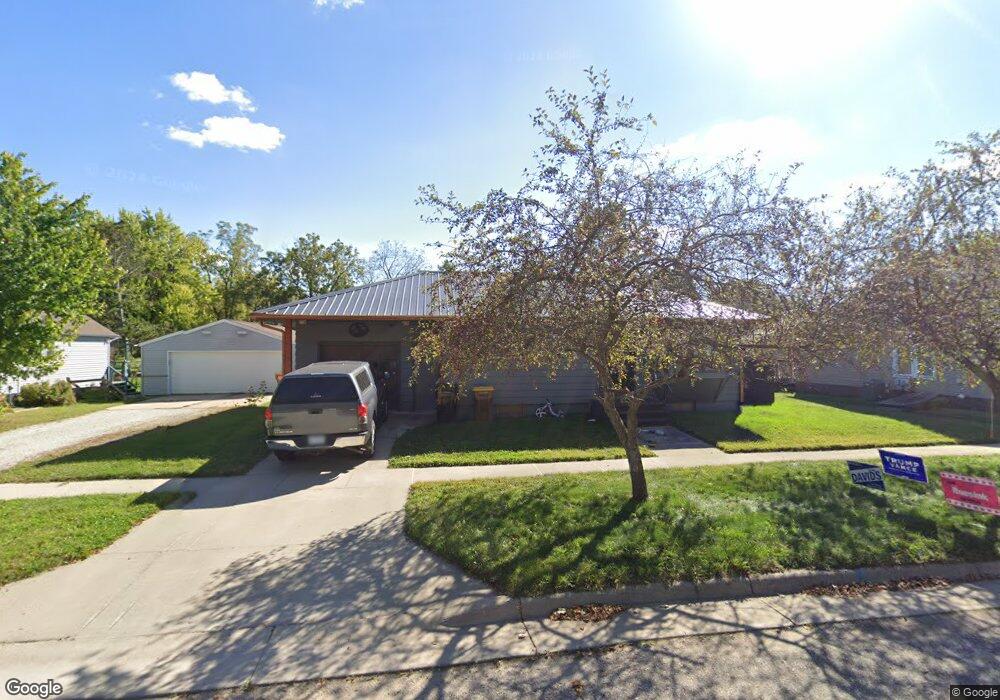
312 W Main St Spring Valley, MN 55975
Estimated Value: $126,000 - $156,000
2
Beds
1
Bath
832
Sq Ft
$174/Sq Ft
Est. Value
About This Home
This home is located at 312 W Main St, Spring Valley, MN 55975 and is currently estimated at $144,588, approximately $173 per square foot. 312 W Main St is a home located in Fillmore County with nearby schools including Kingsland Elementary School, Kingsland Middle School, and Kingsland Junior/Senior High School.
Ownership History
Date
Name
Owned For
Owner Type
Purchase Details
Closed on
Jul 30, 2021
Sold by
Sather Richard R
Bought by
Sather Cory D and Sather Michelle L
Current Estimated Value
Home Financials for this Owner
Home Financials are based on the most recent Mortgage that was taken out on this home.
Original Mortgage
$63,050
Outstanding Balance
$57,417
Interest Rate
3%
Mortgage Type
Purchase Money Mortgage
Estimated Equity
$87,171
Purchase Details
Closed on
Sep 21, 2005
Sold by
Leibold Jeffrey L and Leibold Julie K
Bought by
Sather Richard R
Home Financials for this Owner
Home Financials are based on the most recent Mortgage that was taken out on this home.
Original Mortgage
$70,100
Interest Rate
6.01%
Mortgage Type
New Conventional
Create a Home Valuation Report for This Property
The Home Valuation Report is an in-depth analysis detailing your home's value as well as a comparison with similar homes in the area
Purchase History
| Date | Buyer | Sale Price | Title Company |
|---|---|---|---|
| Sather Cory D | $65,000 | None Available | |
| Sather Richard R | $77,900 | None Available | |
| Sather Cory Cory | $65,000 | -- |
Source: Public Records
Mortgage History
| Date | Status | Borrower | Loan Amount |
|---|---|---|---|
| Open | Sather Cory D | $63,050 | |
| Previous Owner | Sather Richard R | $70,100 | |
| Closed | Sather Cory Cory | $65,000 |
Source: Public Records
Tax History Compared to Growth
Tax History
| Year | Tax Paid | Tax Assessment Tax Assessment Total Assessment is a certain percentage of the fair market value that is determined by local assessors to be the total taxable value of land and additions on the property. | Land | Improvement |
|---|---|---|---|---|
| 2025 | $1,312 | $118,600 | $20,800 | $97,800 |
| 2024 | $1,312 | $106,200 | $20,800 | $85,400 |
| 2023 | $1,238 | $106,200 | $20,800 | $85,400 |
| 2022 | $1,238 | $95,000 | $20,800 | $74,200 |
| 2021 | $1,238 | $93,000 | $14,800 | $78,200 |
| 2020 | $1,226 | $93,000 | $14,800 | $78,200 |
| 2019 | $946 | $81,700 | $14,800 | $66,900 |
| 2018 | $762 | $81,700 | $14,800 | $66,900 |
| 2017 | -- | $71,400 | $14,800 | $56,600 |
| 2016 | $676 | $69,600 | $14,800 | $54,800 |
| 2015 | $704 | $38,900 | $8,871 | $30,029 |
| 2014 | $704 | $38,900 | $8,871 | $30,029 |
| 2013 | $704 | $40,300 | $8,876 | $31,424 |
Source: Public Records
Map
Nearby Homes
- 313 N Hudson Ave
- 209 N Section Ave
- 321 N Section Ave
- 528 N Broadway St
- 517 Warren Ave
- 409 Center Ave
- 505 E Farmer St
- XXX Sata Dr
- 113 E Fairview St
- XXX 256th St
- xxx Highway 63
- 79275 267th St
- 77226 230th St
- 204 Diamond Ct
- 203 Diamond Ct
- 205 Diamond Ct
- 206 Diamond Ct
- 111 Carimona St W
- 16416 County 14
- 200 Diamond Ct
- 318 W Main St
- 308 W Main St
- 313 W Main St
- 213 S Huron Ave
- 313 W Main St
- 300 W Main St
- 309 W Main St
- 305 W Main St
- 112 S Hudson Ave
- 200 S Huron Ave
- 116 S Huron Ave
- 108 S Hudson Ave
- 212 S Hudson Ave
- 312 W Courtland St
- 112 S Huron Ave
- 318 W Courtland St
- 308 W Courtland St
- 212 212 Hudson-Avenue-s
- 212 W Main St
- 208 S Huron Ave
