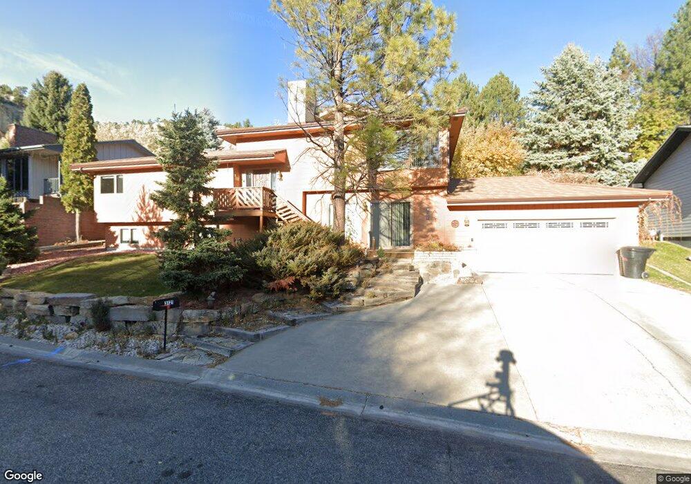
3121 Forsythia Blvd Billings, MT 59102
North Central Billings NeighborhoodEstimated Value: $417,000 - $480,000
3
Beds
3
Baths
1,598
Sq Ft
$284/Sq Ft
Est. Value
About This Home
This home is located at 3121 Forsythia Blvd, Billings, MT 59102 and is currently estimated at $454,265, approximately $284 per square foot. 3121 Forsythia Blvd is a home located in Yellowstone County with nearby schools including Poly Drive School, Will James Junior High School, and Billings Senior High School.
Ownership History
Date
Name
Owned For
Owner Type
Purchase Details
Closed on
Jun 21, 2010
Sold by
Murry Margaret A and Oakland Margaret A
Bought by
Murry William J and Murry Margaret A
Current Estimated Value
Home Financials for this Owner
Home Financials are based on the most recent Mortgage that was taken out on this home.
Original Mortgage
$110,000
Interest Rate
4.91%
Mortgage Type
New Conventional
Create a Home Valuation Report for This Property
The Home Valuation Report is an in-depth analysis detailing your home's value as well as a comparison with similar homes in the area
Home Values in the Area
Average Home Value in this Area
Purchase History
| Date | Buyer | Sale Price | Title Company |
|---|---|---|---|
| Murry William J | -- | St |
Source: Public Records
Mortgage History
| Date | Status | Borrower | Loan Amount |
|---|---|---|---|
| Previous Owner | Murry William J | $110,000 |
Source: Public Records
Tax History Compared to Growth
Tax History
| Year | Tax Paid | Tax Assessment Tax Assessment Total Assessment is a certain percentage of the fair market value that is determined by local assessors to be the total taxable value of land and additions on the property. | Land | Improvement |
|---|---|---|---|---|
| 2025 | $4,079 | $460,600 | $85,720 | $374,880 |
| 2024 | $4,079 | $431,400 | $81,918 | $349,482 |
| 2023 | $4,046 | $429,100 | $81,918 | $347,182 |
| 2022 | $3,398 | $315,000 | $64,863 | $250,137 |
| 2021 | $3,233 | $315,000 | $0 | $0 |
| 2020 | $2,997 | $278,500 | $0 | $0 |
| 2019 | $2,859 | $278,500 | $0 | $0 |
| 2018 | $2,780 | $265,700 | $0 | $0 |
| 2017 | $2,700 | $265,700 | $0 | $0 |
| 2016 | $2,677 | $267,100 | $0 | $0 |
| 2015 | $2,617 | $267,100 | $0 | $0 |
| 2014 | $2,460 | $133,507 | $0 | $0 |
Source: Public Records
Map
Nearby Homes
- 3106 Forsythia Blvd
- 3311 Harlou Dr
- 3065 Gregory Dr W
- 2940 Us Highway 3
- 2815 Palm Dr
- 3135 Sycamore Ln
- 2737 Gregory Dr N
- 2748 Palm Dr
- 2736 Palm Dr
- 3237 Rimrock Rd
- 2912 Stinson Ave
- 2717 Patricia Ln
- 2730 Gregory Dr S
- 3005 Edmond St
- 3313 Rimrock Rd
- 2825 Racquet Dr Unit 7
- 3107 Poly Dr
- 3332 Rimrock Rd
- 2646 Rimrock Rd
- 2614 Silver Blvd
- 3125 Forsythia Blvd
- 3117 Forsythia Blvd
- 3218 Durland Dr
- 3222 Durland Dr
- 3118 Forsythia Blvd
- 3122 Forsythia Blvd
- 3214 Durland Dr
- 3226 Durland Dr
- 3129 Forsythia Blvd
- 3115 Forsythia Blvd
- 3126 Forsythia Blvd
- 3114 Forsythia Blvd
- 3230 Durland Dr
- 3210 Durland Dr
- 3113 Zinnia Dr
- 3221 Durland Dr
- 3131 Forsythia Blvd
- 3130 Forsythia Blvd
- 3217 Durland Dr
- 3043 Bartonia Dr