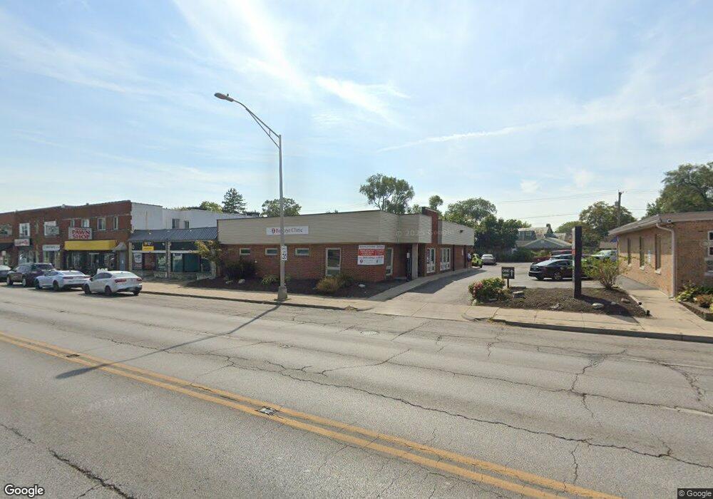
3121 W Broad St Columbus, OH 43204
Westgate NeighborhoodEstimated Value: $369,059
Studio
--
Bath
3,415
Sq Ft
$108/Sq Ft
Est. Value
About This Home
This home is located at 3121 W Broad St, Columbus, OH 43204 and is currently estimated at $369,059, approximately $108 per square foot. 3121 W Broad St is a home located in Franklin County with nearby schools including Westgate Alternative Elementary School, Westmoor Middle School, and West High School.
Ownership History
Date
Name
Owned For
Owner Type
Purchase Details
Closed on
Jul 11, 2022
Sold by
Sinha Manoj
Bought by
3121 W Broad Llc
Current Estimated Value
Purchase Details
Closed on
Feb 18, 2022
Sold by
Shelter Outreach Services Inc
Bought by
Sinha Manoj
Purchase Details
Closed on
Feb 11, 2022
Sold by
Shelter Outreach Services Inc
Bought by
Sinha Manoj
Purchase Details
Closed on
Oct 10, 2013
Sold by
Mokhtari Ali
Bought by
Shelter Outreach Services Of Ohio Inc
Purchase Details
Closed on
Nov 1, 1988
Purchase Details
Closed on
Oct 28, 1987
Create a Home Valuation Report for This Property
The Home Valuation Report is an in-depth analysis detailing your home's value as well as a comparison with similar homes in the area
Home Values in the Area
Average Home Value in this Area
Purchase History
| Date | Buyer | Sale Price | Title Company |
|---|---|---|---|
| 3121 W Broad Llc | -- | Whitaker Roger T | |
| Sinha Manoj | $305,000 | Tribby & Tribby Lpa | |
| Sinha Manoj | $305,000 | Tribby & Tribby Lpa | |
| Shelter Outreach Services Of Ohio Inc | $236,000 | Talon Title | |
| -- | $77,500 | -- | |
| -- | $100,000 | -- |
Source: Public Records
Tax History
| Year | Tax Paid | Tax Assessment Tax Assessment Total Assessment is a certain percentage of the fair market value that is determined by local assessors to be the total taxable value of land and additions on the property. | Land | Improvement |
|---|---|---|---|---|
| 2025 | $10,566 | $142,350 | $33,530 | $108,820 |
| 2024 | $10,566 | $142,350 | $33,530 | $108,820 |
| 2023 | $10,398 | $142,350 | $33,530 | $108,820 |
| 2022 | $0 | $134,060 | $28,950 | $105,110 |
| 2021 | $0 | $134,060 | $28,950 | $105,110 |
| 2020 | $0 | $134,060 | $28,950 | $105,110 |
| 2019 | $4,525 | $116,560 | $25,170 | $91,390 |
| 2018 | $4,525 | $116,560 | $25,170 | $91,390 |
| 2017 | $0 | $116,560 | $25,170 | $91,390 |
| 2016 | $9,748 | $112,010 | $25,170 | $86,840 |
| 2015 | $9,050 | $112,010 | $25,170 | $86,840 |
| 2014 | $9,046 | $112,010 | $25,170 | $86,840 |
| 2013 | $4,482 | $112,000 | $25,165 | $86,835 |
Source: Public Records
Map
Nearby Homes
- 3096 Ellis Place
- 28 S Westgate Ave
- 94 Orel Ave
- 181 S Westgate Ave
- 75 N Huron Ave
- 207 S Huron Ave
- 160 N Sylvan Ave
- 140 Guernsey Ave
- 267 S Westgate Ave
- 89 N Roys Ave
- 227 S Sylvan Ave
- 253 Powhatan Ave
- 0 S Brinker Ave
- 65 N Chase Ave
- 139 Demorest Ave
- 162 S Roys Ave
- 2932 Fremont St
- 261 S Chase Ave
- 65 S Hague Ave
- 327 S Chase Ave
- 3115 W Broad St
- 3131 W Broad St
- 3137 W Broad St
- 3103 W Broad St Unit 105
- 3103 W Broad St
- 3128 Ellis Place
- 30 S Brinker Ave
- 3120 Ellis Place
- 3114 Ellis Place
- 3087 W Broad St
- 3108 Ellis Place
- 3089 W Broad St
- 3102 Ellis Place
- 3085 W Broad St
- 25 S Brinker Ave
- 33 S Brinker Ave
- 12 N Westgate Ave Unit 25
- 26 N Brinker Ave
- 3079 W Broad St
- 3073 W Broad St Unit 79