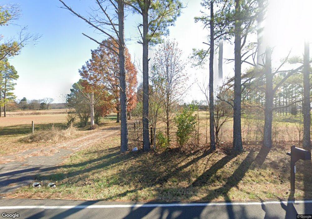
3125 Wilson Overall Rd Murfreesboro, TN 37127
Estimated Value: $545,838 - $655,000
--
Bed
2
Baths
2,288
Sq Ft
$260/Sq Ft
Est. Value
About This Home
This home is located at 3125 Wilson Overall Rd, Murfreesboro, TN 37127 and is currently estimated at $595,460, approximately $260 per square foot. 3125 Wilson Overall Rd is a home located in Rutherford County with nearby schools including Buchanan Elementary School, Whitworth-Buchanan Middle School, and Riverdale High School.
Ownership History
Date
Name
Owned For
Owner Type
Purchase Details
Closed on
Jul 8, 2011
Sold by
Singleton Robert
Bought by
Hammett David A and Fensky Connie S
Current Estimated Value
Home Financials for this Owner
Home Financials are based on the most recent Mortgage that was taken out on this home.
Original Mortgage
$194,400
Outstanding Balance
$133,805
Interest Rate
4.52%
Mortgage Type
Commercial
Estimated Equity
$461,655
Purchase Details
Closed on
Jun 11, 2007
Sold by
Jones Gregory W
Bought by
Singleton and Tina
Purchase Details
Closed on
Aug 16, 1999
Sold by
Cooper Joseph C
Bought by
Jones Gregory W and Jones Alicia R
Create a Home Valuation Report for This Property
The Home Valuation Report is an in-depth analysis detailing your home's value as well as a comparison with similar homes in the area
Home Values in the Area
Average Home Value in this Area
Purchase History
| Date | Buyer | Sale Price | Title Company |
|---|---|---|---|
| Hammett David A | $243,000 | -- | |
| Singleton | $261,900 | -- | |
| Jones Gregory W | $150,000 | -- |
Source: Public Records
Mortgage History
| Date | Status | Borrower | Loan Amount |
|---|---|---|---|
| Open | Hammett David A | $194,400 |
Source: Public Records
Tax History Compared to Growth
Tax History
| Year | Tax Paid | Tax Assessment Tax Assessment Total Assessment is a certain percentage of the fair market value that is determined by local assessors to be the total taxable value of land and additions on the property. | Land | Improvement |
|---|---|---|---|---|
| 2025 | $2,050 | $109,250 | $27,575 | $81,675 |
| 2024 | $2,050 | $109,250 | $27,575 | $81,675 |
| 2023 | $2,050 | $109,250 | $27,575 | $81,675 |
| 2022 | $1,752 | $108,400 | $27,575 | $80,825 |
| 2021 | $1,557 | $74,150 | $17,750 | $56,400 |
| 2020 | $1,646 | $74,150 | $17,750 | $56,400 |
| 2019 | $1,646 | $74,150 | $17,750 | $56,400 |
Source: Public Records
Map
Nearby Homes
- 0 Wilson Overall Rd
- 2648 Wilson Overall Rd
- 4873 Bradyville Pike
- 1805 Dilton Mankin Rd
- 223 Homewood Dr
- 4316 Singleton Dr
- 4282 Lytle Creek Dr
- 0 Manus Rd Unit RTC2816154
- 110 Inglewood Ct
- 1222 Euclid
- 1209 Euclid
- 1215 Euclid
- 1203 Euclid
- 4807 Lytle Creek Rd
- 6381 Manus Rd
- 1219 Euclid Dr
- 1227 Euclid Dr
- 1102 Rolinda Ct
- 4380 Veals Rd
- 4389 Veals Rd
- 3120 Wilson Overall Rd
- 2951 Wilson Overall Rd
- 3268 Wilson Overall Rd
- 3319 Lytle Creek Rd
- 2954 Wilson Overall Rd
- 3310 Wilson Overall Rd
- 2935 Wilson Overall Rd
- 2628 Wilson Overall Rd
- 2948 Wilson Overall Rd
- 2960 Wilson Overall Rd
- 2851 Wilson Overall Rd
- 3334 Wilson Overall Rd
- 3427 Lytle Creek Rd
- 2801 Wilson Overall Rd
- 3390 Wilson Overall Rd
- 2767 Wilson Overall Rd
- 3389 Wilson Overall Rd
- 3410 Wilson Overall Rd
- 3539 Lytle Creek Rd
- 2761 Wilson Overall Rd
