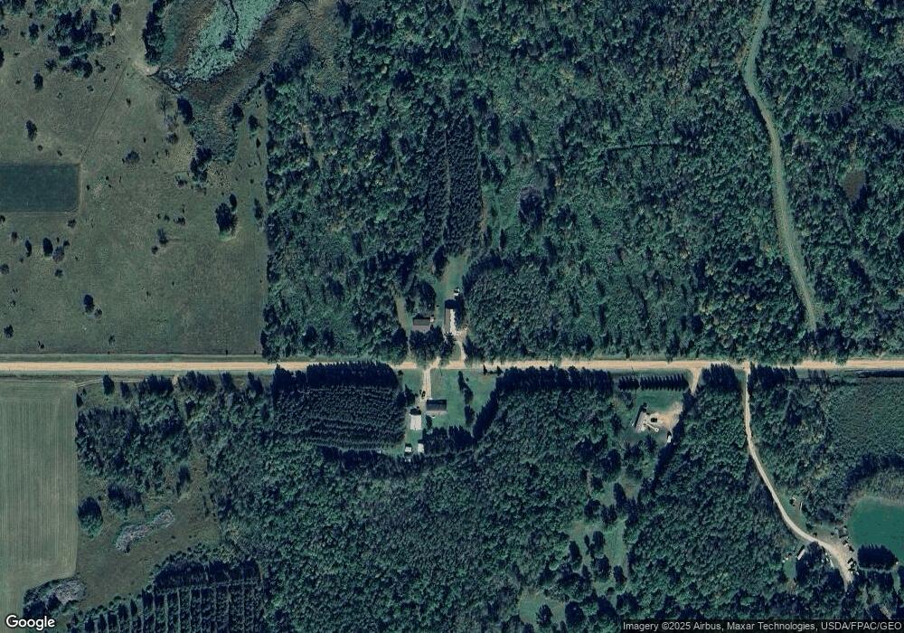
31266 470th St Cass Lake, MN 56633
Estimated Value: $297,000 - $333,000
--
Bed
2
Baths
1,288
Sq Ft
$246/Sq Ft
Est. Value
About This Home
This home is located at 31266 470th St, Cass Lake, MN 56633 and is currently estimated at $316,363, approximately $245 per square foot. 31266 470th St is a home located in Hubbard County with nearby schools including Cass Lake-Bena Elementary School, Cass Lake-Bena Middle School, and Cass Lake-Bena Area Secondary School.
Ownership History
Date
Name
Owned For
Owner Type
Purchase Details
Closed on
Apr 29, 2021
Sold by
Norenberg Joel G and Norenberg Pamela A
Bought by
Norenberg Drew C
Current Estimated Value
Home Financials for this Owner
Home Financials are based on the most recent Mortgage that was taken out on this home.
Original Mortgage
$130,000
Outstanding Balance
$117,812
Interest Rate
3.1%
Mortgage Type
Purchase Money Mortgage
Estimated Equity
$198,551
Create a Home Valuation Report for This Property
The Home Valuation Report is an in-depth analysis detailing your home's value as well as a comparison with similar homes in the area
Home Values in the Area
Average Home Value in this Area
Purchase History
| Date | Buyer | Sale Price | Title Company |
|---|---|---|---|
| Norenberg Drew C | $225,000 | None Available |
Source: Public Records
Mortgage History
| Date | Status | Borrower | Loan Amount |
|---|---|---|---|
| Open | Norenberg Drew C | $130,000 |
Source: Public Records
Tax History Compared to Growth
Tax History
| Year | Tax Paid | Tax Assessment Tax Assessment Total Assessment is a certain percentage of the fair market value that is determined by local assessors to be the total taxable value of land and additions on the property. | Land | Improvement |
|---|---|---|---|---|
| 2024 | $3,401 | $332,500 | $108,100 | $224,400 |
| 2023 | $3,952 | $316,300 | $90,400 | $225,900 |
| 2022 | $2,550 | $316,400 | $86,100 | $230,300 |
| 2021 | $2,396 | $241,600 | $77,900 | $163,700 |
| 2020 | $2,234 | $201,700 | $70,535 | $131,165 |
| 2019 | $2,020 | $182,900 | $68,209 | $114,691 |
| 2018 | $1,956 | $166,800 | $60,542 | $106,258 |
| 2016 | $1,676 | $157,300 | $53,585 | $103,715 |
| 2015 | $1,532 | $158,400 | $56,424 | $101,976 |
| 2014 | $1,436 | $151,300 | $59,354 | $91,946 |
Source: Public Records
Map
Nearby Homes
- TBD 480th St
- 6608 148th St NW Unit LotWP001
- 6608 148th St NW
- TBD 279th Ave
- 30945 Vahalla Ln
- 28682 480th St
- Tbd 279th Ave
- 16029 71st Ave NW
- 28816 450th St
- 13255 Pike Bay Loop NW
- TBD Wildwood Rd
- 31423 Wejack Rd
- 31444 Wejack Rd
- 46962 parcel B 269th Ave
- 47225 269th Ave
- 32597 Quail Ln
- 51278 Wildview Ln
- 44272 Rail Rd
- 28558 Us 2
- 42149 County 45
- 31251 470th St
- 0 Silverbrook Dr Unit 4033699
- 0 Silver Brook Dr Unit 5583841
- 0 Silver Brook Dr Unit 5583840
- XXX Silver Brook Dr
- Tract 8 Silver Brook Dr
- 31427 Necktie River Rd
- TBD Silver Brook Dr
- 31xxx Necktie River Rd
- 0 Necktie River Rd
- 0 Necktie River Rd
- 0 309th Ave
- TBD 309th Ave
- 47294 309th Ave
- 31626 470th St
- 0 Silver Brook Dr Unit 5586125
- 47163 309th Ave
- TBD Silver Brook Dr
- 0 309th Ave
- 46555 309th Ave