313 Bluff Rd Loretto, TN 38469
Estimated Value: $252,000 - $648,000
Studio
2
Baths
1,701
Sq Ft
$233/Sq Ft
Est. Value
About This Home
This home is located at 313 Bluff Rd, Loretto, TN 38469 and is currently estimated at $396,610, approximately $233 per square foot. 313 Bluff Rd is a home located in Lawrence County with nearby schools including South Lawrence Elementary School, Lawrenceburg Public Elementary School, and Ingram Sowell Elementary School.
Ownership History
Date
Name
Owned For
Owner Type
Purchase Details
Closed on
Mar 1, 2005
Sold by
Adams Michael A
Bought by
Daniel Blalock Shirley
Current Estimated Value
Purchase Details
Closed on
Feb 28, 2005
Bought by
Blalock Shirley Daniel
Purchase Details
Closed on
Feb 13, 2004
Bought by
Adams Michael A
Purchase Details
Closed on
Dec 30, 1998
Sold by
Wayne Daniel
Bought by
Wayne Wilson
Purchase Details
Closed on
Feb 18, 1998
Bought by
Daniel Wayne and Daniel Donna
Create a Home Valuation Report for This Property
The Home Valuation Report is an in-depth analysis detailing your home's value as well as a comparison with similar homes in the area
Purchase History
| Date | Buyer | Sale Price | Title Company |
|---|---|---|---|
| Daniel Blalock Shirley | $102,184 | -- | |
| Blalock Shirley Daniel | $102,200 | -- | |
| Adams Michael A | $50,000 | -- | |
| Wayne Wilson | $2,000 | -- | |
| Daniel Wayne | $29,000 | -- |
Source: Public Records
Tax History Compared to Growth
Tax History
| Year | Tax Paid | Tax Assessment Tax Assessment Total Assessment is a certain percentage of the fair market value that is determined by local assessors to be the total taxable value of land and additions on the property. | Land | Improvement |
|---|---|---|---|---|
| 2025 | $1,653 | $82,225 | $0 | $0 |
| 2024 | $1,653 | $82,225 | $7,775 | $74,450 |
| 2023 | $1,653 | $82,225 | $7,775 | $74,450 |
| 2022 | $1,653 | $82,225 | $7,775 | $74,450 |
| 2021 | $1,451 | $49,050 | $7,075 | $41,975 |
| 2020 | $1,451 | $49,050 | $7,075 | $41,975 |
| 2019 | $1,451 | $49,050 | $7,075 | $41,975 |
| 2018 | $1,451 | $49,050 | $7,075 | $41,975 |
| 2017 | $1,451 | $49,050 | $7,075 | $41,975 |
| 2016 | $1,451 | $49,050 | $7,075 | $41,975 |
| 2015 | $1,343 | $49,050 | $7,075 | $41,975 |
| 2014 | $1,344 | $49,075 | $6,325 | $42,750 |
Source: Public Records
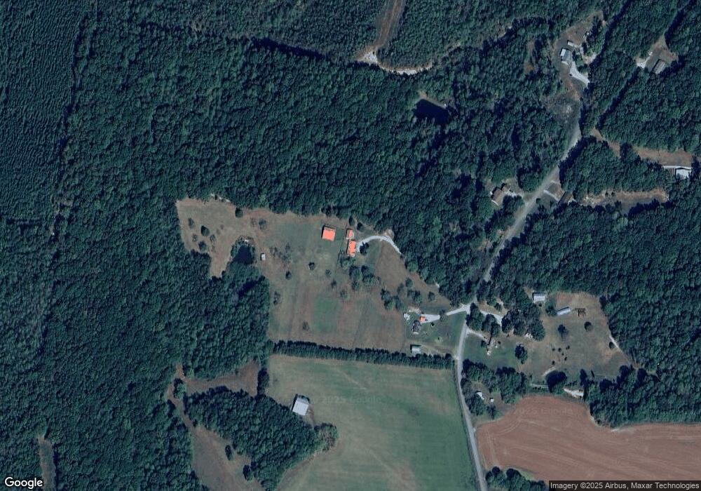
Map
Nearby Homes
- 0 Bluff Rd Unit RTC3059638
- 516 Barney Ln
- 389 Busby Rd
- 52 Lindsey Rd
- 2 Hardin Loop
- 538 Mount Nebo Rd
- 110 Kitty Meyer Ln
- 381 Busby Rd
- 617 2nd Ave S
- 530 S Military St
- 322 Creekside Ln
- 194 Creekside Ln
- 402 W Commerce St
- 2034 Tennessee St
- 24 Henkle Ln
- 0 Henkle Rd Unit RTC2592694
- 163 Rigling Rd
- 211 Church St
- 130 Water Tower Rd
- 109 W Cherry St