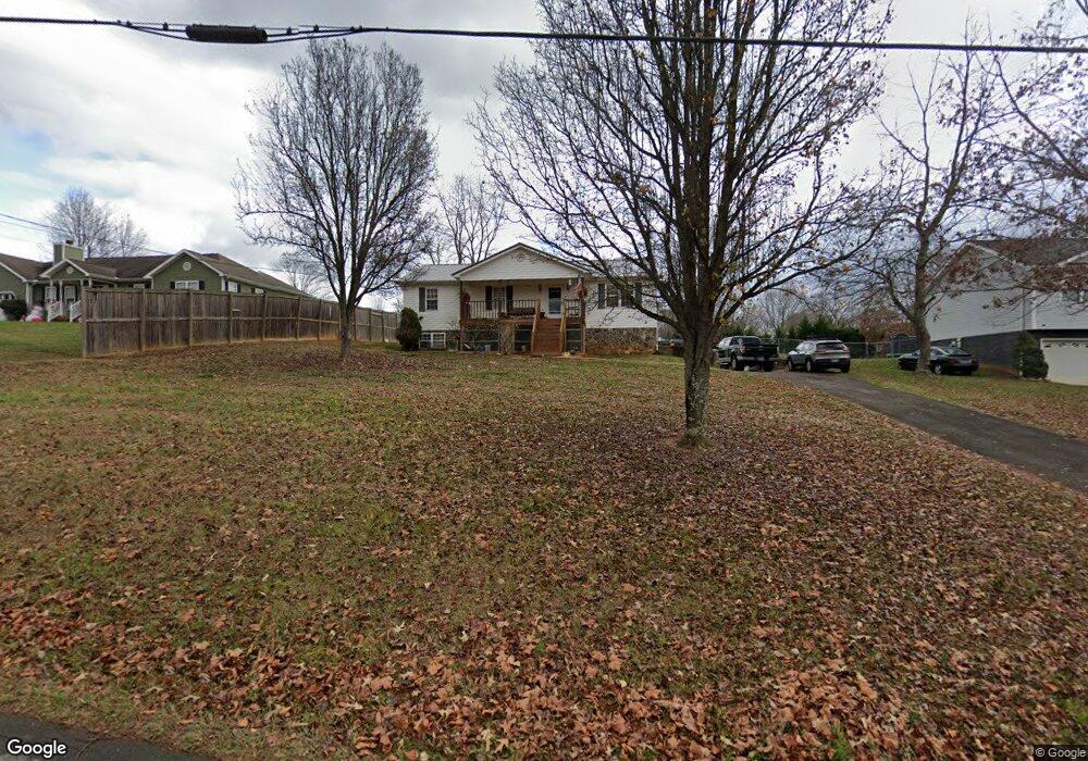
313 Center Dr Blountville, TN 37617
Estimated Value: $292,310 - $435,000
3
Beds
2
Baths
1,350
Sq Ft
$255/Sq Ft
Est. Value
About This Home
This home is located at 313 Center Dr, Blountville, TN 37617 and is currently estimated at $343,578, approximately $254 per square foot. 313 Center Dr is a home located in Sullivan County with nearby schools including Holston Elementary School and Sullivan Central Middle School.
Ownership History
Date
Name
Owned For
Owner Type
Purchase Details
Closed on
Jun 29, 2001
Sold by
Beth Hodges
Bought by
Shannon Mitchell
Current Estimated Value
Home Financials for this Owner
Home Financials are based on the most recent Mortgage that was taken out on this home.
Original Mortgage
$106,391
Outstanding Balance
$41,268
Interest Rate
7.23%
Estimated Equity
$302,310
Purchase Details
Closed on
Jun 28, 2001
Home Financials for this Owner
Home Financials are based on the most recent Mortgage that was taken out on this home.
Original Mortgage
$106,391
Outstanding Balance
$41,268
Interest Rate
7.23%
Estimated Equity
$302,310
Purchase Details
Closed on
Feb 2, 1999
Create a Home Valuation Report for This Property
The Home Valuation Report is an in-depth analysis detailing your home's value as well as a comparison with similar homes in the area
Home Values in the Area
Average Home Value in this Area
Purchase History
| Date | Buyer | Sale Price | Title Company |
|---|---|---|---|
| Shannon Mitchell | $111,911 | -- | |
| -- | $111,900 | -- | |
| -- | $18,500 | -- |
Source: Public Records
Mortgage History
| Date | Status | Borrower | Loan Amount |
|---|---|---|---|
| Open | -- | $106,391 | |
| Closed | -- | $106,391 |
Source: Public Records
Tax History Compared to Growth
Tax History
| Year | Tax Paid | Tax Assessment Tax Assessment Total Assessment is a certain percentage of the fair market value that is determined by local assessors to be the total taxable value of land and additions on the property. | Land | Improvement |
|---|---|---|---|---|
| 2024 | $867 | $34,750 | $4,525 | $30,225 |
| 2023 | $836 | $34,750 | $4,525 | $30,225 |
| 2022 | $836 | $34,750 | $4,525 | $30,225 |
| 2021 | $836 | $34,750 | $4,525 | $30,225 |
| 2020 | $840 | $34,750 | $4,525 | $30,225 |
| 2019 | $840 | $32,675 | $4,525 | $28,150 |
| 2018 | $833 | $32,675 | $4,525 | $28,150 |
| 2017 | $833 | $32,675 | $4,525 | $28,150 |
| 2016 | $885 | $34,375 | $4,525 | $29,850 |
| 2014 | $792 | $34,375 | $0 | $0 |
Source: Public Records
Map
Nearby Homes
- 780 Hamilton Rd Unit 6
- 780 Hamilton Rd Unit I-4
- 1033 Haw Ridge Rd
- 145 Grande Harbor Way
- 225 Forest Ln N
- 112 Cardinal Point
- 205 Forest Ct
- 164 Forest Ln N
- 156 Forest Ln N
- 148 Forest Ln S
- 205 Grande Harbor Way
- 191 Grande Harbor Way
- 290 Candy Creek Private Dr
- 341 Haw Ridge Rd E
- 129 Forest Ln N
- 200 Deck Ln Unit 1105
- 200 Deck Ln Unit 803
- 200 Deck Ln Unit 802
- 200 Deck Ln Unit 801
- 500 Geisler Rd
- 319 Center Dr
- 325 Center Dr
- 201-225 Center Dr
- tbd Center Dr
- 0 Center Dr
- Lot 3 Center Dr
- 337 Center Dr
- 295 Center Dr
- 345 Center Dr
- 328 Center Dr
- 338 Center Dr
- 344 Center Dr
- 325 Hamilton Dr
- 361 Center Dr
- LOT 18 Barbara Dr
- 320 Barbara Dr
- 335 Hamilton Dr
- 343 Hamilton Dr
- 360 Center Dr
- 780 Hamilton Rd Unit C-5