Studio
--
Bath
9,300
Sq Ft
1,287,938
Sq Ft Lot
About This Home
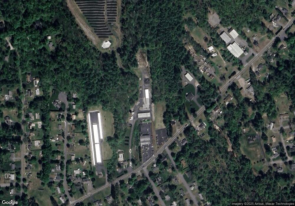
This home is located at 313 Palmer Rd, Ware, MA 01082. 313 Palmer Rd is a home located in Hampshire County with nearby schools including Stanley M. Koziol Elementary School, Ware Middle School, and Ware Junior/Senior High School.
Ownership History
Date
Name
Owned For
Owner Type
Purchase Details
Closed on
Jul 20, 2006
Sold by
Moryl Gail F and Moryl Paul A
Bought by
Sunny Side Storage Llc
Home Financials for this Owner
Home Financials are based on the most recent Mortgage that was taken out on this home.
Original Mortgage
$400,000
Outstanding Balance
$237,733
Interest Rate
6.67%
Mortgage Type
Purchase Money Mortgage
Create a Home Valuation Report for This Property
The Home Valuation Report is an in-depth analysis detailing your home's value as well as a comparison with similar homes in the area
Home Values in the Area
Average Home Value in this Area
Purchase History
| Date | Buyer | Sale Price | Title Company |
|---|---|---|---|
| Sunny Side Storage Llc | -- | -- | |
| Moryl Gail F | -- | -- |
Source: Public Records
Mortgage History
| Date | Status | Borrower | Loan Amount |
|---|---|---|---|
| Open | Moryl Gail F | $400,000 | |
| Closed | Sunny Side Storage Llc | $400,000 |
Source: Public Records
Tax History
| Year | Tax Paid | Tax Assessment Tax Assessment Total Assessment is a certain percentage of the fair market value that is determined by local assessors to be the total taxable value of land and additions on the property. | Land | Improvement |
|---|---|---|---|---|
| 2025 | $15,194 | $1,008,900 | $627,500 | $381,400 |
| 2024 | $15,394 | $942,700 | $592,000 | $350,700 |
| 2023 | $15,909 | $921,700 | $645,500 | $276,200 |
| 2022 | $8,519 | $440,500 | $178,900 | $261,600 |
| 2021 | $8,387 | $415,600 | $168,800 | $246,800 |
| 2020 | $7,579 | $367,400 | $120,600 | $246,800 |
| 2019 | $7,594 | $375,760 | $114,160 | $261,600 |
| 2018 | $7,003 | $338,140 | $101,840 | $236,300 |
| 2017 | $6,733 | $324,160 | $101,660 | $222,500 |
| 2016 | $6,547 | $323,960 | $101,460 | $222,500 |
| 2015 | $6,368 | $324,060 | $101,560 | $222,500 |
| 2014 | $6,284 | $343,180 | $139,880 | $203,300 |
Source: Public Records
Map
Nearby Homes
- 310 Palmer Rd
- 201 West St
- LOT 3 Monson Turnpike Rd
- 201 Belchertown Rd
- 67 Babcock Tavern Rd
- 375 Belchertown Rd
- Lot 16 Coldbrook Dr
- Lot 20 Coldbrook Dr
- Lot 22 Coldbrook Dr
- Lot 13 Coldbrook Dr
- Lot 25 Coldbrook Dr
- 24 Clinton St
- 87 W Main St
- 30 Warebrook Village
- 378 Rondeau St
- 23 West St Unit 25
- 7 Webb Ct
- 57 Babcock Tavern Rd
- 49 Babcock Tavern Rd
- Lot 5 Babcock Tavern Rd
- 349 Palmer Rd
- 295 Palmer Rd
- 304 Palmer Rd
- 308 Palmer Rd
- 315 Palmer Rd
- 291 Palmer Rd
- 300 Palmer Rd
- 2 Woodland Heights
- 3 Woodland Heights
- 17 Kingsberry Ln
- 19 Kingsberry Ln
- 15 Kingsberry Ln
- 2 Longview Ave
- 312 Palmer Rd
- 312 Palmer Rd Unit 27000
- 21 Kingsberry Ln
- 13 Kingsberry Ln
- 298 Palmer Rd
- 5 Woodland Heights
- 319 Palmer Rd
Your Personal Tour Guide
Ask me questions while you tour the home.