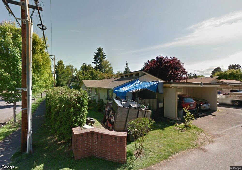
3134 Brittany Dr Forest Grove, OR 97116
Estimated Value: $394,000
10
Beds
4
Baths
3,712
Sq Ft
$106/Sq Ft
Est. Value
About This Home
This home is located at 3134 Brittany Dr, Forest Grove, OR 97116 and is currently priced at $394,000, approximately $106 per square foot. 3134 Brittany Dr is a home located in Washington County with nearby schools including Joseph Gale Elementary School, Neil Armstrong Middle School, and Tom McCall Upper Elementary School.
Ownership History
Date
Name
Owned For
Owner Type
Purchase Details
Closed on
Oct 25, 2016
Sold by
Sherwood Randy G
Bought by
Wilfert Investments Llc
Current Estimated Value
Home Financials for this Owner
Home Financials are based on the most recent Mortgage that was taken out on this home.
Original Mortgage
$200,000
Interest Rate
3.5%
Mortgage Type
Seller Take Back
Purchase Details
Closed on
Feb 17, 2016
Sold by
Agmon Eran
Bought by
Harings Trina Lynn and Harings Joshua M
Purchase Details
Closed on
Jun 30, 2005
Sold by
Sherwood Randy G
Bought by
Sherwood Randy George
Purchase Details
Closed on
Sep 19, 2004
Sold by
Bank One Na
Bought by
Murdock Garey M and Murdock Catherine
Purchase Details
Closed on
May 1, 2002
Sold by
Sherwood Investments
Bought by
Sherwood Randy G
Purchase Details
Closed on
Mar 2, 1998
Sold by
Sherwood Randy G and Richards Suzanne R
Bought by
Sherwood Investments
Create a Home Valuation Report for This Property
The Home Valuation Report is an in-depth analysis detailing your home's value as well as a comparison with similar homes in the area
Home Values in the Area
Average Home Value in this Area
Purchase History
| Date | Buyer | Sale Price | Title Company |
|---|---|---|---|
| Wilfert Investments Llc | $300,000 | Wfg Title | |
| Harings Trina Lynn | $244,000 | Wfg Title | |
| Sherwood Randy George | -- | -- | |
| Murdock Garey M | $106,400 | First American | |
| Sherwood Randy G | -- | Fidelity National Title Co | |
| Sherwood Investments | -- | Oregon Title |
Source: Public Records
Mortgage History
| Date | Status | Borrower | Loan Amount |
|---|---|---|---|
| Closed | Wilfert Investments Llc | $200,000 |
Source: Public Records
Tax History Compared to Growth
Tax History
| Year | Tax Paid | Tax Assessment Tax Assessment Total Assessment is a certain percentage of the fair market value that is determined by local assessors to be the total taxable value of land and additions on the property. | Land | Improvement |
|---|---|---|---|---|
| 2022 | $4,618 | $276,750 | -- | -- |
| 2021 | $4,618 | $276,750 | $0 | $0 |
| 2020 | $4,593 | $260,870 | $0 | $0 |
| 2019 | $4,491 | $253,280 | $0 | $0 |
| 2018 | $4,353 | $245,910 | $0 | $0 |
| 2017 | $4,219 | $238,750 | $0 | $0 |
| 2016 | $4,100 | $231,800 | $0 | $0 |
| 2015 | $3,942 | $225,050 | $0 | $0 |
| 2014 | $3,923 | $218,500 | $0 | $0 |
Source: Public Records
Map
Nearby Homes
- 3128 Brittany Dr
- 3213 Maple Place
- 1615 Kingwood St
- 2743 15th Place
- 3404 19th Ave Unit 103
- 3404 19th Ave Unit 215
- 0 Crescent Dr
- 2902 19th Ave
- 2815 18th Ave
- 2824 19th Ave
- 1118 Hampton Ct
- 1119 Hawthorne St
- 1822 Hawthorne St
- 1813 Filbert St
- 0 Kingwood St
- 2828 22nd Ave Unit 3
- 2828 22nd Ave Unit 5
- 1835 Tamarack Ct
- 2366 Kingwood St
- 2323 19th Ave
- 3132 Brittany Dr
- 3130 Brittany Dr
- 3126 Brittany Dr
- 3118 Brittany Dr
- 3131 Brittany Dr
- 1512 Maple St
- 3110 15th Place
- 3119 Brittany Dr
- 3205 Maple Place
- 3110 Brittany Dr
- 1502 Maple St
- 1603 Maple St
- 1421 Madrona Ln
- 3103 Brittany Dr
- 1614 Maple St
- 3124 16th Place
- 1527 Maple St
- 3116 16th Place
- 3050 Brittany Dr
- 3046 Brittany Dr