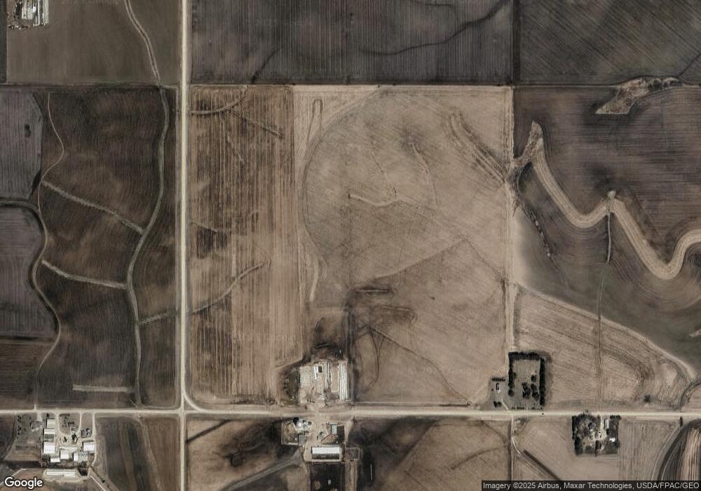
31344 County Road 111 Lewiston, MN 55952
Estimated Value: $1,688,072
3
Beds
1
Bath
1,144
Sq Ft
$1,476/Sq Ft
Est. Value
About This Home
This home is located at 31344 County Road 111, Lewiston, MN 55952 and is currently estimated at $1,688,072, approximately $1,475 per square foot. 31344 County Road 111 is a home located in Winona County with nearby schools including Lewiston-Altura Secondary School.
Ownership History
Date
Name
Owned For
Owner Type
Purchase Details
Closed on
Oct 27, 2021
Sold by
Helen J Roberton Revocable Trust and Holm Shari E
Bought by
Msk Farms Llc
Current Estimated Value
Home Financials for this Owner
Home Financials are based on the most recent Mortgage that was taken out on this home.
Original Mortgage
$1,014,000
Interest Rate
2.8%
Mortgage Type
New Conventional
Purchase Details
Closed on
Feb 4, 2019
Sold by
Kronebusch Mark F and Kronebusch Susan C
Bought by
Msk Farms Llc
Purchase Details
Closed on
May 22, 2018
Sold by
Independent School District No 857
Bought by
Holm Shari E and Roberton Gary W
Purchase Details
Closed on
Feb 27, 2018
Sold by
Holm Shari E and Roberton Gary W
Bought by
Kronebusch Mark F and Kronebusch Susan C
Create a Home Valuation Report for This Property
The Home Valuation Report is an in-depth analysis detailing your home's value as well as a comparison with similar homes in the area
Home Values in the Area
Average Home Value in this Area
Purchase History
| Date | Buyer | Sale Price | Title Company |
|---|---|---|---|
| Msk Farms Llc | $1,332,000 | None Listed On Document | |
| Msk Farms Llc | -- | None Available | |
| Holm Shari E | -- | None Available | |
| Kronebusch Mark F | $1,332,000 | None Available |
Source: Public Records
Mortgage History
| Date | Status | Borrower | Loan Amount |
|---|---|---|---|
| Closed | Msk Farms Llc | $1,014,000 | |
| Open | Msk Farms Llc | $2,389,075 |
Source: Public Records
Tax History Compared to Growth
Tax History
| Year | Tax Paid | Tax Assessment Tax Assessment Total Assessment is a certain percentage of the fair market value that is determined by local assessors to be the total taxable value of land and additions on the property. | Land | Improvement |
|---|---|---|---|---|
| 2025 | $7,988 | $1,484,400 | $1,484,400 | $0 |
| 2024 | $7,988 | $1,358,100 | $1,358,100 | $0 |
| 2023 | $5,012 | $1,303,100 | $1,303,100 | $0 |
| 2022 | $4,652 | $1,185,900 | $1,185,900 | $0 |
| 2021 | $4,926 | $1,073,800 | $1,073,800 | $0 |
| 2020 | $5,550 | $1,144,900 | $1,143,500 | $1,400 |
| 2019 | $6,638 | $1,144,900 | $1,143,500 | $1,400 |
| 2018 | $3,684 | $1,075,400 | $1,074,000 | $1,400 |
| 2017 | $3,770 | $0 | $0 | $0 |
| 2016 | $4,030 | $0 | $0 | $0 |
| 2015 | $4,030 | $0 | $0 | $0 |
| 2014 | $2,580 | $0 | $0 | $0 |
Source: Public Records
Map
Nearby Homes
- TBD30 Cherokee Rd
- 205 Nicholas Dr
- 225 S 1st St
- 140 W Main St
- 95 Williams St
- 0 Cherokee Rd
- 570 Harrison St
- 1397 Soppa Dr
- 1542 Rimrock Rd
- 260 E 15th St
- 2032 Wabasha Ave
- 1525 Wabasha Ave
- 701 Bluff Ave
- xx Tbd
- 113 E 7th St
- 240 Northern Hills Dr
- 413 Northern Hills Ct
- TDB Oakview Dr
- 1113 Oakview Dr
- 1160 Oakview Dr
