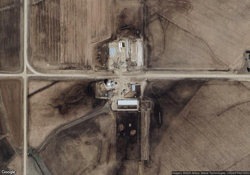
31351 County Road 111 Lewiston, MN 55952
7
Beds
2
Baths
2,212
Sq Ft
160
Acres
About This Home
This home is located at 31351 County Road 111, Lewiston, MN 55952. 31351 County Road 111 is a home located in Winona County with nearby schools including Lewiston-Altura Secondary School.
Ownership History
Date
Name
Owned For
Owner Type
Purchase Details
Closed on
Feb 4, 2019
Sold by
Kronebusch Mark F and Kronebusch Susan C
Bought by
Msk Farms Llc
Purchase Details
Closed on
Feb 27, 2018
Sold by
Holm Shari E and Roberton Gary W
Bought by
Kronebusch Mark F and Kronebusch Susan C
Home Financials for this Owner
Home Financials are based on the most recent Mortgage that was taken out on this home.
Original Mortgage
$1,310,000
Interest Rate
4.04%
Mortgage Type
Commercial
Create a Home Valuation Report for This Property
The Home Valuation Report is an in-depth analysis detailing your home's value as well as a comparison with similar homes in the area
Home Values in the Area
Average Home Value in this Area
Purchase History
| Date | Buyer | Sale Price | Title Company |
|---|---|---|---|
| Msk Farms Llc | -- | None Available | |
| Kronebusch Mark F | $1,590,000 | None Available |
Source: Public Records
Mortgage History
| Date | Status | Borrower | Loan Amount |
|---|---|---|---|
| Previous Owner | Kronebusch Mark F | $1,310,000 |
Source: Public Records
Tax History Compared to Growth
Tax History
| Year | Tax Paid | Tax Assessment Tax Assessment Total Assessment is a certain percentage of the fair market value that is determined by local assessors to be the total taxable value of land and additions on the property. | Land | Improvement |
|---|---|---|---|---|
| 2025 | $8,478 | $1,555,700 | $1,416,200 | $139,500 |
| 2024 | $8,478 | $1,441,300 | $1,301,800 | $139,500 |
| 2023 | $5,924 | $1,396,900 | $1,252,800 | $144,100 |
| 2022 | $5,958 | $1,168,800 | $1,139,400 | $29,400 |
| 2021 | $6,996 | $1,048,900 | $1,019,500 | $29,400 |
| 2020 | $7,448 | $1,198,000 | $1,092,200 | $105,800 |
| 2019 | $7,112 | $1,198,000 | $1,092,200 | $105,800 |
| 2018 | $3,120 | $1,124,200 | $1,019,000 | $105,200 |
| 2017 | $3,580 | $0 | $0 | $0 |
| 2016 | $3,786 | $0 | $0 | $0 |
| 2015 | $3,786 | $0 | $0 | $0 |
| 2014 | $2,766 | $0 | $0 | $0 |
Source: Public Records
Map
Nearby Homes
- TBD30 Cherokee Rd
- 205 Nicholas Dr
- 225 S 1st St
- 140 W Main St
- 95 Williams St
- 0 Cherokee Rd
- 570 Harrison St
- 1397 Soppa Dr
- 1542 Rimrock Rd
- 260 E 15th St
- 2032 Wabasha Ave
- 1525 Wabasha Ave
- 701 Bluff Ave
- xx Tbd
- 113 E 7th St
- 240 Northern Hills Dr
- 413 Northern Hills Ct
- TDB Oakview Dr
- 1113 Oakview Dr
- 8 Lots - 1 Price Briella Ave