Estimated Value: $223,000 - $414,648
3
Beds
2
Baths
2,580
Sq Ft
$135/Sq Ft
Est. Value
About This Home
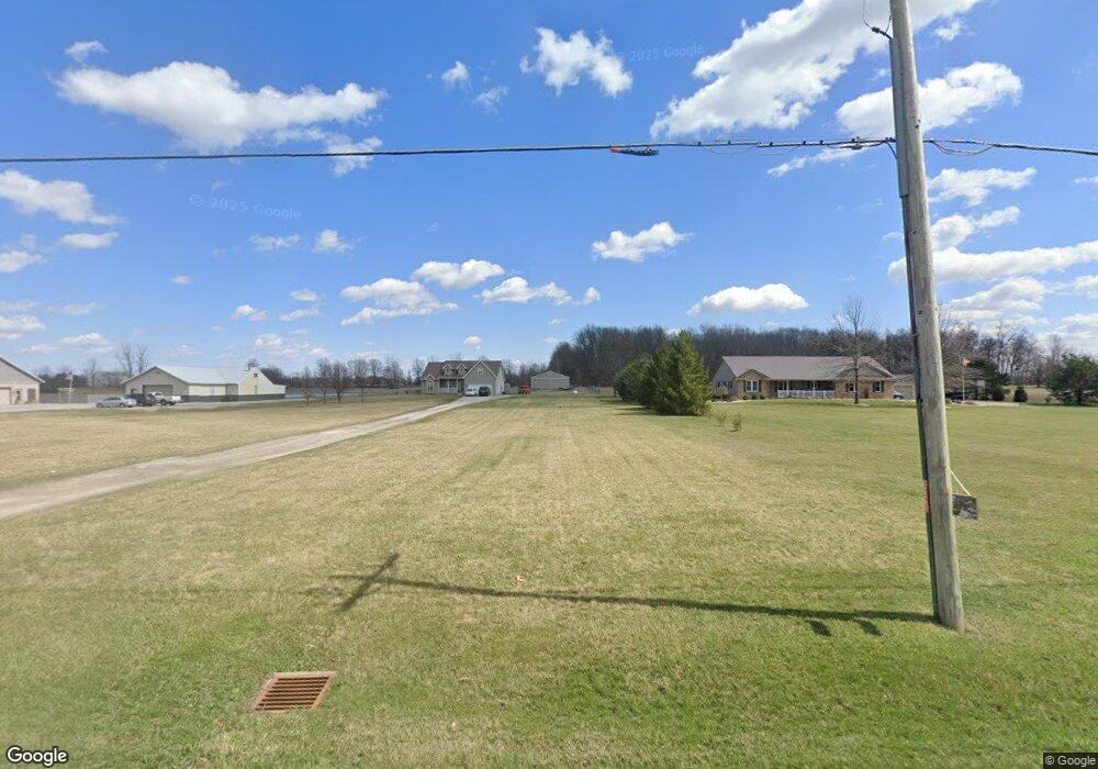
This home is located at 3136 Stewart Rd, Lima, OH 45801 and is currently estimated at $347,912, approximately $134 per square foot. 3136 Stewart Rd is a home located in Allen County with nearby schools including Bath Elementary School, Bath Middle School, and Bath High School.
Ownership History
Date
Name
Owned For
Owner Type
Purchase Details
Closed on
Sep 18, 2020
Sold by
Rasor Joel H
Bought by
Rasor Joel H and Rasor Angela E
Current Estimated Value
Purchase Details
Closed on
Sep 21, 1999
Sold by
Ambrister Joshua
Bought by
Ebbeskotte Matthew and Ebbeskotte Alice
Home Financials for this Owner
Home Financials are based on the most recent Mortgage that was taken out on this home.
Original Mortgage
$27,850
Interest Rate
7.93%
Mortgage Type
New Conventional
Purchase Details
Closed on
Feb 22, 1999
Sold by
Mcgue Terry
Bought by
Ambrister Joshua and Ambrister Sondra
Home Financials for this Owner
Home Financials are based on the most recent Mortgage that was taken out on this home.
Original Mortgage
$25,150
Interest Rate
6.88%
Mortgage Type
New Conventional
Purchase Details
Closed on
Nov 14, 1996
Sold by
Kinstle Nicholas
Bought by
Mcgue Terry and Mcgue Michelle
Create a Home Valuation Report for This Property
The Home Valuation Report is an in-depth analysis detailing your home's value as well as a comparison with similar homes in the area
Purchase History
| Date | Buyer | Sale Price | Title Company |
|---|---|---|---|
| Rasor Joel H | -- | None Available | |
| Rasor Joel H | -- | None Listed On Document | |
| Ebbeskotte Matthew | $31,000 | -- | |
| Ambrister Joshua | $30,500 | -- | |
| Mcgue Terry | $28,000 | -- |
Source: Public Records
Mortgage History
| Date | Status | Borrower | Loan Amount |
|---|---|---|---|
| Previous Owner | Ebbeskotte Matthew | $27,850 | |
| Previous Owner | Ambrister Joshua | $25,150 |
Source: Public Records
Tax History
| Year | Tax Paid | Tax Assessment Tax Assessment Total Assessment is a certain percentage of the fair market value that is determined by local assessors to be the total taxable value of land and additions on the property. | Land | Improvement |
|---|---|---|---|---|
| 2024 | $5,585 | $124,600 | $19,880 | $104,720 |
| 2023 | $4,864 | $105,600 | $16,840 | $88,760 |
| 2022 | $4,964 | $105,600 | $16,840 | $88,760 |
| 2021 | $4,977 | $105,600 | $16,840 | $88,760 |
| 2020 | $4,585 | $89,640 | $19,500 | $70,140 |
| 2019 | $4,585 | $89,640 | $19,500 | $70,140 |
| 2018 | $4,276 | $89,640 | $19,500 | $70,140 |
| 2017 | $4,061 | $80,510 | $19,500 | $61,010 |
| 2016 | $3,986 | $80,510 | $19,500 | $61,010 |
| 2015 | $4,145 | $80,510 | $19,500 | $61,010 |
| 2014 | $4,145 | $80,470 | $19,500 | $60,970 |
| 2013 | $4,162 | $80,470 | $19,500 | $60,970 |
Source: Public Records
Map
Nearby Homes
- 3263 Shiloh Dr
- 2878 Autumn Lake Dr
- 1656 Stewart Rd
- 108 Highland Lakes Dr
- 3270 Bonnieview Dr
- 1503 Findlay Rd Unit Lot 6
- 711 Taylor Ave
- 812 Christopher Dr
- 105 Watt Ave
- 475 Kenmore St
- 1435 N Central Ave
- 128 E Lane Ave
- 520 Kenmore St
- 1705 Karen St
- 207 W Lane Ave
- 3137 Thorndyke Dr
- 400 W Northern Ave
- 307 Ridge Crest Cir
- 1924 Burch Ave
- 922 N Jefferson St