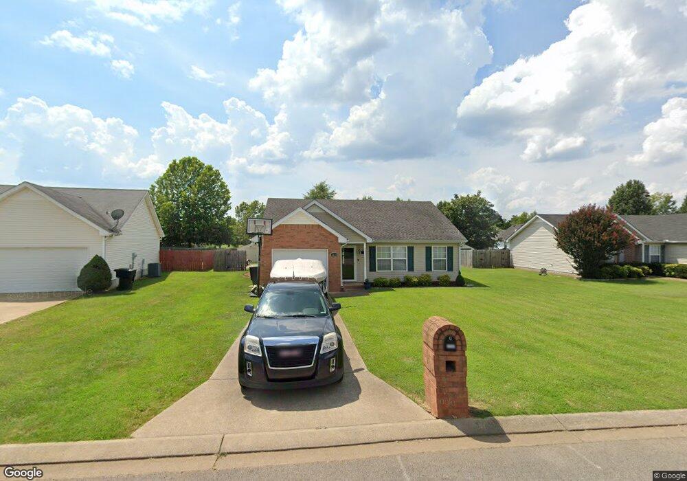
3137 Holsted Dr Murfreesboro, TN 37128
Estimated Value: $309,135 - $358,000
--
Bed
2
Baths
1,224
Sq Ft
$271/Sq Ft
Est. Value
About This Home
This home is located at 3137 Holsted Dr, Murfreesboro, TN 37128 and is currently estimated at $332,284, approximately $271 per square foot. 3137 Holsted Dr is a home located in Rutherford County with nearby schools including Scales Elementary School, Rockvale Middle School, and Rockvale High School.
Ownership History
Date
Name
Owned For
Owner Type
Purchase Details
Closed on
Jun 29, 2007
Sold by
Dawn Reed Catrina
Bought by
Bell Cody R
Current Estimated Value
Home Financials for this Owner
Home Financials are based on the most recent Mortgage that was taken out on this home.
Original Mortgage
$85,000
Outstanding Balance
$52,516
Interest Rate
6.37%
Mortgage Type
Purchase Money Mortgage
Estimated Equity
$279,768
Purchase Details
Closed on
Nov 23, 2005
Sold by
Reed Joseph R
Bought by
Dawn Reed Catrina
Home Financials for this Owner
Home Financials are based on the most recent Mortgage that was taken out on this home.
Original Mortgage
$92,720
Interest Rate
6.1%
Mortgage Type
Purchase Money Mortgage
Create a Home Valuation Report for This Property
The Home Valuation Report is an in-depth analysis detailing your home's value as well as a comparison with similar homes in the area
Home Values in the Area
Average Home Value in this Area
Purchase History
| Date | Buyer | Sale Price | Title Company |
|---|---|---|---|
| Bell Cody R | $129,900 | -- | |
| Bell Cody R | $129,900 | -- | |
| Dawn Reed Catrina | -- | -- | |
| Dawn Reed Catrina | $115,900 | -- |
Source: Public Records
Mortgage History
| Date | Status | Borrower | Loan Amount |
|---|---|---|---|
| Open | Bell Cody R | $85,000 | |
| Closed | Dawn Reed Catrina | $85,000 | |
| Previous Owner | Dawn Reed Catrina | $92,720 |
Source: Public Records
Tax History Compared to Growth
Tax History
| Year | Tax Paid | Tax Assessment Tax Assessment Total Assessment is a certain percentage of the fair market value that is determined by local assessors to be the total taxable value of land and additions on the property. | Land | Improvement |
|---|---|---|---|---|
| 2025 | $1,725 | $60,963 | $13,750 | $47,213 |
| 2024 | $1,725 | $60,963 | $13,750 | $47,213 |
| 2023 | $1,144 | $60,963 | $13,750 | $47,213 |
| 2022 | $985 | $60,963 | $13,750 | $47,213 |
| 2021 | $950 | $42,788 | $9,375 | $33,413 |
| 2020 | $950 | $42,788 | $9,375 | $33,413 |
| 2019 | $950 | $42,788 | $9,375 | $33,413 |
| 2018 | $1,304 | $42,788 | $0 | $0 |
| 2017 | $1,181 | $30,375 | $0 | $0 |
| 2016 | $1,181 | $30,375 | $0 | $0 |
| 2015 | $1,181 | $30,375 | $0 | $0 |
| 2014 | $755 | $30,375 | $0 | $0 |
| 2013 | -- | $31,100 | $0 | $0 |
Source: Public Records
Map
Nearby Homes
- 1518 Saint Andrews Dr
- 1541 Teresa Ln
- 1421 Rebecca Johns Dr
- 1442 Rebecca Johns Dr Unit V20
- 412 Conhocken Ct
- 2940 Waywood Dr
- 3228 Willingham Run
- 1710 Locerbie Dr
- 1712 Odessa Ave
- 1725 Satterfield Ct
- 1417 Ovaldale Dr
- 1210 Lambeth Dr
- 1736 Bellamy Ln
- 3216 Terrapin Ct
- 2307 Katie Ct
- 1919 Debonair Ln
- 3307 Perlino Dr
- 2018 Debonair Ln
- 2012 Victory Gallop Ln
- 2017 Victory Gallop Ln
- 3133 Holsted Dr
- 3129 Holsted Dr
- 3145 Holsted Dr
- 3209 Grantown Dr
- 1325 Tralee Ct
- 3138 Holsted Dr
- 3142 Holsted Dr
- 3213 Grantown Dr
- 3125 Holsted Dr
- 1322 Tralee Ct
- 1329 Tralee Ct
- 3126 Holsted Dr
- 3150 Holsted Dr
- 1315 Mac Duff Dr
- 3121 Holsted Dr
- 1311 Mac Duff Dr
- 3153 Holsted Dr
- 1319 Mac Duff Dr
- 3112 Wellington Place
- 1288 Dalmally Dr