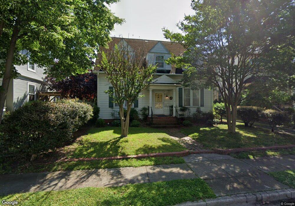
314 Marshall St Hampton, VA 23669
Pasture Point NeighborhoodEstimated Value: $408,000 - $466,000
3
Beds
3
Baths
2,627
Sq Ft
$167/Sq Ft
Est. Value
About This Home
This home is located at 314 Marshall St, Hampton, VA 23669 and is currently estimated at $437,751, approximately $166 per square foot. 314 Marshall St is a home located in Hampton City with nearby schools including Capt. John Smith Elementary School, C. Alton Lindsay Middle School, and Phoebus High School.
Ownership History
Date
Name
Owned For
Owner Type
Purchase Details
Closed on
May 3, 2022
Sold by
Simkins Jones Iv Eldred
Bought by
Solomon Heather Wightman
Current Estimated Value
Home Financials for this Owner
Home Financials are based on the most recent Mortgage that was taken out on this home.
Original Mortgage
$297,600
Outstanding Balance
$282,330
Interest Rate
5.1%
Mortgage Type
New Conventional
Estimated Equity
$155,421
Create a Home Valuation Report for This Property
The Home Valuation Report is an in-depth analysis detailing your home's value as well as a comparison with similar homes in the area
Home Values in the Area
Average Home Value in this Area
Purchase History
| Date | Buyer | Sale Price | Title Company |
|---|---|---|---|
| Solomon Heather Wightman | $372,000 | Fidelity National Title |
Source: Public Records
Mortgage History
| Date | Status | Borrower | Loan Amount |
|---|---|---|---|
| Open | Solomon Heather Wightman | $297,600 |
Source: Public Records
Tax History
| Year | Tax Paid | Tax Assessment Tax Assessment Total Assessment is a certain percentage of the fair market value that is determined by local assessors to be the total taxable value of land and additions on the property. | Land | Improvement |
|---|---|---|---|---|
| 2025 | $4,673 | $409,200 | $138,800 | $270,400 |
| 2024 | $4,386 | $381,400 | $138,800 | $242,600 |
| 2023 | $4,294 | $370,200 | $138,800 | $231,400 |
| 2022 | $3,405 | $288,600 | $131,600 | $157,000 |
| 2021 | $3,441 | $267,000 | $131,600 | $135,400 |
| 2020 | $3,194 | $257,600 | $131,200 | $126,400 |
| 2019 | $3,194 | $257,600 | $131,200 | $126,400 |
| 2018 | $3,559 | $257,600 | $131,200 | $126,400 |
| 2017 | $3,288 | $0 | $0 | $0 |
| 2016 | $3,643 | $286,200 | $0 | $0 |
| 2015 | $3,830 | $0 | $0 | $0 |
| 2014 | $3,980 | $314,200 | $153,500 | $160,700 |
Source: Public Records
Map
Nearby Homes
- 329 Elm Ave
- 542 River St
- 115 E Pembroke Ave
- 314 Cooper St
- 720 River St
- 433 Cooper St
- 439 Cooper St
- 221 Island Cove Ct Unit C
- 414 Harrison St
- 138 Eberly Terrace
- 227 Dockside Dr Unit C
- 16 S Cypress St
- 12 N Juniper St
- 100 Eberly Terrace
- 1002 E Pembroke Ave
- 845 N King St
- 240 Dockside Dr Unit C
- LOT 17 Prentiss Ln
- 105 Prentiss Ln
- 925 Quash St
- 312 Marshall St
- 316 Marshall St
- 310 Marshall St
- 315 Marshall St
- 317 Marshall St
- 320 Marshall St
- 311 Marshall St
- 308 Marshall St
- 346 E Pembroke Ave
- 322 Marshall St
- 410 E Pembroke Ave
- 324 Center St
- 328 Center St
- 320 Center St
- 341 Syms St
- 318 Center St
- 334 E Pembroke Ave
- 440 E Pembroke Ave
- 306 Marshall St
- 333 Syms St
Your Personal Tour Guide
Ask me questions while you tour the home.