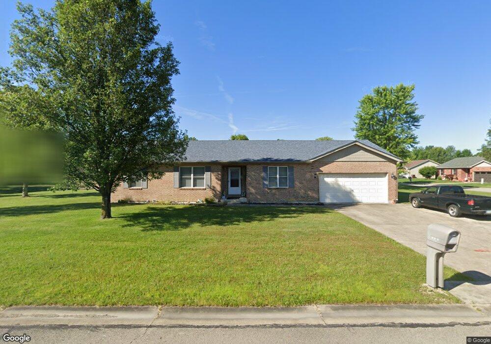
314 Robin Ave Mount Orab, OH 45154
Estimated Value: $260,000 - $303,000
3
Beds
2
Baths
1,524
Sq Ft
$179/Sq Ft
Est. Value
About This Home
This home is located at 314 Robin Ave, Mount Orab, OH 45154 and is currently estimated at $273,530, approximately $179 per square foot. 314 Robin Ave is a home located in Brown County with nearby schools including Western Brown High School.
Ownership History
Date
Name
Owned For
Owner Type
Purchase Details
Closed on
Apr 19, 2007
Sold by
Cake Shannon L and Cake Donna
Bought by
Ertel David and Ertel Pauline
Current Estimated Value
Home Financials for this Owner
Home Financials are based on the most recent Mortgage that was taken out on this home.
Original Mortgage
$100,000
Outstanding Balance
$60,562
Interest Rate
6.18%
Mortgage Type
Balloon
Estimated Equity
$212,968
Purchase Details
Closed on
Nov 20, 2002
Sold by
Gorman Commercial Group
Bought by
Cake Shannon L Donna
Home Financials for this Owner
Home Financials are based on the most recent Mortgage that was taken out on this home.
Original Mortgage
$114,400
Interest Rate
6.08%
Mortgage Type
New Conventional
Purchase Details
Closed on
Oct 22, 2001
Sold by
Gorman Raymond
Bought by
Gorman Commercial Group Llc
Create a Home Valuation Report for This Property
The Home Valuation Report is an in-depth analysis detailing your home's value as well as a comparison with similar homes in the area
Home Values in the Area
Average Home Value in this Area
Purchase History
| Date | Buyer | Sale Price | Title Company |
|---|---|---|---|
| Ertel David | $126,300 | Attorney | |
| Cake Shannon L | -- | Attorney | |
| Cake Shannon L Donna | $114,400 | -- | |
| Gorman Commercial Group Llc | $13,000 | -- |
Source: Public Records
Mortgage History
| Date | Status | Borrower | Loan Amount |
|---|---|---|---|
| Open | Ertel David | $100,000 | |
| Previous Owner | Cake Shannon L Donna | $114,400 |
Source: Public Records
Tax History Compared to Growth
Tax History
| Year | Tax Paid | Tax Assessment Tax Assessment Total Assessment is a certain percentage of the fair market value that is determined by local assessors to be the total taxable value of land and additions on the property. | Land | Improvement |
|---|---|---|---|---|
| 2024 | $2,093 | $77,250 | $9,100 | $68,150 |
| 2023 | $2,093 | $48,350 | $8,320 | $40,030 |
| 2022 | $1,330 | $48,350 | $8,320 | $40,030 |
| 2021 | $1,277 | $48,350 | $8,320 | $40,030 |
| 2020 | $1,072 | $40,290 | $6,930 | $33,360 |
| 2019 | $1,143 | $40,290 | $6,930 | $33,360 |
| 2018 | $1,129 | $40,290 | $6,930 | $33,360 |
| 2017 | $947 | $34,550 | $6,930 | $27,620 |
| 2016 | $948 | $34,550 | $6,930 | $27,620 |
| 2015 | $904 | $34,550 | $6,930 | $27,620 |
| 2014 | $902 | $33,920 | $6,300 | $27,620 |
| 2013 | $900 | $33,920 | $6,300 | $27,620 |
Source: Public Records
Map
Nearby Homes
- 204 Katelin Ln
- 100 Robin Ave
- 14663 Day Rd
- 329 E Main St
- 0 State Route 32 Unit 1795308
- 203 Bingaman Ln
- 108 Lonny St
- 106 Lonny St
- 103 Lonny St
- Fairton Plan at Glover Meadows
- Chatham Plan at Glover Meadows
- Bellamy Plan at Glover Meadows
- Taylor Plan at Glover Meadows
- Harmony Plan at Glover Meadows
- Aldridge Plan at Glover Meadows
- 3517 Bardwell Buford Rd
- 150 Lonny St
- 127 Lonny St
- 411 Smith Ave
- 200 Gregory St