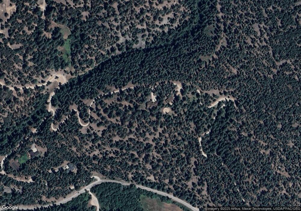
3146 Pattee Canyon Rd Missoula, MT 59803
Estimated Value: $1,166,000 - $1,948,530
5
Beds
4
Baths
4,217
Sq Ft
$358/Sq Ft
Est. Value
About This Home
This home is located at 3146 Pattee Canyon Rd, Missoula, MT 59803 and is currently estimated at $1,509,177, approximately $357 per square foot. 3146 Pattee Canyon Rd is a home located in Missoula County with nearby schools including Lewis & Clark School, Washington Middle School, and Sentinel High School.
Ownership History
Date
Name
Owned For
Owner Type
Purchase Details
Closed on
Jun 21, 2022
Sold by
Daniel T Morgan Revocable Trust
Bought by
Oconnor Michael A and Oconnor Vesna Vera
Current Estimated Value
Home Financials for this Owner
Home Financials are based on the most recent Mortgage that was taken out on this home.
Original Mortgage
$329,342
Interest Rate
5.3%
Mortgage Type
New Conventional
Purchase Details
Closed on
Apr 22, 2008
Sold by
Morgan Daniel T
Bought by
Morgan Daniel T
Create a Home Valuation Report for This Property
The Home Valuation Report is an in-depth analysis detailing your home's value as well as a comparison with similar homes in the area
Home Values in the Area
Average Home Value in this Area
Purchase History
| Date | Buyer | Sale Price | Title Company |
|---|---|---|---|
| Oconnor Michael A | -- | -- | |
| Morgan Daniel T | -- | None Available |
Source: Public Records
Mortgage History
| Date | Status | Borrower | Loan Amount |
|---|---|---|---|
| Previous Owner | Oconnor Michael A | $329,342 |
Source: Public Records
Tax History Compared to Growth
Tax History
| Year | Tax Paid | Tax Assessment Tax Assessment Total Assessment is a certain percentage of the fair market value that is determined by local assessors to be the total taxable value of land and additions on the property. | Land | Improvement |
|---|---|---|---|---|
| 2025 | $13,681 | $1,731,966 | $141,486 | $1,590,480 |
| 2024 | $15,014 | $1,426,097 | $151,657 | $1,274,440 |
| 2023 | $13,180 | $1,426,097 | $151,657 | $1,274,440 |
| 2022 | $11,522 | $1,073,227 | $0 | $0 |
| 2021 | $11,623 | $1,073,227 | $0 | $0 |
| 2020 | $10,569 | $955,562 | $0 | $0 |
| 2019 | $10,544 | $955,562 | $0 | $0 |
| 2018 | $9,408 | $859,582 | $0 | $0 |
| 2017 | $9,303 | $859,582 | $0 | $0 |
| 2016 | $9,193 | $899,112 | $0 | $0 |
| 2015 | $8,472 | $899,112 | $0 | $0 |
| 2014 | $6,372 | $378,689 | $0 | $0 |
Source: Public Records
Map
Nearby Homes
- Parcel 3B Snowshoe Ln
- 4830 Arnica Rd
- 901 Ben Hogan Dr
- 1133 Pacific Dr
- 110 Hillcrest Loop
- 410 Ben Hogan Dr
- 716 Spanish Peaks Dr
- 524 Spanish Peaks Dr
- 100 Pattee Canyon Dr
- 675 E Central Ave
- 200 Northview Dr
- 140 Fairway Dr
- 230 Dean Stone Dr
- 500 Westview Dr
- 831 Hastings Ave
- 217 Dixon Ave
- 2711 S Higgins Ave
- 226 Mansion Heights Dr
- 925 Parkview Way
- 1023 Whitaker Dr Unit A
- 3146 Pattee Canyon Rd
- Tract 3b Snowshoe Ln
- Nhn Snowshoe Ln
- 2550 Pattee Canyon Rd
- 4425 Snowshoe Ln
- 3140 Pattee Canyon Rd
- 0 Burning Tree Dr Unit 21710285
- 4174 Snowshoe Ln
- 4175 Snowshoe Ln
- 2980 Pattee Canyon Rd
- 4125 Snowshoe Ln
- 2350 Pattee Canyon Rd
- 4485 Snowshoe Ln
- 4655 Lupine Rd
- 3130 Pattee Canyon Rd
- 3132 Pattee Canyon Rd
- 2250 Pattee Canyon Rd
- 4705 Lupine Rd
- 4900 Burning Tree Dr
- 3150 Pattee Canyon Rd
