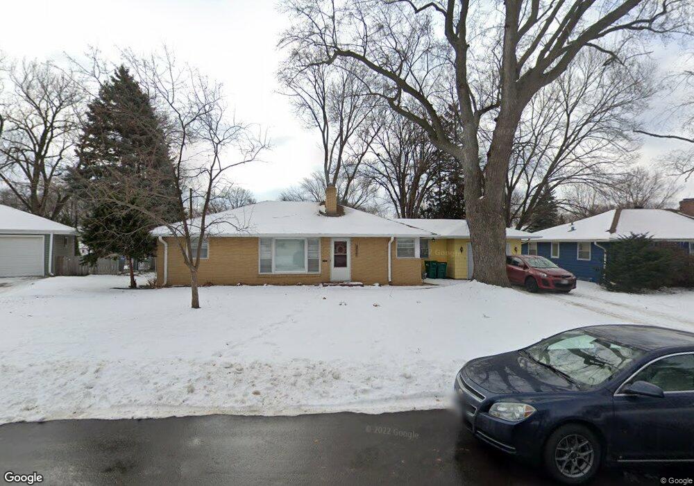
315 Apple Ln Richfield, MN 55423
Estimated Value: $387,000 - $412,475
4
Beds
3
Baths
2,054
Sq Ft
$194/Sq Ft
Est. Value
About This Home
This home is located at 315 Apple Ln, Richfield, MN 55423 and is currently estimated at $398,869, approximately $194 per square foot. 315 Apple Ln is a home located in Hennepin County with nearby schools including Centennial Elementary School, Richfield Middle School, and Partnership Academy Inc..
Ownership History
Date
Name
Owned For
Owner Type
Purchase Details
Closed on
Nov 6, 2020
Sold by
Rodriguez Christina and Rodriguez Mark
Bought by
Landmark Marilee F
Current Estimated Value
Home Financials for this Owner
Home Financials are based on the most recent Mortgage that was taken out on this home.
Original Mortgage
$259,920
Outstanding Balance
$232,345
Interest Rate
2.8%
Mortgage Type
New Conventional
Estimated Equity
$168,767
Purchase Details
Closed on
May 6, 2009
Sold by
Halvorson Susan J
Bought by
Rodriguez Mark and Rodriguez Christina
Create a Home Valuation Report for This Property
The Home Valuation Report is an in-depth analysis detailing your home's value as well as a comparison with similar homes in the area
Home Values in the Area
Average Home Value in this Area
Purchase History
| Date | Buyer | Sale Price | Title Company |
|---|---|---|---|
| Landmark Marilee F | $324,900 | Burnet Title | |
| Rodriguez Mark | $212,000 | -- | |
| Landmark Marilee Marilee | $324,900 | -- |
Source: Public Records
Mortgage History
| Date | Status | Borrower | Loan Amount |
|---|---|---|---|
| Open | Landmark Marilee F | $259,920 | |
| Closed | Landmark Marilee Marilee | $259,920 |
Source: Public Records
Tax History Compared to Growth
Tax History
| Year | Tax Paid | Tax Assessment Tax Assessment Total Assessment is a certain percentage of the fair market value that is determined by local assessors to be the total taxable value of land and additions on the property. | Land | Improvement |
|---|---|---|---|---|
| 2024 | $5,316 | $374,500 | $131,300 | $243,200 |
| 2023 | $5,255 | $379,000 | $134,400 | $244,600 |
| 2022 | $4,272 | $363,000 | $126,000 | $237,000 |
| 2021 | $4,140 | $305,000 | $101,000 | $204,000 |
| 2020 | $4,417 | $293,000 | $95,000 | $198,000 |
| 2019 | $4,266 | $298,000 | $112,000 | $186,000 |
| 2018 | $3,996 | $283,000 | $102,000 | $181,000 |
| 2017 | $3,376 | $235,000 | $76,000 | $159,000 |
| 2016 | $3,129 | $208,000 | $76,000 | $132,000 |
| 2015 | $2,915 | $198,000 | $66,000 | $132,000 |
| 2014 | -- | $186,000 | $72,000 | $114,000 |
Source: Public Records
Map
Nearby Homes
- 6617 Park Ave
- 6300 5th Ave S
- 6933 Nicollet Ave
- 6300 Wentworth Ave
- 6739 Elliot Ave S
- 6113 5th Ave S
- 6829 Elliot Ave S
- 6045 5th Ave S
- 6810 11th Ave S
- 6125 Loren Dr
- 7128 3rd Ave S
- 6049 Wentworth Ave
- 7133 2nd Ave S
- 6600 Lyndale Ave S Unit 700
- 6600 Lyndale Ave S Unit 503
- 6721 13th Ave S
- 6345 13th Ave S
- 7221 Clinton Ave
- 6500 Woodlake Dr Unit 205
- 6500 Woodlake Dr Unit 105