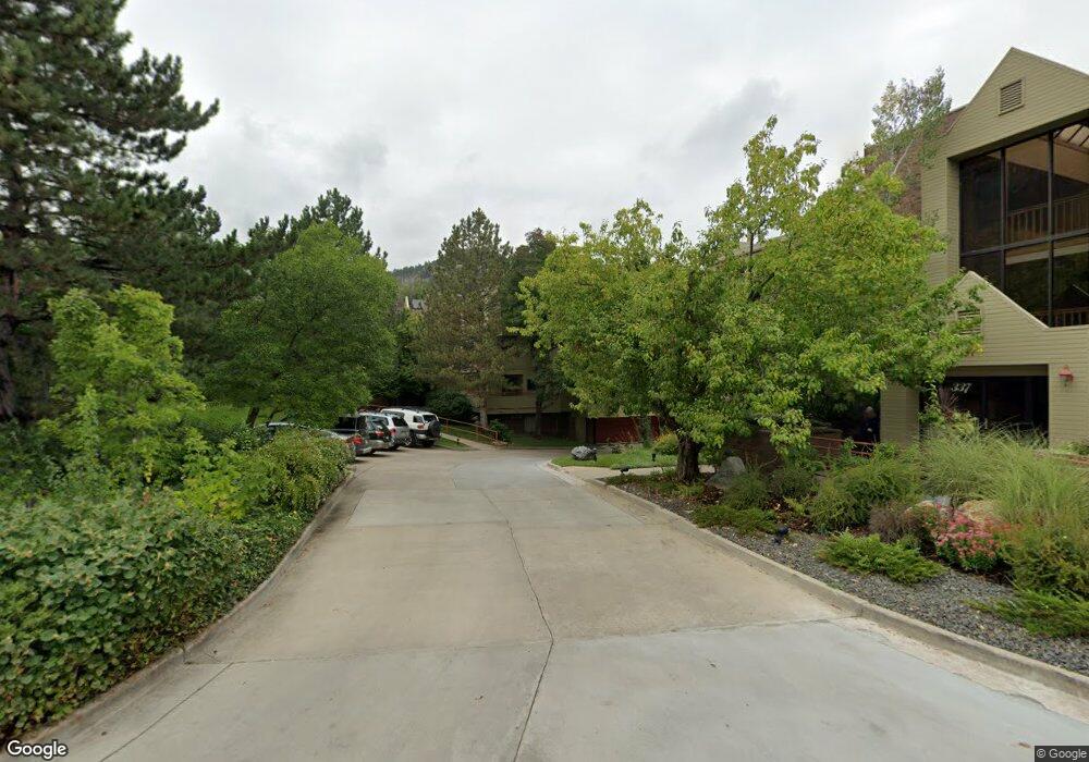
315 Arapahoe Ave Unit 301 Boulder, CO 80302
University Hill NeighborhoodEstimated Value: $942,390 - $1,135,000
2
Beds
2
Baths
1,572
Sq Ft
$633/Sq Ft
Est. Value
About This Home
This home is located at 315 Arapahoe Ave Unit 301, Boulder, CO 80302 and is currently estimated at $995,348, approximately $633 per square foot. 315 Arapahoe Ave Unit 301 is a home located in Boulder County with nearby schools including Flatirons Elementary School, Manhattan Middle School of the Arts & Academics, and Boulder High School.
Ownership History
Date
Name
Owned For
Owner Type
Purchase Details
Closed on
Sep 11, 2024
Sold by
Mather Timothy S
Bought by
Timothy S Mather Trust
Current Estimated Value
Purchase Details
Closed on
Jan 31, 2017
Sold by
Matheb Timothy S
Bought by
Timothy S Matheb
Purchase Details
Closed on
Jan 30, 2017
Sold by
Mathlr Timothy S
Bought by
Timothy S Mathlr Trut
Purchase Details
Closed on
Sep 6, 1988
Bought by
Mather Timothy S Trust
Purchase Details
Closed on
Nov 4, 1987
Bought by
Mather Timothy S Trust
Create a Home Valuation Report for This Property
The Home Valuation Report is an in-depth analysis detailing your home's value as well as a comparison with similar homes in the area
Home Values in the Area
Average Home Value in this Area
Purchase History
| Date | Buyer | Sale Price | Title Company |
|---|---|---|---|
| Timothy S Mather Trust | -- | Land Title | |
| Mather Timothy S | -- | Land Title | |
| Timothy S Matheb | -- | None Available | |
| Timothy S Mathlr Trut | -- | None Available | |
| Mather Timothy S Trust | $175,000 | -- | |
| Mather Timothy S Trust | -- | -- |
Source: Public Records
Tax History Compared to Growth
Tax History
| Year | Tax Paid | Tax Assessment Tax Assessment Total Assessment is a certain percentage of the fair market value that is determined by local assessors to be the total taxable value of land and additions on the property. | Land | Improvement |
|---|---|---|---|---|
| 2025 | $5,215 | $60,088 | -- | $60,088 |
| 2024 | $5,215 | $60,088 | -- | $60,088 |
| 2023 | $5,124 | $59,336 | -- | $63,021 |
| 2022 | $5,147 | $55,426 | $0 | $55,426 |
| 2021 | $4,908 | $57,021 | $0 | $57,021 |
| 2020 | $4,382 | $50,336 | $0 | $50,336 |
| 2019 | $4,314 | $50,336 | $0 | $50,336 |
| 2018 | $4,013 | $46,282 | $0 | $46,282 |
| 2017 | $3,887 | $51,167 | $0 | $51,167 |
| 2016 | $3,323 | $38,391 | $0 | $38,391 |
| 2015 | $3,147 | $36,321 | $0 | $36,321 |
| 2014 | $3,123 | $36,321 | $0 | $36,321 |
Source: Public Records
Map
Nearby Homes
- 358 Arapahoe Ave Unit C
- 1628 4th St
- 377 Pearl St Unit 5
- 545 Pearl St
- 620 Pearl St Unit C
- 636 Marine St
- 505 Pine St
- 613 Pine St
- 780 Walnut St Unit A
- 820 Pearl St
- 5228 Sunshine Canyon Dr
- 3561 Sunshine Canyon Dr
- 604 Mapleton Ave
- 505 Geneva Ave
- 545 Mapleton Ave
- 944 Arapahoe Ave Unit A
- 643 Mapleton Ave
- 1006 6th St
- 934 Spruce St
- 1077 Canyon Blvd Unit 304
- 315 Arapahoe Ave Unit 304
- 315 Arapahoe Ave Unit 303
- 315 Arapahoe Ave Unit 302
- 315 Arapahoe Ave Unit 204
- 315 Arapahoe Ave Unit 203
- 315 Arapahoe Ave Unit 202
- 315 Arapahoe Ave Unit 201
- 315 Arapahoe Ave Unit 104
- 315 Arapahoe Ave Unit 103
- 315 Arapahoe Ave Unit 102
- 315 Arapahoe Ave Unit 101
- 337 Arapahoe Ave Unit 304
- 337 Arapahoe Ave Unit 302
- 337 Arapahoe Ave Unit 301
- 337 Arapahoe Ave Unit 204
- 337 Arapahoe Ave Unit 203
- 337 Arapahoe Ave Unit 202
- 337 Arapahoe Ave Unit 201
- 337 Arapahoe Ave Unit 104
- 337 Arapahoe Ave Unit 103