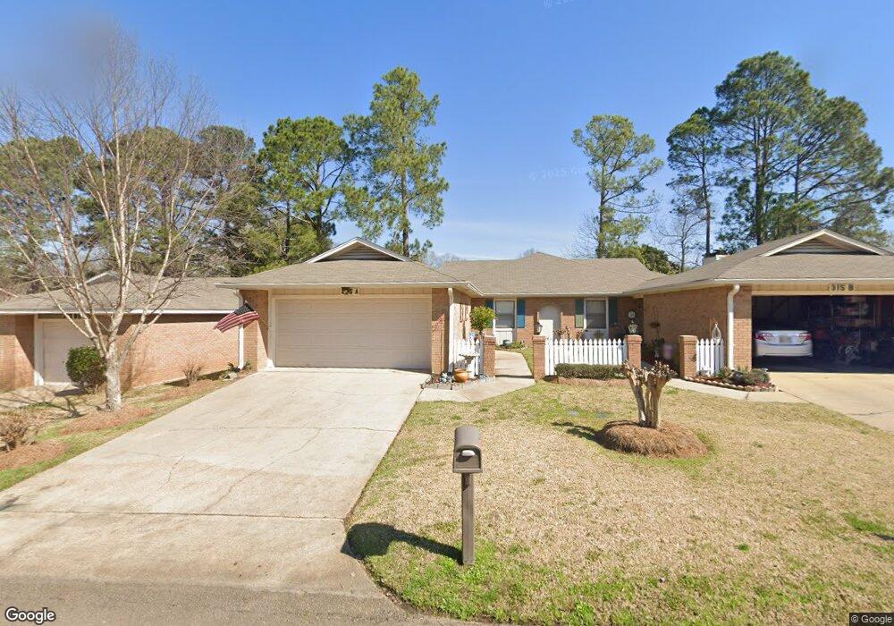
315 Avondale Dr Unit A Clinton, MS 39056
Estimated Value: $183,419 - $219,000
2
Beds
2
Baths
1,222
Sq Ft
$165/Sq Ft
Est. Value
About This Home
This home is located at 315 Avondale Dr Unit A, Clinton, MS 39056 and is currently estimated at $201,855, approximately $165 per square foot. 315 Avondale Dr Unit A is a home located in Hinds County with nearby schools including Clinton Park Elementary School, Eastside Elementary School, and Northside Elementary School.
Create a Home Valuation Report for This Property
The Home Valuation Report is an in-depth analysis detailing your home's value as well as a comparison with similar homes in the area
Home Values in the Area
Average Home Value in this Area
Tax History Compared to Growth
Tax History
| Year | Tax Paid | Tax Assessment Tax Assessment Total Assessment is a certain percentage of the fair market value that is determined by local assessors to be the total taxable value of land and additions on the property. | Land | Improvement |
|---|---|---|---|---|
| 2025 | $138 | $8,398 | $2,000 | $6,398 |
| 2024 | $138 | $8,398 | $2,000 | $6,398 |
| 2023 | $138 | $8,398 | $2,000 | $6,398 |
| 2022 | $1,277 | $8,398 | $2,000 | $6,398 |
| 2021 | $137 | $8,398 | $2,000 | $6,398 |
| 2020 | $121 | $8,301 | $2,000 | $6,301 |
| 2019 | $123 | $8,301 | $2,000 | $6,301 |
| 2018 | $123 | $8,301 | $2,000 | $6,301 |
| 2017 | $119 | $8,301 | $2,000 | $6,301 |
| 2016 | $119 | $8,301 | $2,000 | $6,301 |
| 2015 | $106 | $8,220 | $2,000 | $6,220 |
| 2014 | $106 | $8,220 | $2,000 | $6,220 |
Source: Public Records
Map
Nearby Homes
- 1200 Canterbury Ln
- 1213 Foxhill Dr
- 00002 E Northside Dr
- 102 Friars Cove
- 00001 E Northside Dr
- 1219 Canterbury Ln
- 1221 Huntcliff Way
- 605 Herndon Hill
- 908 Live Oak Dr
- 809 Normandy Dr
- 0 Monroe St
- 0 Lakeridge Cove Unit 4130731
- 0 Vernon Rd Unit 4128562
- 1203 Rockingham Dr
- 1011 Laurelwood Dr
- 1200 Tanglewood Dr
- 532 Bellevue St
- 1301 Beverly Dr
- 1609 Linda Dr SW
- 835 Post Rd
- 315 Avondale Dr
- 315 Avondale Dr
- 315 Avondale Dr
- 315 Avondale Dr Unit A
- 313 Avondale Dr
- 313B Avondale Dr
- 317 Avondale Dr Unit A
- 317 Avondale Dr
- 311 Avondale Dr
- 311 Avondale Dr Unit A
- 317 Avondale Dr
- 317 Avondale Dr
- 311 Avondale Dr
- 319 Avondale Dr
- 208 Hampton St
- 300 Hampton St
- 302 Hampton St
- 319B Avondale Dr
- 314 Avondale Dr
- 312 Avondale Dr