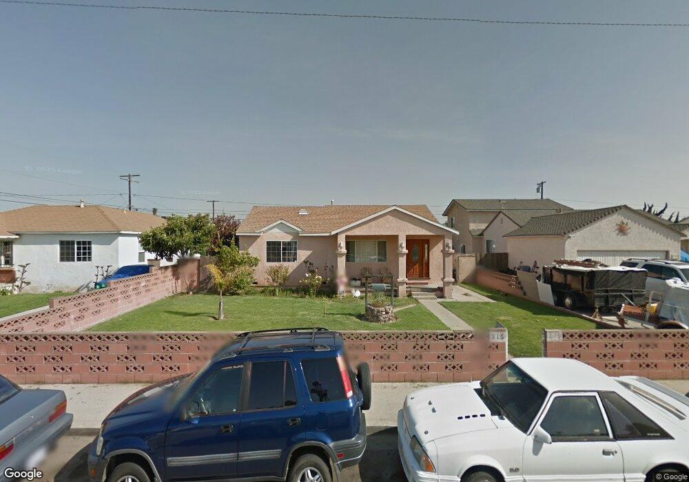
315 E Guava St Oxnard, CA 93033
Cal-Gisler NeighborhoodEstimated Value: $543,000 - $653,000
3
Beds
1
Bath
1,032
Sq Ft
$587/Sq Ft
Est. Value
About This Home
This home is located at 315 E Guava St, Oxnard, CA 93033 and is currently estimated at $606,182, approximately $587 per square foot. 315 E Guava St is a home located in Ventura County with nearby schools including Elm Street Elementary School, R.J. Frank Academy of Marine Science & Engineering, and Santa Clara High School.
Ownership History
Date
Name
Owned For
Owner Type
Purchase Details
Closed on
Jul 22, 1998
Sold by
Flavio Martinez and Flavio Norma A
Bought by
Martinez Flavio and Martinez Norma A
Current Estimated Value
Create a Home Valuation Report for This Property
The Home Valuation Report is an in-depth analysis detailing your home's value as well as a comparison with similar homes in the area
Home Values in the Area
Average Home Value in this Area
Purchase History
| Date | Buyer | Sale Price | Title Company |
|---|---|---|---|
| Martinez Flavio | -- | -- |
Source: Public Records
Tax History
| Year | Tax Paid | Tax Assessment Tax Assessment Total Assessment is a certain percentage of the fair market value that is determined by local assessors to be the total taxable value of land and additions on the property. | Land | Improvement |
|---|---|---|---|---|
| 2025 | $2,685 | $225,759 | $89,149 | $136,610 |
| 2024 | $2,685 | $221,333 | $87,401 | $133,932 |
| 2023 | $2,586 | $216,994 | $85,688 | $131,306 |
| 2022 | $2,508 | $212,740 | $84,008 | $128,732 |
| 2021 | $2,486 | $208,569 | $82,361 | $126,208 |
| 2020 | $2,531 | $206,432 | $81,517 | $124,915 |
| 2019 | $2,459 | $202,385 | $79,919 | $122,466 |
| 2018 | $2,423 | $198,417 | $78,352 | $120,065 |
| 2017 | $2,299 | $194,527 | $76,816 | $117,711 |
| 2016 | $2,218 | $190,713 | $75,310 | $115,403 |
| 2015 | $2,240 | $187,850 | $74,180 | $113,670 |
| 2014 | $2,214 | $184,173 | $72,728 | $111,445 |
Source: Public Records
Map
Nearby Homes
- 225 W Iris St
- 1239 S C St
- 2024 S J St
- 3151 Fournier St
- 3130 Paula St
- 1127 S C St
- 865 S B St Unit Q1
- 819 S B St Unit 34
- 3631 La Costa Place
- 2151 E Wooley Rd
- 3638 S B St
- 633 Meta St
- 1030 Ilena St
- 860 Morro Way
- 360 Ibsen Place Unit 129
- 140 Gaviota Place Unit 157
- 1928 San Benito St
- 1431 Casa San Carlos Ln Unit B
- 1140 Teakwood St
- 775 Thayer Ln
Your Personal Tour Guide
Ask me questions while you tour the home.