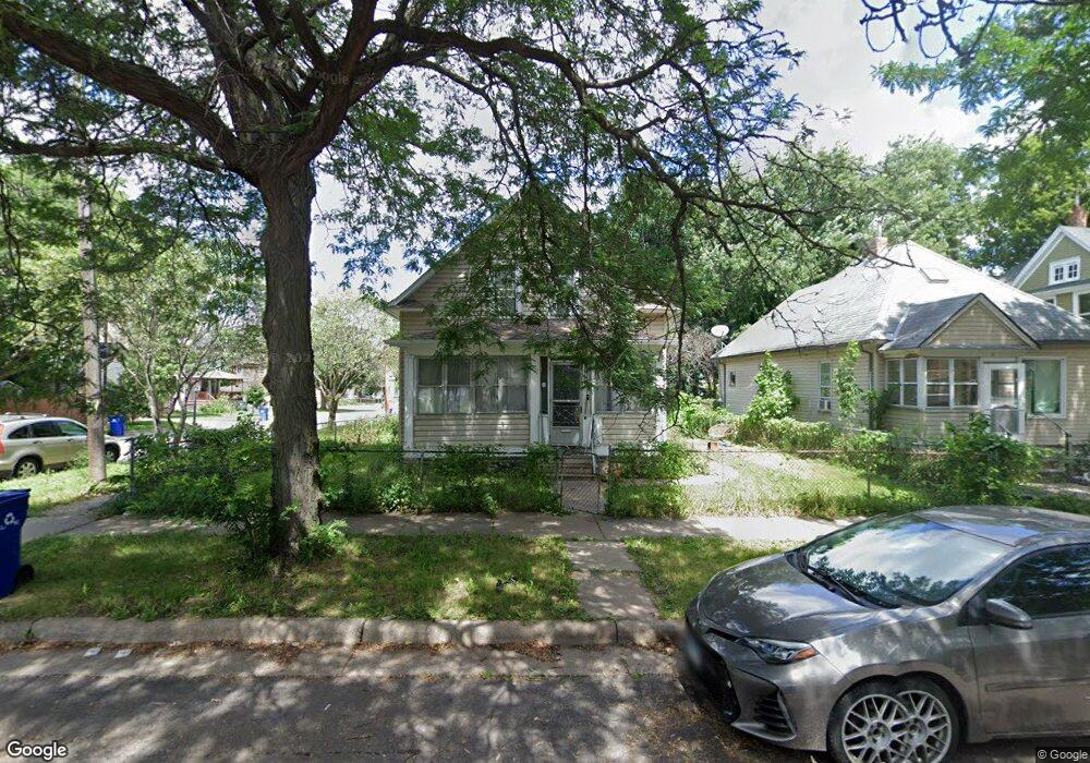
315 Lafond Ave Saint Paul, MN 55103
Frogtown NeighborhoodEstimated Value: $218,000 - $274,000
3
Beds
2
Baths
1,344
Sq Ft
$178/Sq Ft
Est. Value
About This Home
This home is located at 315 Lafond Ave, Saint Paul, MN 55103 and is currently estimated at $239,274, approximately $178 per square foot. 315 Lafond Ave is a home located in Ramsey County with nearby schools including Maxfield Magnet Elementary School, Hidden River Middle School, and Central Senior High School.
Ownership History
Date
Name
Owned For
Owner Type
Purchase Details
Closed on
Dec 8, 2017
Sold by
Yang Dao and Vang Zer
Bought by
Yang Dao and Vang Zer
Current Estimated Value
Home Financials for this Owner
Home Financials are based on the most recent Mortgage that was taken out on this home.
Original Mortgage
$86,000
Outstanding Balance
$72,404
Interest Rate
3.94%
Mortgage Type
New Conventional
Estimated Equity
$166,870
Purchase Details
Closed on
May 24, 2013
Sold by
Yang Kabo
Bought by
Yang Dao
Create a Home Valuation Report for This Property
The Home Valuation Report is an in-depth analysis detailing your home's value as well as a comparison with similar homes in the area
Home Values in the Area
Average Home Value in this Area
Purchase History
| Date | Buyer | Sale Price | Title Company |
|---|---|---|---|
| Yang Dao | -- | Pillar Title Services | |
| Yang Dao | $48,000 | Global Closing & Title Svcs |
Source: Public Records
Mortgage History
| Date | Status | Borrower | Loan Amount |
|---|---|---|---|
| Open | Yang Dao | $86,000 |
Source: Public Records
Tax History
| Year | Tax Paid | Tax Assessment Tax Assessment Total Assessment is a certain percentage of the fair market value that is determined by local assessors to be the total taxable value of land and additions on the property. | Land | Improvement |
|---|---|---|---|---|
| 2025 | $3,046 | $218,600 | $25,000 | $193,600 |
| 2023 | $3,046 | $191,200 | $20,000 | $171,200 |
| 2022 | $2,600 | $182,000 | $20,000 | $162,000 |
| 2021 | $2,400 | $157,300 | $20,000 | $137,300 |
| 2020 | $2,404 | $150,300 | $12,700 | $137,600 |
| 2019 | $2,136 | $139,900 | $12,700 | $127,200 |
| 2018 | $1,736 | $122,100 | $12,700 | $109,400 |
| 2017 | $1,326 | $95,400 | $12,700 | $82,700 |
| 2016 | $1,146 | $0 | $0 | $0 |
| 2015 | $900 | $66,300 | $12,700 | $53,600 |
| 2014 | $652 | $0 | $0 | $0 |
Source: Public Records
Map
Nearby Homes
- 324 Van Buren Ave
- 597 Virginia St
- 578 Elfelt St
- 697 Virginia St
- 328 Edmund Ave
- 395 Thomas Ave
- 401 Lafond Ave
- 562 Western Ave N
- 351 Sherburne Ave
- 446 Virginia St
- 370 Atwater St W
- 511 Edmund Ave W
- 366 Topping St
- 227 Fuller Ave
- 534 Thomas Ave
- 320 Fuller Ave
- 326 Fuller Ave
- 547 Blair Ave
- 821 Hardenbergh Place
- 469 Como Ave
- 311 Lafond Ave
- 305 Lafond Ave
- 646 Farrington St
- 321 Lafond Ave
- 632 Farrington St
- 323 Lafond Ave
- 301 Lafond Ave
- 302 Lafond Ave
- 645 Farrington St
- 626 Farrington St
- 316 Blair Ave
- 331 Lafond Ave
- 306 Blair Ave
- 624 Farrington St
- 643 Elfelt St
- 296 Lafond Ave
- 326 Lafond Ave
- 285 Lafond Ave
- 627 Farrington St
- 300 Blair Ave
Your Personal Tour Guide
Ask me questions while you tour the home.