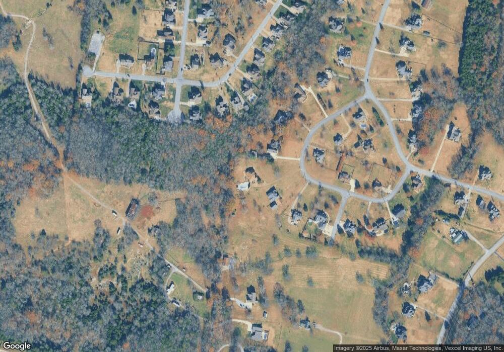
315 Michael Cir Mount Juliet, TN 37122
Estimated Value: $877,087 - $1,162,000
--
Bed
4
Baths
3,625
Sq Ft
$275/Sq Ft
Est. Value
About This Home
This home is located at 315 Michael Cir, Mount Juliet, TN 37122 and is currently estimated at $995,272, approximately $274 per square foot. 315 Michael Cir is a home located in Wilson County with nearby schools including West Elementary School, West Wilson Middle School, and Mt. Juliet High School.
Ownership History
Date
Name
Owned For
Owner Type
Purchase Details
Closed on
Sep 27, 2013
Sold by
Whittaker Angela
Bought by
Kieser Eric W and Kieser Linda W
Current Estimated Value
Home Financials for this Owner
Home Financials are based on the most recent Mortgage that was taken out on this home.
Original Mortgage
$416,947
Outstanding Balance
$313,669
Interest Rate
4.53%
Mortgage Type
VA
Estimated Equity
$681,603
Purchase Details
Closed on
Dec 14, 2010
Sold by
Neville Thomas J
Bought by
Whittaker Angela
Home Financials for this Owner
Home Financials are based on the most recent Mortgage that was taken out on this home.
Original Mortgage
$296,000
Interest Rate
4.42%
Purchase Details
Closed on
Jul 30, 2004
Sold by
Jane Burton Mary
Bought by
Neville Thomas J
Purchase Details
Closed on
May 31, 2001
Bought by
Burton Mary Jane and Burton Martha A
Create a Home Valuation Report for This Property
The Home Valuation Report is an in-depth analysis detailing your home's value as well as a comparison with similar homes in the area
Home Values in the Area
Average Home Value in this Area
Purchase History
| Date | Buyer | Sale Price | Title Company |
|---|---|---|---|
| Kieser Eric W | $486,000 | -- | |
| Whittaker Angela | $370,000 | -- | |
| Neville Thomas J | $54,608 | -- | |
| Burton Mary Jane | $40,500 | -- |
Source: Public Records
Mortgage History
| Date | Status | Borrower | Loan Amount |
|---|---|---|---|
| Open | Kieser Eric W | $416,947 | |
| Previous Owner | Whittaker Angela | $296,000 | |
| Previous Owner | Whittaker Angela | $36,630 |
Source: Public Records
Tax History Compared to Growth
Tax History
| Year | Tax Paid | Tax Assessment Tax Assessment Total Assessment is a certain percentage of the fair market value that is determined by local assessors to be the total taxable value of land and additions on the property. | Land | Improvement |
|---|---|---|---|---|
| 2024 | $2,709 | $141,925 | $18,750 | $123,175 |
| 2022 | $2,709 | $141,925 | $18,750 | $123,175 |
| 2021 | $2,709 | $141,925 | $18,750 | $123,175 |
| 2020 | $2,950 | $141,925 | $18,750 | $123,175 |
| 2019 | $2,950 | $117,125 | $18,750 | $98,375 |
| 2018 | $2,950 | $117,125 | $18,750 | $98,375 |
| 2017 | $2,950 | $117,125 | $18,750 | $98,375 |
| 2016 | $2,950 | $117,125 | $18,750 | $98,375 |
| 2015 | $3,011 | $117,125 | $18,750 | $98,375 |
| 2014 | $2,557 | $99,474 | $0 | $0 |
Source: Public Records
Map
Nearby Homes
- 222 Ridgewater Way
- 238 Ridgewater Way
- 817 Burton Point Rd
- 430 Northern Rd
- 0 Pointview Cir
- 1 Cooks Rd
- 910 Knollwood Landing
- 159 Emeline Way
- 157 Emeline Way
- 156 Emeline Way
- 155 Emeline Way
- 854 Arcadia Pass
- 154 Emeline Way
- 153 Emeline Way
- 2154 Houston Bend
- 152 Emeline Way
- 151 Emeline Way
- 149 Emeline Way
- 146 Emeline Way
- 147 Emeline Way
- 313 Michael Cir
- 317 Michael Cir
- 311 Michael Cir
- 319 Michael Cir
- 304 Michael Cir
- 595 Butternut Trail
- 400 Leslie Way
- 597 Butternut Trail
- 417 Rodney Way
- 593 Butternut Trail
- 306 Michael Cir
- 321 Michael Cir
- 402 Leslie Way
- 0 Leslie Way
- 596 Butternut Trail
- 302 Michael Cir
- 415 Rodney Way
- 591 Butternut Trail
- 401 Leslie Way
- 589 Butternut Trail
