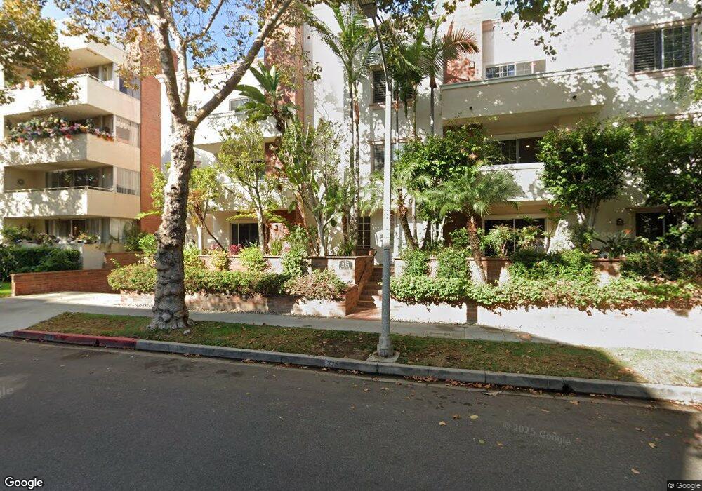
315 N Swall Dr Unit 201 Beverly Hills, CA 90211
Estimated Value: $1,268,515 - $1,690,000
2
Beds
3
Baths
1,583
Sq Ft
$915/Sq Ft
Est. Value
About This Home
This home is located at 315 N Swall Dr Unit 201, Beverly Hills, CA 90211 and is currently estimated at $1,448,129, approximately $914 per square foot. 315 N Swall Dr Unit 201 is a home located in Los Angeles County with nearby schools including Horace Mann Elementary School, Beverly Hills High School, and Harkham Hillel Hebrew Academy.
Ownership History
Date
Name
Owned For
Owner Type
Purchase Details
Closed on
Jul 2, 2018
Sold by
Resnick Steven L
Bought by
Resnick Steven L and Resnick Sheelah M
Current Estimated Value
Purchase Details
Closed on
Sep 10, 1998
Sold by
315 N Swall Llc
Bought by
Resnick Steven L
Home Financials for this Owner
Home Financials are based on the most recent Mortgage that was taken out on this home.
Original Mortgage
$327,200
Outstanding Balance
$69,834
Interest Rate
6.89%
Estimated Equity
$1,378,295
Create a Home Valuation Report for This Property
The Home Valuation Report is an in-depth analysis detailing your home's value as well as a comparison with similar homes in the area
Home Values in the Area
Average Home Value in this Area
Purchase History
| Date | Buyer | Sale Price | Title Company |
|---|---|---|---|
| Resnick Steven L | -- | None Available | |
| Resnick Steven L | $409,000 | Stewart Title Company |
Source: Public Records
Mortgage History
| Date | Status | Borrower | Loan Amount |
|---|---|---|---|
| Open | Resnick Steven L | $327,200 |
Source: Public Records
Tax History Compared to Growth
Tax History
| Year | Tax Paid | Tax Assessment Tax Assessment Total Assessment is a certain percentage of the fair market value that is determined by local assessors to be the total taxable value of land and additions on the property. | Land | Improvement |
|---|---|---|---|---|
| 2025 | $7,248 | $611,389 | $274,342 | $337,047 |
| 2024 | $7,248 | $599,402 | $268,963 | $330,439 |
| 2023 | $7,120 | $587,650 | $263,690 | $323,960 |
| 2022 | $6,917 | $576,128 | $258,520 | $317,608 |
| 2021 | $6,706 | $564,832 | $253,451 | $311,381 |
| 2019 | $6,511 | $548,082 | $245,935 | $302,147 |
| 2018 | $6,260 | $537,336 | $241,113 | $296,223 |
| 2016 | $5,994 | $516,472 | $231,751 | $284,721 |
| 2015 | $5,739 | $508,715 | $228,270 | $280,445 |
| 2014 | $5,555 | $498,751 | $223,799 | $274,952 |
Source: Public Records
Map
Nearby Homes
- 300 N Swall Dr Unit 307
- 300 N Swall Dr Unit 106
- 300 N Swall Dr Unit 305
- 300 N Swall Dr Unit 452
- 300 N Swall Dr Unit 308
- 300 N Swall Dr Unit 354
- 300 N Swall Dr Unit 353
- 303 N Swall Dr
- 315 N Swall Dr Unit 103
- 8800 Burton Way
- 8871 Burton Way Unit 305
- 435 Arnaz Dr Unit 304
- 325 S Swall Dr Unit 401
- 138 N Swall Dr
- Residence 108 Plan at Delyla
- Residence 106 Plan at Delyla
- 411 S Hamel Rd Unit 308
- 411 S Hamel Rd Unit 106
- 411 S Hamel Rd Unit 310
- 411 S Hamel Rd Unit 205
- 315 N Swall Dr Unit 305
- 315 N Swall Dr Unit 304
- 315 N Swall Dr Unit 303
- 315 N Swall Dr Unit 302
- 315 N Swall Dr Unit 301
- 315 N Swall Dr Unit 202
- 315 N Swall Dr Unit 102
- 315 N Swall Dr Unit 101
- 315 N Swall Unit 202
- 325 N Swall Dr Unit 202
- 329 N Swall Dr
- 303 N Swall Dr Unit 104
- 303 N Swall Dr Unit 304
- 303 N Swall Dr Unit 301
- 308 N La Peer Dr
- 310 N La Peer Dr
- 302 N La Peer Dr
- 8918 Burton Way
- 334 N La Peer Dr
- 8924 Burton Way