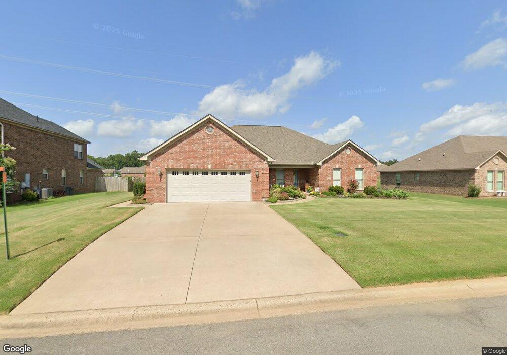
315 Pointe West Dr Conway, AR 72034
Estimated Value: $348,492 - $371,000
Studio
2
Baths
2,271
Sq Ft
$159/Sq Ft
Est. Value
About This Home
This home is located at 315 Pointe West Dr, Conway, AR 72034 and is currently estimated at $361,623, approximately $159 per square foot. 315 Pointe West Dr is a home located in Faulkner County with nearby schools including Woodrow Cummins Elementary School, Ruth Doyle Intermediate School, and Conway Junior High School.
Ownership History
Date
Name
Owned For
Owner Type
Purchase Details
Closed on
Jan 15, 2016
Sold by
Lacewell Leland K and Lacewell Evelyn A
Bought by
Milligan Douglas W and Milligan Shere A
Current Estimated Value
Purchase Details
Closed on
May 27, 2009
Bought by
Lacewell
Home Financials for this Owner
Home Financials are based on the most recent Mortgage that was taken out on this home.
Original Mortgage
$26,273
Interest Rate
4.76%
Mortgage Type
Future Advance Clause Open End Mortgage
Purchase Details
Closed on
Jan 13, 2009
Bought by
Hawks Trust
Create a Home Valuation Report for This Property
The Home Valuation Report is an in-depth analysis detailing your home's value as well as a comparison with similar homes in the area
Home Values in the Area
Average Home Value in this Area
Purchase History
| Date | Buyer | Sale Price | Title Company |
|---|---|---|---|
| Milligan Douglas W | $206,000 | Faulkner County Title Co Inc | |
| Lacewell | $22,000 | -- | |
| Lacewell Leland K | $22,000 | None Available | |
| Hawks Trust | -- | -- |
Source: Public Records
Mortgage History
| Date | Status | Borrower | Loan Amount |
|---|---|---|---|
| Previous Owner | Lacewell Leland K | $26,273 |
Source: Public Records
Tax History
| Year | Tax Paid | Tax Assessment Tax Assessment Total Assessment is a certain percentage of the fair market value that is determined by local assessors to be the total taxable value of land and additions on the property. | Land | Improvement |
|---|---|---|---|---|
| 2025 | $1,975 | $66,880 | $6,800 | $60,080 |
| 2024 | $1,975 | $66,880 | $6,800 | $60,080 |
| 2023 | $1,975 | $49,280 | $6,800 | $42,480 |
| 2022 | $1,600 | $49,280 | $6,800 | $42,480 |
| 2021 | $1,600 | $49,280 | $6,800 | $42,480 |
| 2020 | $1,975 | $42,860 | $4,760 | $38,100 |
| 2019 | $1,975 | $42,860 | $4,760 | $38,100 |
| 2018 | $1,625 | $42,860 | $4,760 | $38,100 |
| 2017 | $1,625 | $42,280 | $4,760 | $37,520 |
| 2016 | $1,625 | $39,040 | $4,760 | $34,280 |
| 2015 | $1,975 | $39,040 | $4,760 | $34,280 |
| 2014 | $1,932 | $39,040 | $4,760 | $34,280 |
Source: Public Records
Map
Nearby Homes
- 335 Vintage Cove
- 4725 Prince St
- 4695 College Ave
- 760 Bristol Ln
- 4575 Prince St Lot 2ar
- 5 Westin Dr
- 4655 Hawkins Dr
- 1015 Champions Dr
- 5215 Clayborn
- 27 Westin Dr
- 134 Eve Ln
- Lot 2 Goddard Addition Hogan Ln
- 650 Hogan Ln
- 4465 Oregon Trail
- 332 Bear Trail
- 4440 Oregon Trail
- 820 Hogan Ln
- 2925 Orchard View Dr
- 2915 Orchard View Dr
- 4025 Dave Ward Dr
- 315 Point West Dr
- 305 Pointe West Dr
- 325 Pointe West Dr
- 305 Point Dr W
- 310 Pointe West Dr
- 4965 Westin Park Dr
- 0 Point W Unit 15030455
- 0 Point W Unit 16001467
- 335 Pointe West Dr
- 5040 Prestonwood Rd
- 5015 Prestonwood Rd
- 5105 Galleria Cove
- 0 Westin Park Unit 17016857
- 0 Westin Park Unit 17034237
- 5100 Prestonwood Rd
- 4970 Westin Park Dr
- 345 Pointe West Dr
- 4955 Westin Park Dr
- 4960 Prestonwood Rd
- 4965 Prestonwood Rd
Your Personal Tour Guide
Ask me questions while you tour the home.