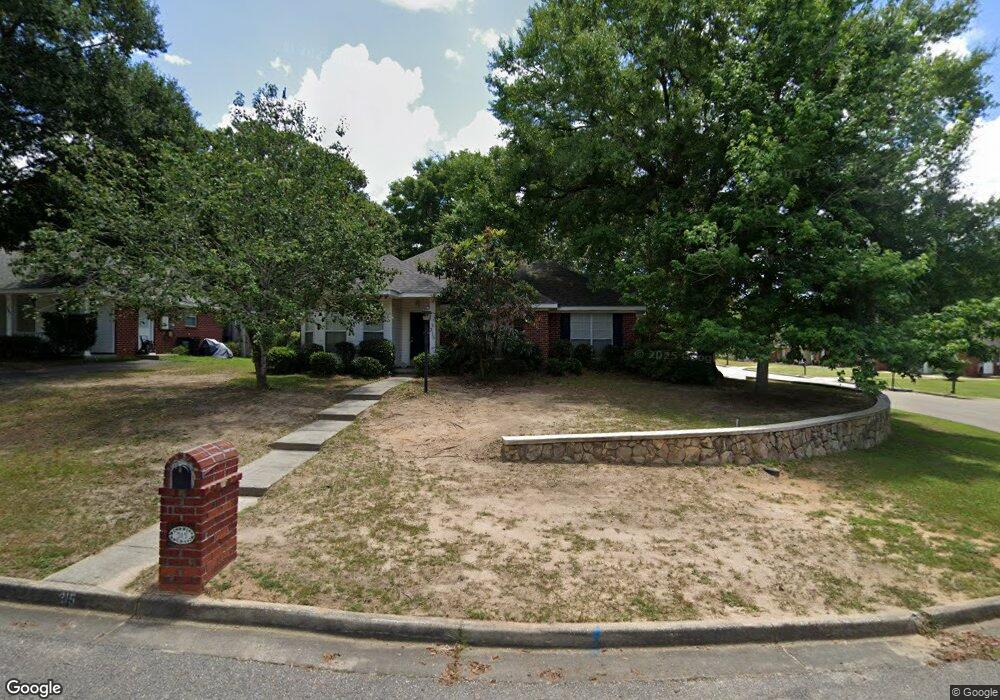
315 Portside Cir W Mobile, AL 36695
Sheldon NeighborhoodEstimated Value: $193,727 - $232,000
3
Beds
2
Baths
1,656
Sq Ft
$132/Sq Ft
Est. Value
About This Home
This home is located at 315 Portside Cir W, Mobile, AL 36695 and is currently estimated at $218,182, approximately $131 per square foot. 315 Portside Cir W is a home located in Mobile County with nearby schools including ER Dickson Elementary School, Bernice J Causey Middle School, and Baker High School.
Ownership History
Date
Name
Owned For
Owner Type
Purchase Details
Closed on
Feb 24, 2006
Sold by
Tillman Arnold L and Tillman Karrie F
Bought by
Baldwin Isabella M
Current Estimated Value
Home Financials for this Owner
Home Financials are based on the most recent Mortgage that was taken out on this home.
Original Mortgage
$60,000
Outstanding Balance
$33,669
Interest Rate
6.05%
Mortgage Type
Fannie Mae Freddie Mac
Estimated Equity
$184,513
Create a Home Valuation Report for This Property
The Home Valuation Report is an in-depth analysis detailing your home's value as well as a comparison with similar homes in the area
Home Values in the Area
Average Home Value in this Area
Purchase History
| Date | Buyer | Sale Price | Title Company |
|---|---|---|---|
| Baldwin Isabella M | $138,500 | Slt |
Source: Public Records
Mortgage History
| Date | Status | Borrower | Loan Amount |
|---|---|---|---|
| Open | Baldwin Isabella M | $60,000 |
Source: Public Records
Tax History Compared to Growth
Tax History
| Year | Tax Paid | Tax Assessment Tax Assessment Total Assessment is a certain percentage of the fair market value that is determined by local assessors to be the total taxable value of land and additions on the property. | Land | Improvement |
|---|---|---|---|---|
| 2024 | $1,536 | $14,960 | $3,200 | $11,760 |
| 2023 | $0 | $13,000 | $3,600 | $9,400 |
| 2022 | $0 | $11,390 | $3,000 | $8,390 |
| 2021 | $635 | $11,390 | $3,000 | $8,390 |
| 2020 | $635 | $11,630 | $3,000 | $8,630 |
| 2019 | $635 | $11,420 | $0 | $0 |
| 2018 | $0 | $11,640 | $0 | $0 |
| 2017 | $0 | $12,440 | $0 | $0 |
| 2016 | $635 | $13,100 | $0 | $0 |
| 2013 | $315 | $12,280 | $0 | $0 |
Source: Public Records
Map
Nearby Homes
- 230 Portside Cir W
- 390 Lakeview Dr W
- 404 Lakeview Dr W
- 422 Cody Rd S
- 660 Spring Lake Ct
- 7354 Willow Pointe Dr N
- 726 Willow Springs Dr
- 715 Red Willow Ct
- 22 Stonebridge Ct
- 730 Pine Run Rd
- 7056 Stonebridge Ct
- 12 Stonebridge Ct
- 0 1st St
- 0 1st St Unit 7617566
- 0 4th Ave Unit 7681281
- 0 Monk Ave
- 7183 Pine Barren Ct
- 0 2nd St Unit 7500313
- 0 2nd St Unit 7500310
- 0 Barnes Ave
- 305 Portside Cir W
- 320 Portside Blvd
- 7461 Portside Cir S
- 310 Portside Blvd
- 7471 Portside Cir S
- 330 Portside Cir W
- 310 Portside Cir W
- 320 Portside Cir W
- 7451 Portside Cir S
- 285 Portside Cir W
- 300 Portside Cir W
- 300 Portside Blvd
- 7441 Portside Cir S
- 290 Portside Cir W Unit 4
- 275 Portside Cir W
- 7400 Portside Cir S
- 280 Portside Cir W
- 7431 Portside Cir S
- 265 Portside Cir W
- 290 Portside Blvd