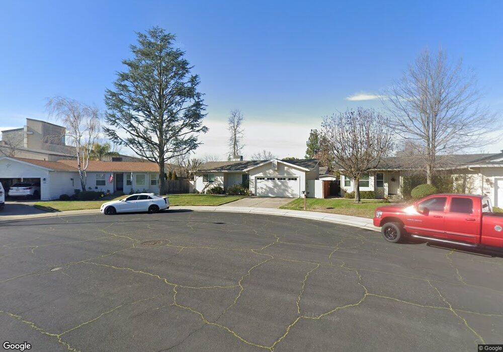
315 Shasta Dr Lodi, CA 95242
Sunwest NeighborhoodEstimated Value: $326,851 - $454,000
2
Beds
1
Bath
750
Sq Ft
$513/Sq Ft
Est. Value
About This Home
This home is located at 315 Shasta Dr, Lodi, CA 95242 and is currently estimated at $384,713, approximately $512 per square foot. 315 Shasta Dr is a home located in San Joaquin County with nearby schools including Erma B. Reese Elementary School, Millswood Middle School, and Lodi High School.
Ownership History
Date
Name
Owned For
Owner Type
Purchase Details
Closed on
Mar 7, 2016
Sold by
Jordan Joan E
Bought by
Jordan Joan E and The Jordan Revocable Trust
Current Estimated Value
Purchase Details
Closed on
Mar 23, 1994
Sold by
Rosenthal Richard
Bought by
Jordan Joan E
Home Financials for this Owner
Home Financials are based on the most recent Mortgage that was taken out on this home.
Original Mortgage
$94,451
Interest Rate
7.15%
Mortgage Type
FHA
Create a Home Valuation Report for This Property
The Home Valuation Report is an in-depth analysis detailing your home's value as well as a comparison with similar homes in the area
Home Values in the Area
Average Home Value in this Area
Purchase History
| Date | Buyer | Sale Price | Title Company |
|---|---|---|---|
| Jordan Joan E | -- | None Available | |
| Jordan Joan E | $94,000 | Chicago Title Company |
Source: Public Records
Mortgage History
| Date | Status | Borrower | Loan Amount |
|---|---|---|---|
| Closed | Jordan Joan E | $94,451 |
Source: Public Records
Tax History
| Year | Tax Paid | Tax Assessment Tax Assessment Total Assessment is a certain percentage of the fair market value that is determined by local assessors to be the total taxable value of land and additions on the property. | Land | Improvement |
|---|---|---|---|---|
| 2025 | $1,667 | $159,728 | $76,466 | $83,262 |
| 2024 | $1,620 | $156,597 | $74,967 | $81,630 |
| 2023 | $1,600 | $153,528 | $73,498 | $80,030 |
| 2022 | $1,562 | $150,518 | $72,057 | $78,461 |
| 2021 | $1,589 | $147,568 | $70,645 | $76,923 |
| 2020 | $1,547 | $146,056 | $69,921 | $76,135 |
| 2019 | $1,515 | $143,193 | $68,550 | $74,643 |
| 2018 | $1,492 | $140,386 | $67,206 | $73,180 |
| 2017 | $1,458 | $137,635 | $65,889 | $71,746 |
| 2016 | $1,365 | $134,938 | $64,598 | $70,340 |
| 2015 | $1,350 | $132,910 | $63,627 | $69,283 |
| 2014 | $1,331 | $130,307 | $62,381 | $67,926 |
Source: Public Records
Map
Nearby Homes
- 2019 Debbie Ln
- 1618 W Locust St
- 2127 Oxford Way
- 2414 Modoc Way
- 527 Cross St
- 1501 Mariposa Way
- 1424 Graffigna Ave
- 1427 Reiman St
- 1421 Graffigna Ave
- 2441 W Elm St
- 1416 Reiman St
- 18 Benson Dr
- 1507 Holly Dr
- 1413 Mariposa Way
- 842 Rutledge Dr
- 2416 W Turner Rd
- 2402 W Turner Rd
- 418 Gerard Dr
- 73 Reynolds Way
- 2410 Central Park Dr
Your Personal Tour Guide
Ask me questions while you tour the home.