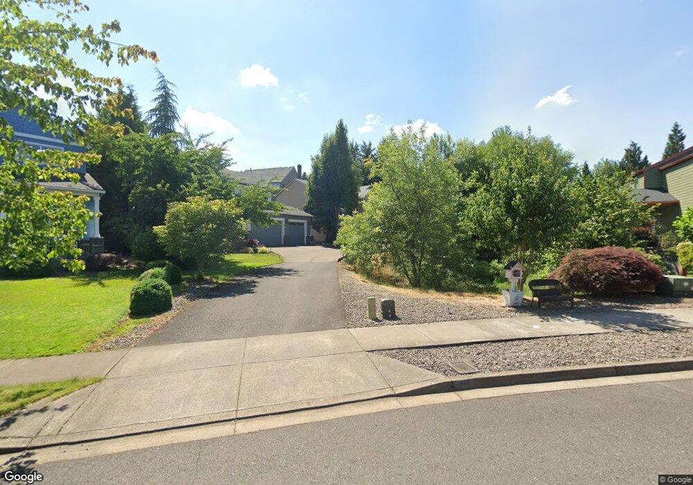
3162 Sabo Ln West Linn, OR 97068
Parker Crest NeighborhoodEstimated Value: $841,429 - $1,015,000
4
Beds
3
Baths
3,198
Sq Ft
$289/Sq Ft
Est. Value
About This Home
This home is located at 3162 Sabo Ln, West Linn, OR 97068 and is currently estimated at $922,857, approximately $288 per square foot. 3162 Sabo Ln is a home located in Clackamas County with nearby schools including Sunset Primary School, Rosemont Ridge Middle School, and West Linn High School.
Ownership History
Date
Name
Owned For
Owner Type
Purchase Details
Closed on
May 3, 2013
Sold by
Maust Trey C and Maust Elizabeth A
Bought by
Brennock Stephen J
Current Estimated Value
Home Financials for this Owner
Home Financials are based on the most recent Mortgage that was taken out on this home.
Original Mortgage
$417,000
Outstanding Balance
$294,878
Interest Rate
3.51%
Mortgage Type
New Conventional
Estimated Equity
$627,979
Purchase Details
Closed on
Mar 5, 2004
Sold by
Centex Homes
Bought by
Maust Trey C and Maust Elizabeth A
Home Financials for this Owner
Home Financials are based on the most recent Mortgage that was taken out on this home.
Original Mortgage
$278,184
Interest Rate
3.75%
Mortgage Type
Purchase Money Mortgage
Create a Home Valuation Report for This Property
The Home Valuation Report is an in-depth analysis detailing your home's value as well as a comparison with similar homes in the area
Home Values in the Area
Average Home Value in this Area
Purchase History
| Date | Buyer | Sale Price | Title Company |
|---|---|---|---|
| Brennock Stephen J | $441,000 | First American | |
| Maust Trey C | $347,731 | First American Title Insuran |
Source: Public Records
Mortgage History
| Date | Status | Borrower | Loan Amount |
|---|---|---|---|
| Open | Brennock Stephen J | $417,000 | |
| Previous Owner | Maust Trey C | $278,184 | |
| Closed | Maust Trey C | $52,159 |
Source: Public Records
Tax History Compared to Growth
Tax History
| Year | Tax Paid | Tax Assessment Tax Assessment Total Assessment is a certain percentage of the fair market value that is determined by local assessors to be the total taxable value of land and additions on the property. | Land | Improvement |
|---|---|---|---|---|
| 2025 | $10,072 | $522,627 | -- | -- |
| 2024 | $9,695 | $507,405 | -- | -- |
| 2023 | $9,695 | $492,627 | $0 | $0 |
| 2022 | $9,151 | $478,279 | $0 | $0 |
| 2021 | $8,452 | $464,349 | $0 | $0 |
| 2020 | $8,392 | $450,825 | $0 | $0 |
| 2019 | $8,021 | $437,695 | $0 | $0 |
| 2018 | $7,647 | $424,947 | $0 | $0 |
| 2017 | $7,399 | $412,570 | $0 | $0 |
| 2016 | $7,098 | $400,553 | $0 | $0 |
| 2015 | $6,770 | $388,886 | $0 | $0 |
| 2014 | $6,387 | $377,559 | $0 | $0 |
Source: Public Records
Map
Nearby Homes
- 3296 Nomie Way
- 3115 Sabo Ln
- 3249 Wild Rose Loop
- 3496 Chaparrel Loop
- 3933 Parker Rd
- 2762 Dahlia Dr
- 2625 Beacon Hill Dr
- 2650 Lorinda Ln
- 4057 Heron Dr
- 20349 Noble Ln
- 3492 Vista Ridge Dr
- 2025 De Vries Way
- 20322 Noble Ln
- 1470 Rosemont Rd
- 22987 Bland Cir
- 20111 Hoodview Ave
- 22872 Weatherhill Rd
- 4194 Cornwall St
- 4192 Cornwall St
- 4190 Cornwall St
- 3150 Sabo Ln
- 3180 Sabo Ln
- 22310 Ponderay Dr
- 3148 Sabo Ln
- 3188 Sabo Ln
- 22340 Ponderay Dr
- 3206 Wild Rose Loop
- 22421 Mckenzie Ct
- 22401 Mckenzie Ct
- 22315 Ponderay Dr
- 3212 Wild Rose Loop
- 22355 Ponderay Dr
- 3603 Wild Rose Loop
- 3200 Sabo Ln
- 3124 Sabo Ln
- 22430 Ponderay Dr
- 3218 Wild Rose Loop
- 3292 Nomie Way
- 3607 Wild Rose Loop
- 3224 Wild Rose Loop