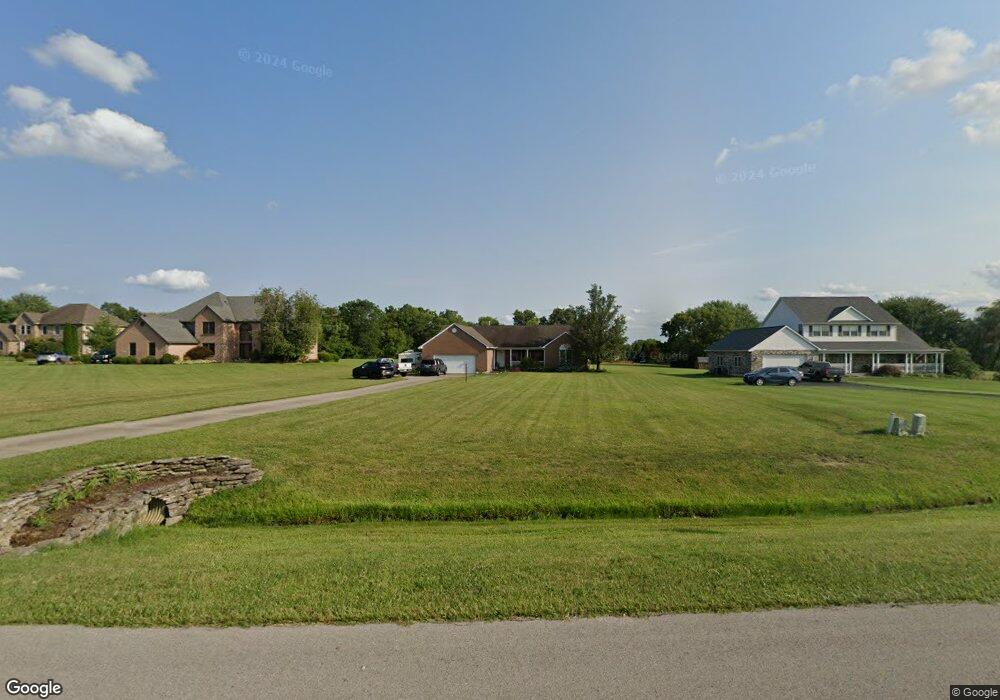
3167 Patrick Ct Franklin, OH 45005
Estimated Value: $435,000 - $485,000
3
Beds
2
Baths
1,948
Sq Ft
$236/Sq Ft
Est. Value
About This Home
This home is located at 3167 Patrick Ct, Franklin, OH 45005 and is currently estimated at $459,563, approximately $235 per square foot. 3167 Patrick Ct is a home located in Warren County with nearby schools including Clearcreek Elementary School, Dennis Elementary School, and Springboro Intermediate School.
Ownership History
Date
Name
Owned For
Owner Type
Purchase Details
Closed on
Dec 7, 2000
Sold by
Campbell Timothy
Bought by
Hopkins John P Lisa G
Current Estimated Value
Home Financials for this Owner
Home Financials are based on the most recent Mortgage that was taken out on this home.
Original Mortgage
$231,400
Outstanding Balance
$82,920
Interest Rate
8.25%
Mortgage Type
New Conventional
Estimated Equity
$376,643
Purchase Details
Closed on
Jan 24, 2000
Sold by
Howard Michael
Bought by
Wyco Consulting Inc
Create a Home Valuation Report for This Property
The Home Valuation Report is an in-depth analysis detailing your home's value as well as a comparison with similar homes in the area
Home Values in the Area
Average Home Value in this Area
Purchase History
| Date | Buyer | Sale Price | Title Company |
|---|---|---|---|
| Hopkins John P Lisa G | $188,000 | -- | |
| Wyco Consulting Inc | $38,900 | -- |
Source: Public Records
Mortgage History
| Date | Status | Borrower | Loan Amount |
|---|---|---|---|
| Open | Hopkins John P Lisa G | $231,400 |
Source: Public Records
Tax History
| Year | Tax Paid | Tax Assessment Tax Assessment Total Assessment is a certain percentage of the fair market value that is determined by local assessors to be the total taxable value of land and additions on the property. | Land | Improvement |
|---|---|---|---|---|
| 2025 | $4,723 | $127,260 | $42,580 | $84,680 |
| 2024 | $4,723 | $127,260 | $42,580 | $84,680 |
| 2023 | $4,003 | $99,421 | $24,314 | $75,106 |
| 2022 | $3,872 | $99,421 | $24,315 | $75,107 |
| 2021 | $3,580 | $99,421 | $24,315 | $75,107 |
| 2020 | $3,318 | $80,829 | $19,768 | $61,061 |
| 2019 | $3,336 | $80,829 | $19,768 | $61,061 |
| 2018 | $3,293 | $80,829 | $19,768 | $61,061 |
| 2017 | $3,213 | $70,004 | $16,902 | $53,102 |
| 2016 | $3,350 | $70,004 | $16,902 | $53,102 |
| 2015 | $3,358 | $70,004 | $16,902 | $53,102 |
| 2014 | $3,326 | $66,760 | $16,190 | $50,570 |
| 2013 | $3,323 | $81,290 | $19,390 | $61,900 |
Source: Public Records
Map
Nearby Homes
- 3457 Madison Grace Way
- 3095 Canvasback Ct
- 3071 Canvasback Ct
- 3077 Canvasback Ct
- 3089 Canvasback Ct
- 3083 Canvasback Ct
- 3098 Canvasback Ct
- 3086 Canvasback Ct
- 3074 Canvasback Ct
- 3092 Canvasback Ct
- 3080 Canvasback Ct
- 3385 Madison Grace Way
- 3386 Old State Route 123
- 2442 Berkeley Ct
- 3626 Colton Ct
- 3545 Robinson Vail Rd
- 3644 Connie Dr
- 3412 State Route 122
- 2276 Presley Ct
- Lot 22 Legendary Way
- 3189 Patrick Ct
- 3143 Patrick Ct
- 3121 Patrick Ct
- 3227 Patrick Ct
- 3109 Patrick Ct
- 3192 Patrick Ct
- 3172 Patrick Ct
- 3212 Patrick Ct
- 3154 Patrick Ct
- 3234 Patrick Ct
- 3107 Patrick Ct
- 3108 Patrick Ct
- 3086 Ohio 122 Unit 10
- 3086 Ohio 122
- 3122 Patrick Ct
- 3086 State Route 122
- 3660 Noble Way
- 3084 State Route 122
- 3084 State Route 122 Unit 12
- 3084 State Route 122 Unit 12
Your Personal Tour Guide
Ask me questions while you tour the home.