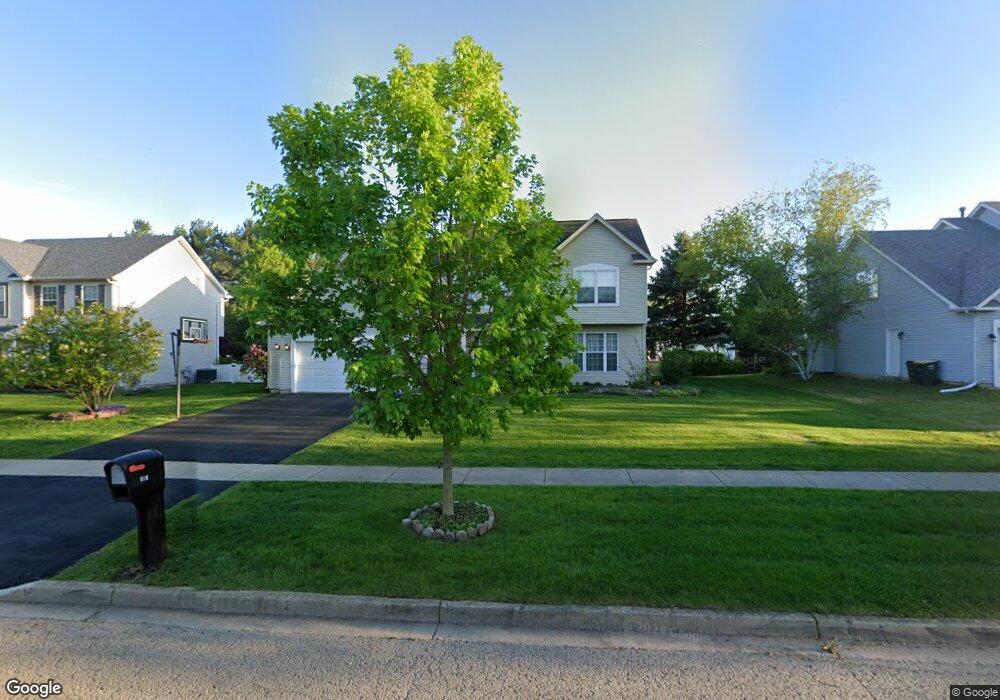
317 Millstream Ln Unit 1 Oswego, IL 60543
Northwest Oswego NeighborhoodEstimated Value: $411,000 - $465,000
4
Beds
3
Baths
2,303
Sq Ft
$186/Sq Ft
Est. Value
About This Home
This home is located at 317 Millstream Ln Unit 1, Oswego, IL 60543 and is currently estimated at $428,864, approximately $186 per square foot. 317 Millstream Ln Unit 1 is a home located in Kendall County with nearby schools including Fox Chase Elementary School, Traughber Junior High School, and Oswego High School.
Ownership History
Date
Name
Owned For
Owner Type
Purchase Details
Closed on
Oct 28, 2024
Sold by
Mcquaid Edward L and Mcquaid Mary E
Bought by
Edward L Mcquaid Iii Living Trust and Mary E Mcquaid Living Trust
Current Estimated Value
Purchase Details
Closed on
Sep 19, 2001
Sold by
The Old Second National Bank Of Aurora
Bought by
Mcquaid Edward L and Mcquaid Mary E
Home Financials for this Owner
Home Financials are based on the most recent Mortgage that was taken out on this home.
Original Mortgage
$170,000
Interest Rate
6.8%
Create a Home Valuation Report for This Property
The Home Valuation Report is an in-depth analysis detailing your home's value as well as a comparison with similar homes in the area
Home Values in the Area
Average Home Value in this Area
Purchase History
| Date | Buyer | Sale Price | Title Company |
|---|---|---|---|
| Edward L Mcquaid Iii Living Trust | -- | None Listed On Document | |
| Mcquaid Edward L | $216,000 | -- |
Source: Public Records
Mortgage History
| Date | Status | Borrower | Loan Amount |
|---|---|---|---|
| Previous Owner | Mcquaid Edward L | $170,000 |
Source: Public Records
Tax History Compared to Growth
Tax History
| Year | Tax Paid | Tax Assessment Tax Assessment Total Assessment is a certain percentage of the fair market value that is determined by local assessors to be the total taxable value of land and additions on the property. | Land | Improvement |
|---|---|---|---|---|
| 2024 | $8,065 | $111,223 | $27,628 | $83,595 |
| 2023 | $6,946 | $96,715 | $24,024 | $72,691 |
| 2022 | $6,946 | $87,923 | $21,840 | $66,083 |
| 2021 | $6,881 | $84,541 | $21,000 | $63,541 |
| 2020 | $6,568 | $80,515 | $20,000 | $60,515 |
| 2019 | $7,332 | $82,387 | $20,000 | $62,387 |
| 2018 | $7,338 | $81,729 | $22,347 | $59,382 |
| 2017 | $7,107 | $75,326 | $20,596 | $54,730 |
| 2016 | $6,802 | $71,399 | $19,522 | $51,877 |
| 2015 | $6,625 | $66,728 | $18,245 | $48,483 |
| 2014 | -- | $64,785 | $17,714 | $47,071 |
| 2013 | -- | $68,194 | $18,646 | $49,548 |
Source: Public Records
Map
Nearby Homes
- 338 Millstream Ln Unit 1
- 125 Presidential Blvd Unit 3248
- 602 Clearwater Ct Unit 2
- 514 Bentson St
- 505 Parkland Ct
- 608 Clearwater Ct
- 403 Lake Ct
- 411 Bayberry Dr
- 238 Willowwood Dr
- 5055 U S 34
- 409 Fawn Dr
- 435 Fawn Dr
- 537 Arbor Ln
- 2350 State Route 31
- 114 Riverview Ct
- 2110 State Route 31
- 123 W Benton St
- 173 Dolores St
- 613 Murdock Place
- 388 Danforth Dr
- 319 Millstream Ln Unit 1
- 315 Millstream Ln
- 103 Eisenhower Dr
- 101 Eisenhower Dr
- 321 Millstream Ln Unit 1
- 109 Eisenhower Dr Unit 1
- 313 Millstream Ln
- 318 Millstream Ln
- 315 Taft Dr
- 320 Millstream Ln Unit 1
- 316 Millstream Ln Unit 1
- 111 Eisenhower Dr
- 313 Taft Dr
- 322 Millstream Ln
- 314 Millstream Ln
- 323 Millstream Ln
- 104 Eisenhower Dr
- 102 Eisenhower Dr
- 106 Eisenhower Dr
- 413 Stonewater Ln