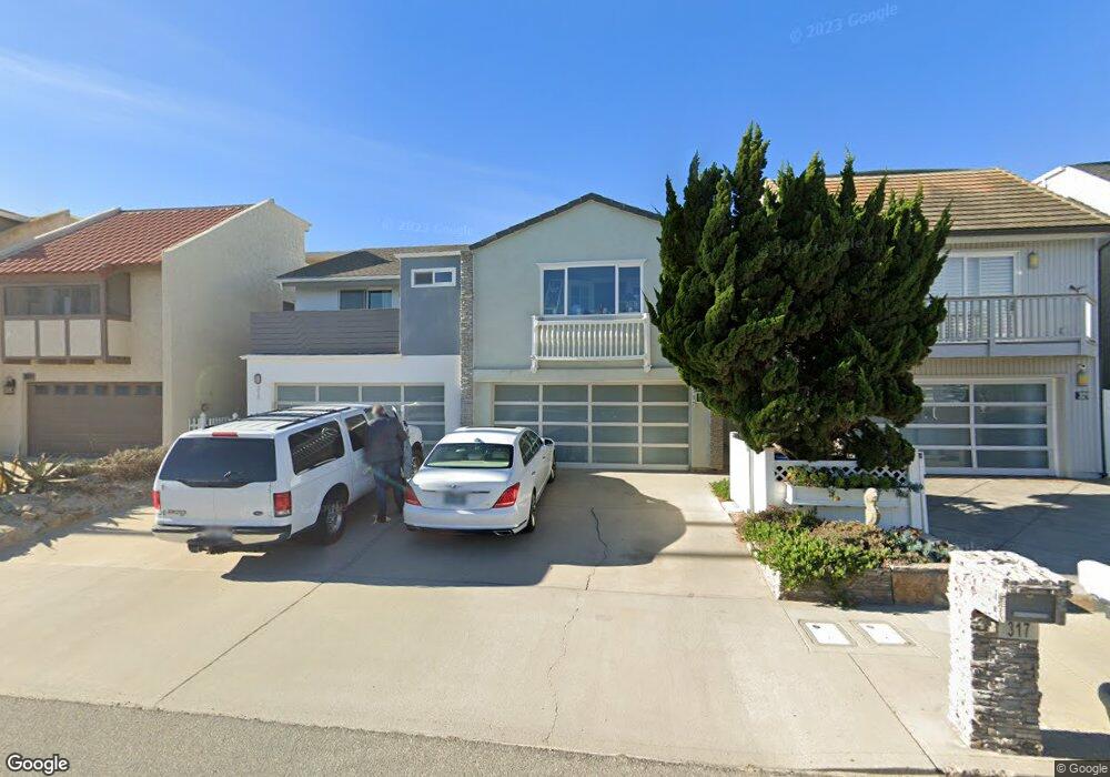
317 Ocean Dr Unit 2 Oxnard, CA 93035
Silver Strand NeighborhoodEstimated Value: $846,159 - $1,637,000
4
Beds
4
Baths
1,865
Sq Ft
$631/Sq Ft
Est. Value
About This Home
This home is located at 317 Ocean Dr Unit 2, Oxnard, CA 93035 and is currently estimated at $1,176,290, approximately $630 per square foot. 317 Ocean Dr Unit 2 is a home located in Ventura County with nearby schools including Hollywood Beach Elementary School and Oxnard High School.
Ownership History
Date
Name
Owned For
Owner Type
Purchase Details
Closed on
Nov 10, 1995
Sold by
Citicorp Mtg Inc
Bought by
Dalessandro Richard W
Current Estimated Value
Home Financials for this Owner
Home Financials are based on the most recent Mortgage that was taken out on this home.
Original Mortgage
$320,000
Outstanding Balance
$4,327
Interest Rate
7.25%
Estimated Equity
$1,171,963
Purchase Details
Closed on
Oct 12, 1994
Sold by
Security Pacific National Trust Company and Toomey John V
Bought by
Security Pacific National Trust Company
Create a Home Valuation Report for This Property
The Home Valuation Report is an in-depth analysis detailing your home's value as well as a comparison with similar homes in the area
Home Values in the Area
Average Home Value in this Area
Purchase History
| Date | Buyer | Sale Price | Title Company |
|---|---|---|---|
| Dalessandro Richard W | $400,000 | First American Title Ins Co | |
| Security Pacific National Trust Company | $420,000 | Fidelity National Title Ins |
Source: Public Records
Mortgage History
| Date | Status | Borrower | Loan Amount |
|---|---|---|---|
| Open | Dalessandro Richard W | $320,000 |
Source: Public Records
Tax History
| Year | Tax Paid | Tax Assessment Tax Assessment Total Assessment is a certain percentage of the fair market value that is determined by local assessors to be the total taxable value of land and additions on the property. | Land | Improvement |
|---|---|---|---|---|
| 2025 | $8,208 | $704,850 | $500,954 | $203,896 |
| 2024 | $8,208 | $691,030 | $491,131 | $199,899 |
| 2023 | $7,797 | $677,481 | $481,501 | $195,980 |
| 2022 | $7,576 | $664,198 | $472,060 | $192,138 |
| 2021 | $7,572 | $651,175 | $462,804 | $188,371 |
| 2020 | $7,480 | $644,500 | $458,059 | $186,441 |
| 2019 | $7,374 | $631,864 | $449,078 | $182,786 |
| 2018 | $7,127 | $619,475 | $440,273 | $179,202 |
| 2017 | $6,864 | $607,330 | $431,641 | $175,689 |
| 2016 | $6,656 | $595,423 | $423,178 | $172,245 |
| 2015 | $6,489 | $586,480 | $416,822 | $169,658 |
| 2014 | $6,386 | $571,946 | $408,658 | $163,288 |
Source: Public Records
Map
Nearby Homes
- 137 Santa Monica Ave
- 141 Los Angeles Ave
- 145 Los Angeles Ave
- 133 Santa Paula Ave
- 137 Fillmore Ave
- 120 Hueneme Ave
- 1825 Ocean Dr
- 117 Tujunga Ave
- 292 Highland Dr
- 2125 Piru Ave
- 360 Melrose Dr
- 105 Malibu Ave
- 2408 Ocean Dr
- 316 Santa Monica Dr
- 2421 Ocean Dr
- 2516 Roosevelt Blvd
- 2525 Roosevelt Blvd
- 274 Sunset
- 2916 Lakeshore Ct
- 124 San Clemente Ave
Your Personal Tour Guide
Ask me questions while you tour the home.