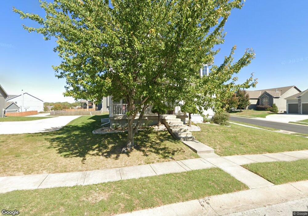
318 Mulberry Dr Raymore, MO 64083
Estimated Value: $397,214 - $565,000
3
Beds
3
Baths
3,008
Sq Ft
$154/Sq Ft
Est. Value
About This Home
This home is located at 318 Mulberry Dr, Raymore, MO 64083 and is currently estimated at $462,554, approximately $153 per square foot. 318 Mulberry Dr is a home located in Cass County with nearby schools including Raymore Elementary School, Raymore-Peculiar East Middle School, and Raymore-Peculiar Senior High School.
Ownership History
Date
Name
Owned For
Owner Type
Purchase Details
Closed on
Mar 29, 2006
Sold by
Richard Mather Builders Inc
Bought by
Mast John H and Mast Unchu
Current Estimated Value
Home Financials for this Owner
Home Financials are based on the most recent Mortgage that was taken out on this home.
Original Mortgage
$184,900
Outstanding Balance
$97,967
Interest Rate
6.21%
Mortgage Type
New Conventional
Estimated Equity
$364,587
Purchase Details
Closed on
Jan 17, 2006
Sold by
South Hampton Inc
Bought by
Richard Mather Builders Inc
Create a Home Valuation Report for This Property
The Home Valuation Report is an in-depth analysis detailing your home's value as well as a comparison with similar homes in the area
Home Values in the Area
Average Home Value in this Area
Purchase History
| Date | Buyer | Sale Price | Title Company |
|---|---|---|---|
| Mast John H | -- | -- | |
| Richard Mather Builders Inc | -- | -- |
Source: Public Records
Mortgage History
| Date | Status | Borrower | Loan Amount |
|---|---|---|---|
| Open | Mast John H | $184,900 |
Source: Public Records
Tax History
| Year | Tax Paid | Tax Assessment Tax Assessment Total Assessment is a certain percentage of the fair market value that is determined by local assessors to be the total taxable value of land and additions on the property. | Land | Improvement |
|---|---|---|---|---|
| 2025 | $4,261 | $59,920 | $4,860 | $55,060 |
| 2024 | $4,261 | $52,360 | $4,420 | $47,940 |
| 2023 | $4,255 | $52,360 | $4,420 | $47,940 |
| 2022 | $3,862 | $47,200 | $4,420 | $42,780 |
| 2021 | $3,862 | $47,200 | $4,420 | $42,780 |
| 2020 | $3,837 | $46,060 | $4,420 | $41,640 |
| 2019 | $3,704 | $46,060 | $4,420 | $41,640 |
| 2018 | $3,356 | $40,300 | $3,680 | $36,620 |
| 2017 | $3,091 | $40,300 | $3,680 | $36,620 |
| 2016 | $3,091 | $38,530 | $3,680 | $34,850 |
| 2015 | $3,093 | $38,530 | $3,680 | $34,850 |
| 2014 | $3,095 | $38,530 | $3,680 | $34,850 |
| 2013 | -- | $38,530 | $3,680 | $34,850 |
Source: Public Records
Map
Nearby Homes
- 804 S Washington St
- 709 Derby St
- 605 S Franklin St
- 1024 S Madison St
- 720 Sandpiper St
- 503 S Harrison Ave
- 506 S Adams St
- 713 S Sunset Ln
- 405 S Monroe St
- 528 S Saturn Dr
- 814 Coventry Ln
- 600 W Buena Vista Dr
- 817 Clancy Ct
- 515 S Saturn Dr
- 305 E Olive St
- 702 Twilight Ct
- 211 S Franklin St
- 727 Country Ln
- 901 W Lucy Webb Rd
- 522 Neptune Dr
- 320 Mulberry Dr
- 822 Mulberry Dr
- 808 S Washington St
- 811 S Washington St
- 809 S Washington St
- 315 Mulberry Dr
- 317 Mulberry Dr
- 807 S Washington St
- 313 Mulberry Dr
- 325 S Adams Ct
- 319 Mulberry Dr
- 322 Mulberry Dr
- 326 Mulberry Dr
- 327 S Adams Ct
- 321 Mulberry Dr
- 802 S Washington St
- 810 S Franklin St
- 309 Mulberry Dr
- 803 S Washington St
- 324 S Adams Ct
Your Personal Tour Guide
Ask me questions while you tour the home.