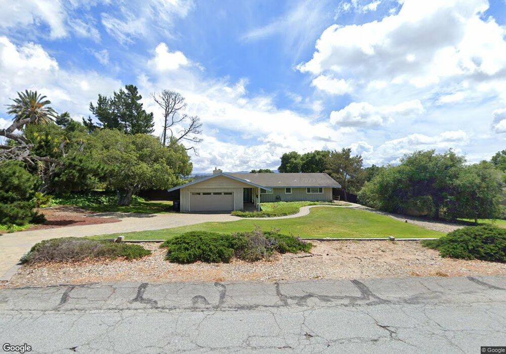
318 Saint Andrews Way Lompoc, CA 93436
Estimated Value: $801,000 - $903,000
4
Beds
3
Baths
2,090
Sq Ft
$401/Sq Ft
Est. Value
About This Home
This home is located at 318 Saint Andrews Way, Lompoc, CA 93436 and is currently estimated at $838,059, approximately $400 per square foot. 318 Saint Andrews Way is a home located in Santa Barbara County with nearby schools including Buena Vista Elementary School, Cabrillo High School, and Olive Grove Charter - Lompoc.
Ownership History
Date
Name
Owned For
Owner Type
Purchase Details
Closed on
May 31, 2001
Sold by
Heydenreich William T and Heydenreich Shirley M
Bought by
Heydenreich William T and Heydenreich Shirley M
Current Estimated Value
Purchase Details
Closed on
Aug 6, 1993
Sold by
Alverson Hunter M
Bought by
Heydenreich William T and Heydenreich Shirley M
Home Financials for this Owner
Home Financials are based on the most recent Mortgage that was taken out on this home.
Original Mortgage
$110,000
Interest Rate
7.21%
Create a Home Valuation Report for This Property
The Home Valuation Report is an in-depth analysis detailing your home's value as well as a comparison with similar homes in the area
Home Values in the Area
Average Home Value in this Area
Purchase History
| Date | Buyer | Sale Price | Title Company |
|---|---|---|---|
| Heydenreich William T | -- | -- | |
| Heydenreich William T | -- | -- | |
| Heydenreich William T | $210,000 | Stewart Title Of Santa Barba |
Source: Public Records
Mortgage History
| Date | Status | Borrower | Loan Amount |
|---|---|---|---|
| Previous Owner | Heydenreich William T | $110,000 |
Source: Public Records
Tax History
| Year | Tax Paid | Tax Assessment Tax Assessment Total Assessment is a certain percentage of the fair market value that is determined by local assessors to be the total taxable value of land and additions on the property. | Land | Improvement |
|---|---|---|---|---|
| 2025 | $4,225 | $364,868 | $169,955 | $194,913 |
| 2023 | $4,225 | $350,702 | $163,356 | $187,346 |
| 2022 | $4,158 | $343,826 | $160,153 | $183,673 |
| 2021 | $4,200 | $337,085 | $157,013 | $180,072 |
| 2020 | $4,158 | $333,630 | $155,404 | $178,226 |
| 2019 | $4,095 | $327,089 | $152,357 | $174,732 |
| 2018 | $4,037 | $320,676 | $149,370 | $171,306 |
| 2017 | $3,798 | $307,527 | $146,442 | $161,085 |
| 2016 | $3,462 | $301,498 | $143,571 | $157,927 |
| 2014 | $3,386 | $291,153 | $138,645 | $152,508 |
Source: Public Records
Map
Nearby Homes
- 250 Saint Andrews Way
- 384 Falcon Crest Dr
- 372 Falcon Crest Dr
- 4166 Oakwood Ct
- 4173 Oakwood Ct
- 649 Burning Tree Way
- 372 Oak Hill Dr
- 73 Stanford Cir
- 4473 Greenbrier Rd
- 0 Oak Hill Dr Unit 24-783
- 6 Stanford Cir
- 240 Oak Hill Dr
- 18 Galaxy Way
- 113 Gemini Ave
- 3939 Mesa Circle Dr
- 3922 Mesa Circle Dr
- 4447 Falcon Dr
- 3916 Mesa Circle Dr Unit A
- 3725 Jupiter Ave
- 3770 Rucker Rd
- 310 Saint Andrews Way
- 328 Saint Andrews Way
- 311 Falcon Crest Dr
- 319 Falcon Crest Dr
- 325 Falcon Crest Dr
- 336 Saint Andrews Way
- 317 Saint Andrews Way
- 4019 Saint Andrews Ct
- 327 Saint Andrews Way
- 3979 Burnham Dr
- 313 Falcon Crest Dr
- 339 Falcon Crest Dr
- 335 Saint Andrews Way
- 344 Saint Andrews Way
- 284 Saint Andrews Way
- 3991 Burnham Dr
- 299 Falcon Crest Dr
- 289 St Andrews Way
- 289 Saint Andrews Way
- 345 Saint Andrews Way
Your Personal Tour Guide
Ask me questions while you tour the home.