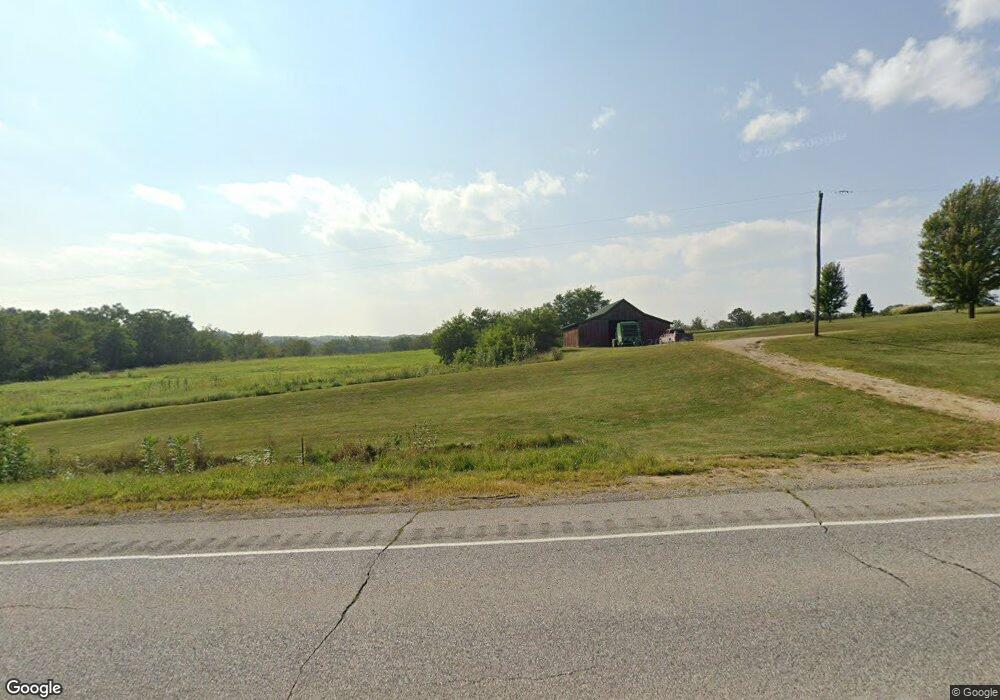
3180 Highway 63 Unit US Bloomfield, IA 52537
Estimated Value: $247,000 - $539,359
4
Beds
2
Baths
1,825
Sq Ft
$214/Sq Ft
Est. Value
About This Home
This home is located at 3180 Highway 63 Unit US, Bloomfield, IA 52537 and is currently estimated at $390,786, approximately $214 per square foot. 3180 Highway 63 Unit US is a home located in Wapello County with nearby schools including Douma Elementary School, Liberty Elementary School, and Evans Middle School.
Ownership History
Date
Name
Owned For
Owner Type
Purchase Details
Closed on
Dec 7, 2016
Sold by
Paris Randy and Paris Lucinda
Bought by
Paris Randy and Paris Lucinda
Current Estimated Value
Create a Home Valuation Report for This Property
The Home Valuation Report is an in-depth analysis detailing your home's value as well as a comparison with similar homes in the area
Home Values in the Area
Average Home Value in this Area
Purchase History
| Date | Buyer | Sale Price | Title Company |
|---|---|---|---|
| Paris Randy | -- | Attorney |
Source: Public Records
Tax History Compared to Growth
Tax History
| Year | Tax Paid | Tax Assessment Tax Assessment Total Assessment is a certain percentage of the fair market value that is determined by local assessors to be the total taxable value of land and additions on the property. | Land | Improvement |
|---|---|---|---|---|
| 2025 | $4,252 | $338,780 | $37,460 | $301,320 |
| 2024 | $4,252 | $310,240 | $28,070 | $282,170 |
| 2023 | $3,380 | $310,240 | $28,070 | $282,170 |
| 2022 | $3,144 | $233,130 | $20,840 | $212,290 |
| 2021 | $3,343 | $206,990 | $21,990 | $185,000 |
| 2020 | $3,126 | $207,020 | $23,170 | $183,850 |
| 2019 | $3,022 | $209,280 | $0 | $0 |
| 2018 | $2,970 | $209,280 | $0 | $0 |
| 2017 | $2,970 | $206,230 | $0 | $0 |
| 2016 | $2,714 | $193,952 | $0 | $0 |
| 2015 | $2,756 | $193,952 | $0 | $0 |
| 2014 | $2,756 | $193,952 | $0 | $0 |
Source: Public Records
Map
Nearby Homes
- 3788 Little Soap Rd
- 4261 Highway 63
- 3637 150th Ave
- 10186 Lupine Trail
- 13530 65th St
- 880 Montagne Ln
- 827 Ingersoll
- 0 15th St Unit NOC6332055
- 23751 125th St
- 1255 S Milner St
- 846 S Adella St
- 1404 Lake Rd
- 1007 S James St
- 559 S Moore St
- 00 S Webster St
- 0 S Webster Unit NOC6332429
- 522 S Davis St
- 534 Ray St
- 522 S Adella St
- 927 E Mary St
- 3208 Highway 63 Unit US
- 0 Us Highway 63
- 3317 Highway 63 Unit US
- 3390 Highway 63 Unit US
- 3389 Highway 63 Unit US
- 2838 Highway 63 Unit US
- 3529 Highway 63 Unit US
- 3529 Highway 63
- 2617 Highway 63
- 2617 Hwy 63
- 13077 25th St
- 2993 Little Soap Rd
- 13161 25th St
- 3165 Little Soap Rd
- 3206 Little Soap Rd
- 3717 Little Soap Rd
- 13077 25th
- 13052 25th St
- 3353 Little Soap Rd
- 3623 Little Soap Rd