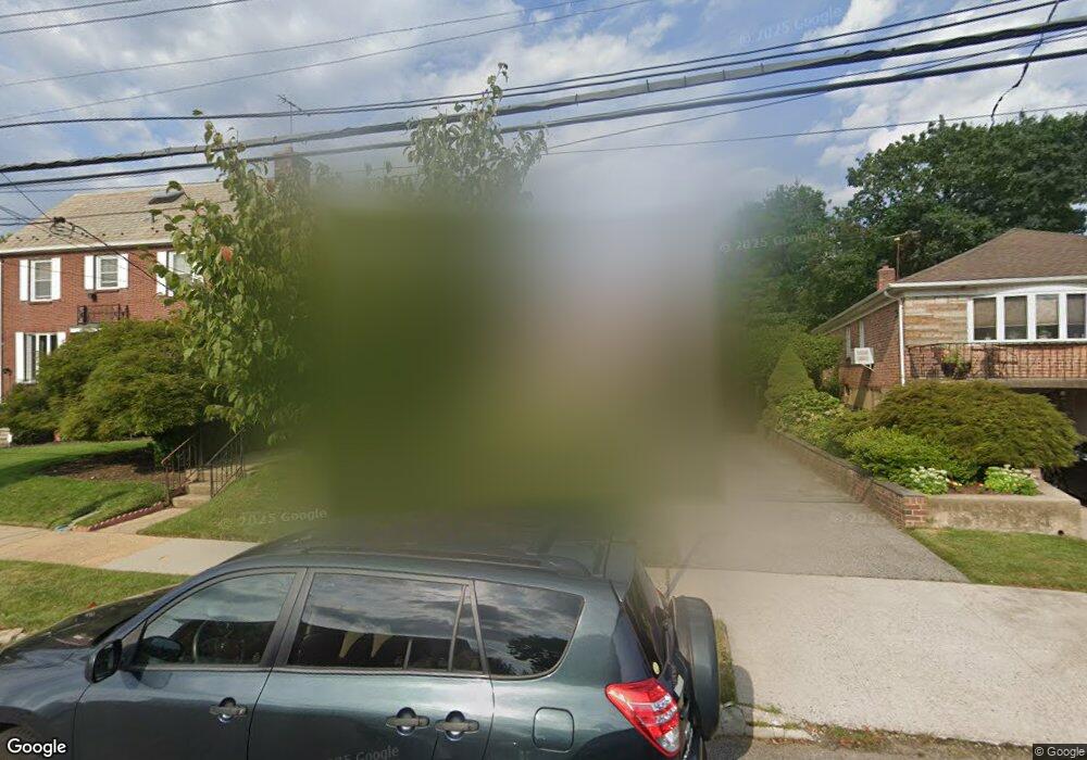
319 147th St Whitestone, NY 11357
Whitestone NeighborhoodEstimated Value: $1,126,000 - $1,423,000
Studio
--
Bath
1,464
Sq Ft
$834/Sq Ft
Est. Value
About This Home
This home is located at 319 147th St, Whitestone, NY 11357 and is currently estimated at $1,221,636, approximately $834 per square foot. 319 147th St is a home located in Queens County with nearby schools including P.S. 79 - Francis Lewis, Jhs 185 Edward Bleeker, and Bayside High School.
Ownership History
Date
Name
Owned For
Owner Type
Purchase Details
Closed on
Feb 4, 2022
Sold by
Jensen Patricia L
Bought by
Jensen Patricia
Current Estimated Value
Home Financials for this Owner
Home Financials are based on the most recent Mortgage that was taken out on this home.
Original Mortgage
$647,200
Interest Rate
3.55%
Mortgage Type
Purchase Money Mortgage
Create a Home Valuation Report for This Property
The Home Valuation Report is an in-depth analysis detailing your home's value as well as a comparison with similar homes in the area
Home Values in the Area
Average Home Value in this Area
Purchase History
| Date | Buyer | Sale Price | Title Company |
|---|---|---|---|
| Jensen Patricia | -- | -- |
Source: Public Records
Mortgage History
| Date | Status | Borrower | Loan Amount |
|---|---|---|---|
| Closed | Jensen Patricia | $647,200 |
Source: Public Records
Tax History
| Year | Tax Paid | Tax Assessment Tax Assessment Total Assessment is a certain percentage of the fair market value that is determined by local assessors to be the total taxable value of land and additions on the property. | Land | Improvement |
|---|---|---|---|---|
| 2025 | $11,493 | $67,734 | $15,821 | $51,913 |
| 2024 | $11,597 | $63,900 | $17,842 | $46,058 |
| 2023 | $11,160 | $62,245 | $17,171 | $45,074 |
| 2022 | $10,489 | $65,820 | $17,280 | $48,540 |
| 2021 | $11,093 | $67,080 | $17,280 | $49,800 |
| 2020 | $10,962 | $57,780 | $17,280 | $40,500 |
| 2019 | $10,240 | $57,120 | $17,280 | $39,840 |
| 2018 | $9,328 | $51,871 | $16,380 | $35,491 |
| 2017 | $8,977 | $48,936 | $17,229 | $31,707 |
| 2016 | $8,811 | $48,936 | $17,229 | $31,707 |
| 2015 | $4,924 | $48,566 | $16,856 | $31,710 |
| 2014 | $4,924 | $45,818 | $19,091 | $26,727 |
Source: Public Records
Map
Nearby Homes
- 145-67 5th Ave
- 145-45 4th Ave
- 2-44 149th St
- 147-07 8th Ave
- 3-24 150th St
- 104 Malba Dr
- 14728 8th Ave
- 145-85 9th Ave
- 6 Summit Place
- 14910 7th Ave
- 145-65 9th Ave
- 1-06 Samos Ln
- 145-53 9th Ave
- 118 Malba Dr
- 2-07 Parsons Blvd
- 14962 Powells Cove Blvd
- 144-58 Boulevard
- 150-26 Sullivan Dr
- 15095 Powells Cove Blvd
- 150-50 6th Ave
Your Personal Tour Guide
Ask me questions while you tour the home.