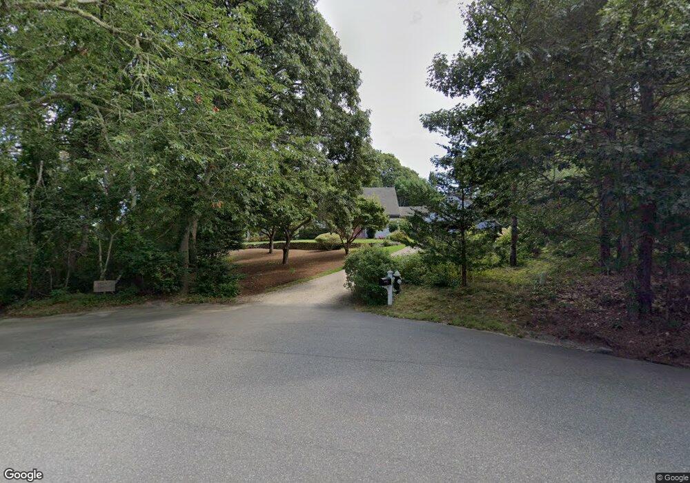
32 Bantry Ln Brewster, MA 02631
Estimated Value: $772,000 - $2,045,798
4
Beds
3
Baths
2,840
Sq Ft
$570/Sq Ft
Est. Value
About This Home
This home is located at 32 Bantry Ln, Brewster, MA 02631 and is currently estimated at $1,618,599, approximately $569 per square foot. 32 Bantry Ln is a home located in Barnstable County with nearby schools including Stony Brook Elementary School, Eddy Elementary School, and Nauset Regional Middle School.
Ownership History
Date
Name
Owned For
Owner Type
Purchase Details
Closed on
Nov 21, 2023
Sold by
Rodney M Vining Est Tax T and Vining
Bought by
Thirty Two Bantry Lane Nt and Vining
Current Estimated Value
Purchase Details
Closed on
Feb 10, 2009
Sold by
Rodney M Vining Ret and Vining
Bought by
Elizabeth P Vining Ret and Vining
Purchase Details
Closed on
Dec 11, 2006
Sold by
Rodney M Vining Ret and Vining
Bought by
Vining Rodney M Est and Vining
Create a Home Valuation Report for This Property
The Home Valuation Report is an in-depth analysis detailing your home's value as well as a comparison with similar homes in the area
Home Values in the Area
Average Home Value in this Area
Purchase History
| Date | Buyer | Sale Price | Title Company |
|---|---|---|---|
| Thirty Two Bantry Lane Nt | -- | None Available | |
| Elizabeth P Vining Ret | -- | -- | |
| Vining Rodney M Est | -- | -- |
Source: Public Records
Tax History
| Year | Tax Paid | Tax Assessment Tax Assessment Total Assessment is a certain percentage of the fair market value that is determined by local assessors to be the total taxable value of land and additions on the property. | Land | Improvement |
|---|---|---|---|---|
| 2025 | $13,309 | $1,934,400 | $1,184,700 | $749,700 |
| 2024 | $14,086 | $2,068,400 | $1,320,900 | $747,500 |
| 2023 | $11,015 | $1,575,800 | $907,000 | $668,800 |
| 2022 | $10,382 | $1,322,600 | $755,700 | $566,900 |
| 2021 | $9,733 | $1,134,400 | $656,900 | $477,500 |
| 2020 | $9,636 | $1,117,900 | $656,900 | $461,000 |
| 2019 | $9,100 | $1,060,600 | $616,000 | $444,600 |
| 2018 | $8,664 | $1,048,900 | $616,000 | $432,900 |
| 2017 | $8,608 | $1,026,000 | $616,000 | $410,000 |
| 2016 | $8,372 | $993,100 | $604,100 | $389,000 |
| 2015 | $8,029 | $972,000 | $592,100 | $379,900 |
Source: Public Records
Map
Nearby Homes
- 2019 Main St
- 1861 Main St
- 23 Landing Ln Unit 23
- 1580 Main St
- 240 Robbins Hill Rd
- 87 N Pond Dr
- 103 Trevor Ln Unit 103
- 63 Trevor Ln Unit 63
- 20 Spring Ln
- 398 Lund Farm Way
- 100 Fletcher Ln Unit E
- 39 Spruce Run Dr
- 0 Old Chatham Rd
- 958 Long Pond Rd
- 52 Eaton Ln Unit (52)
- 235 Old Chatham Rd
- 429 Paines Creek Rd
- 127 Eaton Ln Unit 127
- 14 Howland Cir Unit 14
- 204 Eaton Ln Unit 204
Your Personal Tour Guide
Ask me questions while you tour the home.