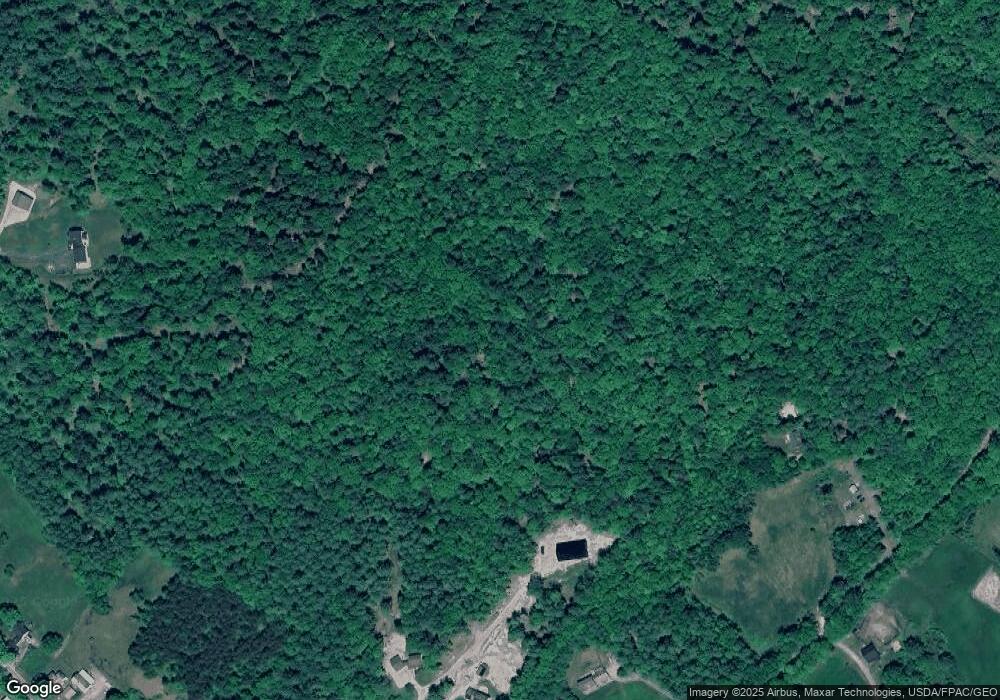
32 Boulder Ridge New Gloucester, ME 04260
Estimated Value: $436,000 - $525,537
3
Beds
2
Baths
1,096
Sq Ft
$433/Sq Ft
Est. Value
About This Home
This home is located at 32 Boulder Ridge, New Gloucester, ME 04260 and is currently estimated at $474,512, approximately $432 per square foot. 32 Boulder Ridge is a home located in Cumberland County with nearby schools including Gray-New Gloucester High School.
Ownership History
Date
Name
Owned For
Owner Type
Purchase Details
Closed on
Jun 27, 2023
Sold by
Beedy Dennis C and Beedy Joyce E
Bought by
Strout Megan D and Strout Jared
Current Estimated Value
Purchase Details
Closed on
Jun 2, 2016
Sold by
Dennis C Beedy
Bought by
Kinney Stephen
Home Financials for this Owner
Home Financials are based on the most recent Mortgage that was taken out on this home.
Original Mortgage
$179,000
Interest Rate
3.66%
Create a Home Valuation Report for This Property
The Home Valuation Report is an in-depth analysis detailing your home's value as well as a comparison with similar homes in the area
Home Values in the Area
Average Home Value in this Area
Purchase History
| Date | Buyer | Sale Price | Title Company |
|---|---|---|---|
| Strout Megan D | -- | None Available | |
| Strout Megan D | -- | None Available | |
| Kinney Stephen | -- | -- |
Source: Public Records
Mortgage History
| Date | Status | Borrower | Loan Amount |
|---|---|---|---|
| Previous Owner | Kinney Stephen | $179,000 | |
| Previous Owner | Kinney Stephen | -- |
Source: Public Records
Tax History Compared to Growth
Tax History
| Year | Tax Paid | Tax Assessment Tax Assessment Total Assessment is a certain percentage of the fair market value that is determined by local assessors to be the total taxable value of land and additions on the property. | Land | Improvement |
|---|---|---|---|---|
| 2025 | $4,974 | $321,505 | $99,388 | $222,117 |
| 2024 | $4,802 | $322,467 | $100,350 | $222,117 |
| 2023 | $4,873 | $341,039 | $118,922 | $222,117 |
| 2022 | $4,546 | $329,436 | $107,319 | $222,117 |
| 2021 | $4,064 | $294,501 | $107,481 | $187,020 |
| 2020 | $4,021 | $294,569 | $107,549 | $187,020 |
| 2019 | $9,583 | $221,100 | $86,700 | $134,400 |
| 2018 | $776 | $223,600 | $89,200 | $134,400 |
| 2017 | $3,480 | $223,100 | $88,700 | $134,400 |
| 2016 | $8,607 | $222,500 | $88,100 | $134,400 |
| 2015 | $3,198 | $218,300 | $83,900 | $134,400 |
| 2014 | $3,174 | $218,900 | $84,500 | $134,400 |
| 2013 | $2,947 | $219,100 | $84,700 | $134,400 |
Source: Public Records
Map
Nearby Homes
- 200 Woodman Rd
- 160 Gloucester Hill Rd
- 10 Cobbs Bridge Rd
- 155 & 151 Gloucester Hill Rd
- 0018-C Gloucester Hill Rd
- 284 Allen Rd
- 244 Allen Rd
- 850 Lawrence Rd
- 890 Elmwood Rd
- 026-01 Dow Ln
- 164 Intervale Rd
- 29 Rockwood Dr
- 22 Shaw Rd
- 99 Rangdale Rd
- 271 Bennett Rd
- TBD Targett Rd
- 0 Mayall
- 12 Country Charm Ln
- 24 Swamp Rd
- 79 Birchwood Terrace
- 29 Boulder Ridge
- 49 Atwood Rd
- 862 Intervale Rd
- 852 Intervale Rd
- 5 Boulder Ridge
- 174 Atwood Rd
- TBD Atwood Rd
- 846 Intervale Rd
- 882 Intervale Rd
- 15 Atwood Rd
- 855 Intervale Rd
- 834 Intervale Rd
- 861 Intervale Rd
- 41 Atwood Rd
- 56 Winsaw Rd
- 849 Intervale Rd
- 828 Intervale Rd
- 891 Intervale Rd
- 831 Intervale Rd
- 70 Atwood Rd
