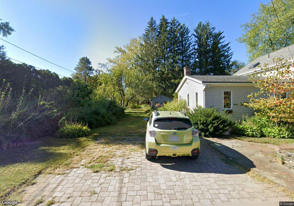
32 Burts Pit Rd Northampton, MA 01060
Florence NeighborhoodEstimated Value: $829,541 - $974,000
4
Beds
2
Baths
2,358
Sq Ft
$389/Sq Ft
Est. Value
About This Home
This home is located at 32 Burts Pit Rd, Northampton, MA 01060 and is currently estimated at $916,635, approximately $388 per square foot. 32 Burts Pit Rd is a home located in Hampshire County with nearby schools including Northampton High School, Hilltown Cooperative Charter Public School, and The Montessori School of Northampton.
Ownership History
Date
Name
Owned For
Owner Type
Purchase Details
Closed on
Dec 8, 2014
Sold by
Payne Eric L and Payne Joan C
Bought by
Payne Eric L
Current Estimated Value
Home Financials for this Owner
Home Financials are based on the most recent Mortgage that was taken out on this home.
Original Mortgage
$112,600
Outstanding Balance
$19,657
Interest Rate
3.93%
Mortgage Type
New Conventional
Estimated Equity
$896,978
Purchase Details
Closed on
Apr 30, 2010
Sold by
Huggins Sven
Bought by
Payne Eric L and Payne Joan Cd
Home Financials for this Owner
Home Financials are based on the most recent Mortgage that was taken out on this home.
Original Mortgage
$140,000
Interest Rate
4.99%
Mortgage Type
Purchase Money Mortgage
Purchase Details
Closed on
Nov 19, 2009
Sold by
Huggins Sven and Shea Naomi H
Bought by
Huggins Sven
Purchase Details
Closed on
Aug 31, 2005
Sold by
Sasso Dea and Jennings Maryann
Bought by
Shea Naomi H and Huggins Sven
Create a Home Valuation Report for This Property
The Home Valuation Report is an in-depth analysis detailing your home's value as well as a comparison with similar homes in the area
Home Values in the Area
Average Home Value in this Area
Purchase History
| Date | Buyer | Sale Price | Title Company |
|---|---|---|---|
| Payne Eric L | -- | -- | |
| Payne Eric L | $435,000 | -- | |
| Huggins Sven | -- | -- | |
| Shea Naomi H | $470,000 | -- |
Source: Public Records
Mortgage History
| Date | Status | Borrower | Loan Amount |
|---|---|---|---|
| Open | Payne Eric L | $112,600 | |
| Previous Owner | Payne Eric L | $140,000 |
Source: Public Records
Tax History
| Year | Tax Paid | Tax Assessment Tax Assessment Total Assessment is a certain percentage of the fair market value that is determined by local assessors to be the total taxable value of land and additions on the property. | Land | Improvement |
|---|---|---|---|---|
| 2025 | $10,856 | $779,300 | $139,200 | $640,100 |
| 2024 | $10,323 | $679,600 | $139,200 | $540,400 |
| 2023 | $9,244 | $583,600 | $126,200 | $457,400 |
| 2022 | $8,319 | $465,000 | $118,600 | $346,400 |
| 2021 | $7,916 | $455,700 | $113,200 | $342,500 |
| 2020 | $7,656 | $455,700 | $113,200 | $342,500 |
| 2019 | $7,344 | $422,800 | $106,000 | $316,800 |
| 2018 | $6,944 | $407,500 | $106,000 | $301,500 |
| 2017 | $6,558 | $392,900 | $106,000 | $286,900 |
| 2016 | $6,349 | $392,900 | $106,000 | $286,900 |
| 2015 | $6,337 | $401,100 | $110,400 | $290,700 |
| 2014 | $6,173 | $401,100 | $110,400 | $290,700 |
Source: Public Records
Map
Nearby Homes
- 23 Ford Crossing
- 18 Cedar St
- 283 South St
- 61 Harrison Ave
- 218 Elm St
- 12 School St
- 4 School St
- 57 Columbus Ave
- 63 Riverside Dr
- 244 Main St
- 231 Main St Unit 3R
- 61 Woodlawn Ave
- 635 Florence Rd
- 296 Old Wilson Rd
- 43 Center St Unit K
- 697 Florence Rd
- 61 Crescent St Unit 8
- 61 Crescent St Unit 7
- 29 Pleasant St Unit 1
- 23 Randolph Place Unit 109
Your Personal Tour Guide
Ask me questions while you tour the home.