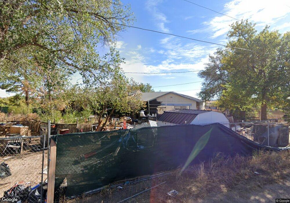
32 Carlson Rd Santa Fe, NM 87508
Estimated Value: $308,000 - $730,000
3
Beds
2
Baths
1,890
Sq Ft
$285/Sq Ft
Est. Value
About This Home
This home is located at 32 Carlson Rd, Santa Fe, NM 87508 and is currently estimated at $539,318, approximately $285 per square foot. 32 Carlson Rd is a home located in Santa Fe County with nearby schools including Amy Biehl Community School at Rancho Viejo and Capital High School.
Ownership History
Date
Name
Owned For
Owner Type
Purchase Details
Closed on
Dec 11, 2023
Sold by
Doyle Robert A
Bought by
Bank Of America Na
Current Estimated Value
Purchase Details
Closed on
Sep 29, 2006
Sold by
Swofford John Wayne and Rich Thelma Lavella
Bought by
Dodson Nicholas A and Dodson Samantha
Home Financials for this Owner
Home Financials are based on the most recent Mortgage that was taken out on this home.
Original Mortgage
$242,248
Interest Rate
6.51%
Mortgage Type
FHA
Create a Home Valuation Report for This Property
The Home Valuation Report is an in-depth analysis detailing your home's value as well as a comparison with similar homes in the area
Home Values in the Area
Average Home Value in this Area
Purchase History
| Date | Buyer | Sale Price | Title Company |
|---|---|---|---|
| Bank Of America Na | -- | None Listed On Document | |
| Dodson Nicholas A | -- | Landamerica Capitol City Tit |
Source: Public Records
Mortgage History
| Date | Status | Borrower | Loan Amount |
|---|---|---|---|
| Previous Owner | Dodson Nicholas A | $242,248 |
Source: Public Records
Tax History Compared to Growth
Tax History
| Year | Tax Paid | Tax Assessment Tax Assessment Total Assessment is a certain percentage of the fair market value that is determined by local assessors to be the total taxable value of land and additions on the property. | Land | Improvement |
|---|---|---|---|---|
| 2024 | $2,285 | $326,611 | $117,740 | $208,871 |
| 2023 | $888 | $123,187 | $33,593 | $89,594 |
| 2022 | $866 | $119,600 | $32,615 | $86,985 |
| 2021 | $849 | $38,706 | $10,555 | $28,151 |
| 2020 | $830 | $37,579 | $10,247 | $27,332 |
| 2019 | $814 | $36,485 | $9,949 | $26,536 |
| 2018 | $793 | $35,422 | $9,659 | $25,763 |
| 2017 | $766 | $34,391 | $9,378 | $25,013 |
| 2016 | $719 | $33,390 | $9,106 | $24,284 |
| 2015 | $705 | $32,418 | $8,841 | $23,577 |
| 2014 | $668 | $31,442 | $8,575 | $22,867 |
Source: Public Records
Map
Nearby Homes
- 66 Las Estrellas Unit B
- 74 Las Estrellas
- 10 Avenida Hermosa
- 262 Los Pinos Rd Unit A
- 262 Los Pinos Rd Unit A
- 208 Sunrise Rd
- 22 Cerro Del Alamo
- 3 Canyon Cliff Dr
- 32 Sunset Canyon Ln
- 117 Mountaingem Loop
- 107 Mountaingem Loop
- 13 Sky Ridge Dr
- 13 Sky
- 95 Mountaingem Loop
- 61 Camino Vista Grande
- 74 Mountaingem Loop
- 32 Wirecrest Ln
- 60 Mountaingem Loop
- Parklane Plan at Colibri - Trail
- Yucca Plan at Colibri - Desert