32 Colony Rd Unit 4 West Springfield, MA 01089
Estimated Value: $124,000 - $172,000
2
Beds
1
Bath
541
Sq Ft
$260/Sq Ft
Est. Value
About This Home
This home is located at 32 Colony Rd Unit 4, West Springfield, MA 01089 and is currently estimated at $140,833, approximately $260 per square foot. 32 Colony Rd Unit 4 is a home located in Hampden County with nearby schools including Hampden Charter School of Science West and St Thomas The Apostle School.
Ownership History
Date
Name
Owned For
Owner Type
Purchase Details
Closed on
May 4, 2006
Sold by
Grimaldi John A
Bought by
Goldman Mark and Goldman Ruslan
Current Estimated Value
Home Financials for this Owner
Home Financials are based on the most recent Mortgage that was taken out on this home.
Original Mortgage
$52,500
Outstanding Balance
$30,301
Interest Rate
6.34%
Mortgage Type
Purchase Money Mortgage
Estimated Equity
$110,532
Purchase Details
Closed on
Mar 30, 1998
Sold by
32-2B Colony Rd Rt and Beaumier Donna L
Bought by
Grimaldi John A
Home Financials for this Owner
Home Financials are based on the most recent Mortgage that was taken out on this home.
Original Mortgage
$16,872
Interest Rate
6.96%
Mortgage Type
Purchase Money Mortgage
Create a Home Valuation Report for This Property
The Home Valuation Report is an in-depth analysis detailing your home's value as well as a comparison with similar homes in the area
Home Values in the Area
Average Home Value in this Area
Purchase History
| Date | Buyer | Sale Price | Title Company |
|---|---|---|---|
| Goldman Mark | $70,000 | -- | |
| Grimaldi John A | $21,900 | -- |
Source: Public Records
Mortgage History
| Date | Status | Borrower | Loan Amount |
|---|---|---|---|
| Open | Goldman Mark | $52,500 | |
| Previous Owner | Grimaldi John A | $16,872 |
Source: Public Records
Tax History Compared to Growth
Tax History
| Year | Tax Paid | Tax Assessment Tax Assessment Total Assessment is a certain percentage of the fair market value that is determined by local assessors to be the total taxable value of land and additions on the property. | Land | Improvement |
|---|---|---|---|---|
| 2025 | $1,448 | $97,400 | $0 | $97,400 |
| 2024 | $1,281 | $86,500 | $0 | $86,500 |
| 2023 | $1,077 | $69,300 | $0 | $69,300 |
| 2022 | $939 | $59,600 | $0 | $59,600 |
| 2021 | $860 | $50,900 | $0 | $50,900 |
| 2020 | $865 | $50,900 | $0 | $50,900 |
| 2019 | $863 | $50,900 | $0 | $50,900 |
| 2018 | $868 | $50,900 | $0 | $50,900 |
| 2017 | $868 | $50,900 | $0 | $50,900 |
| 2016 | $816 | $48,000 | $0 | $48,000 |
| 2015 | $800 | $47,100 | $0 | $47,100 |
| 2014 | $773 | $47,100 | $0 | $47,100 |
Source: Public Records
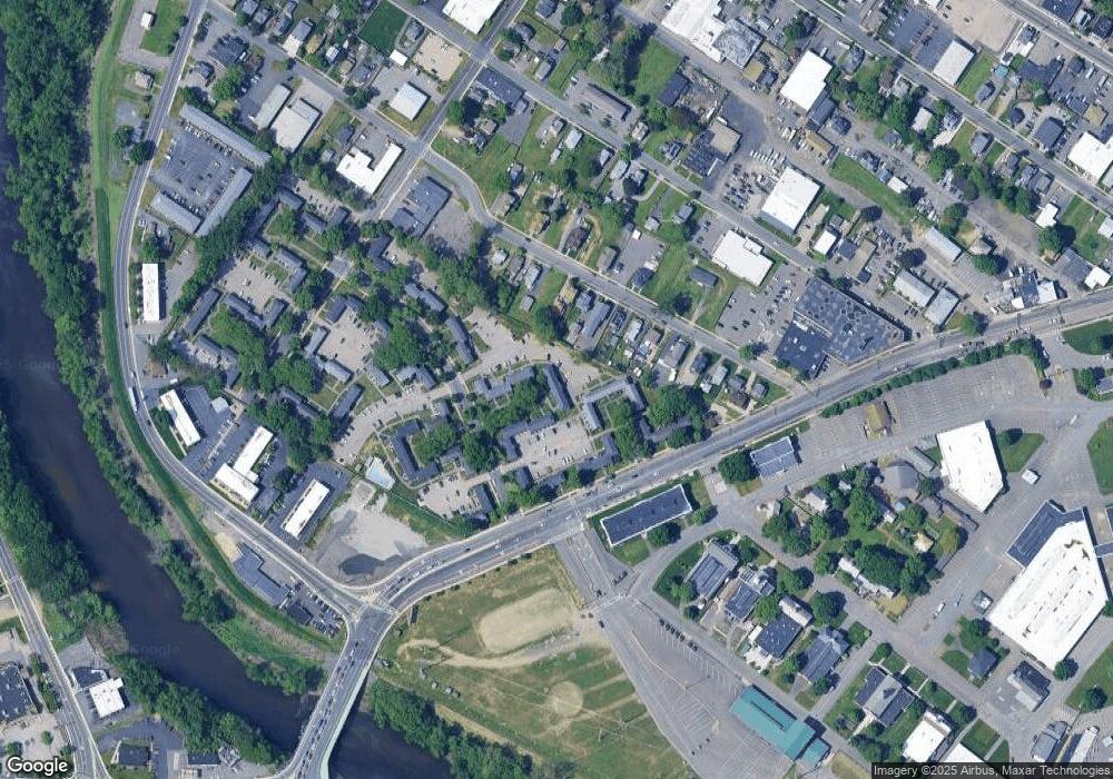
Map
Nearby Homes
- 49 Colony Rd
- 86 York St
- 456 Cold Spring Ave Unit 2A
- 51 Reed St
- 138 Suffield St
- Lot 10 Ahiska Rd
- 19 Church St
- 50 Howard St
- 25 Damato Way
- 36-38 Rowley St
- 21 High St
- 120 Hampden St
- 335-337 Springfield St
- 267 Rowley St
- 524 Westfield St
- 44 Spring St
- 37 Day St
- 354 Rowley St
- 420 Main St Unit 82
- 83 Harvey Johnson Dr
- 1658 Memorial Ave Unit 4
- 1658 Memorial Ave Unit 3
- 1658 Memorial Ave Unit 2
- 429 Cold Spring Ave
- 62 Colony Rd
- 60 Colony Rd
- 50 Colony Rd
- 46 Colony Rd
- 44 Colony Rd
- 42 Colony Rd
- 38 Colony Rd
- 32 Colony Rd Unit 3
- 32 Colony Rd Unit 2
- 32 Colony Rd Unit 1
- 36 Colony Rd
- 34 Colony Rd
- 30 Colony Rd
- 18 Colony Rd
- 12 Colony Rd
- 1608 Memorial Ave